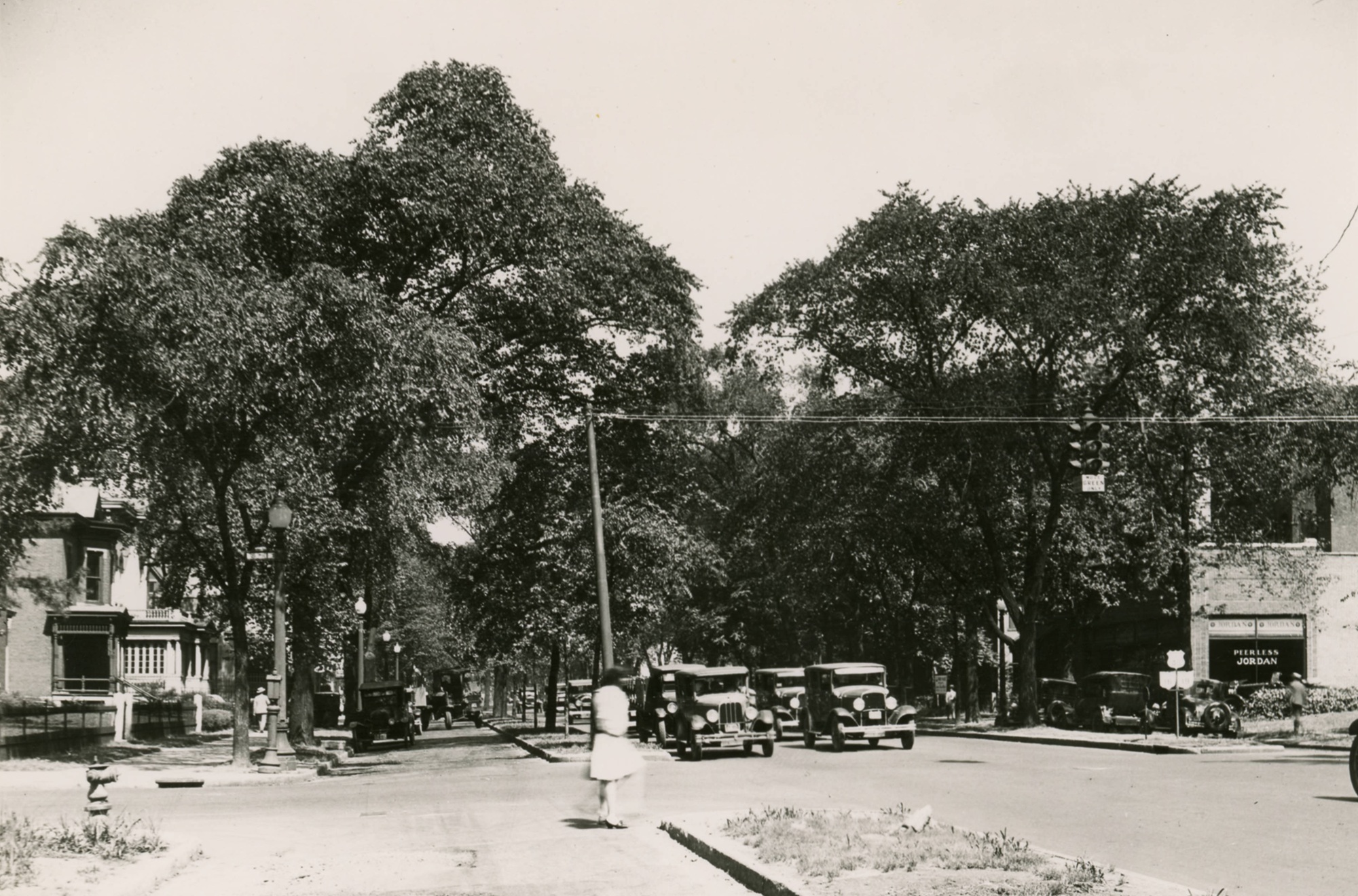
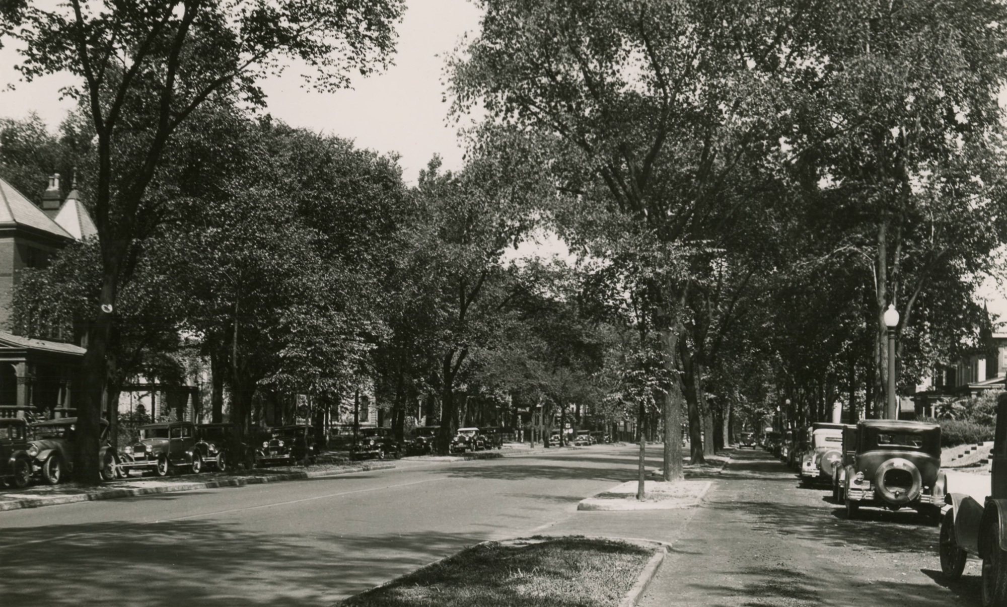
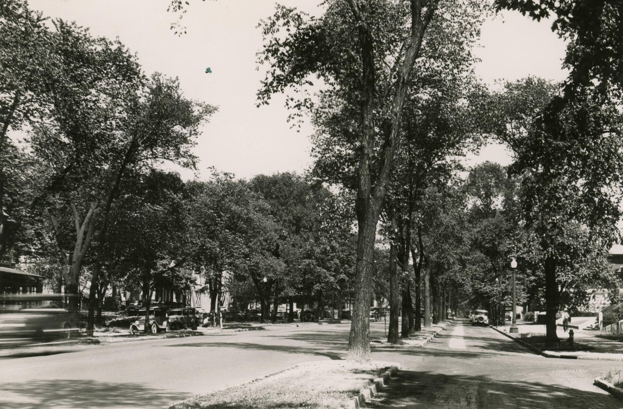
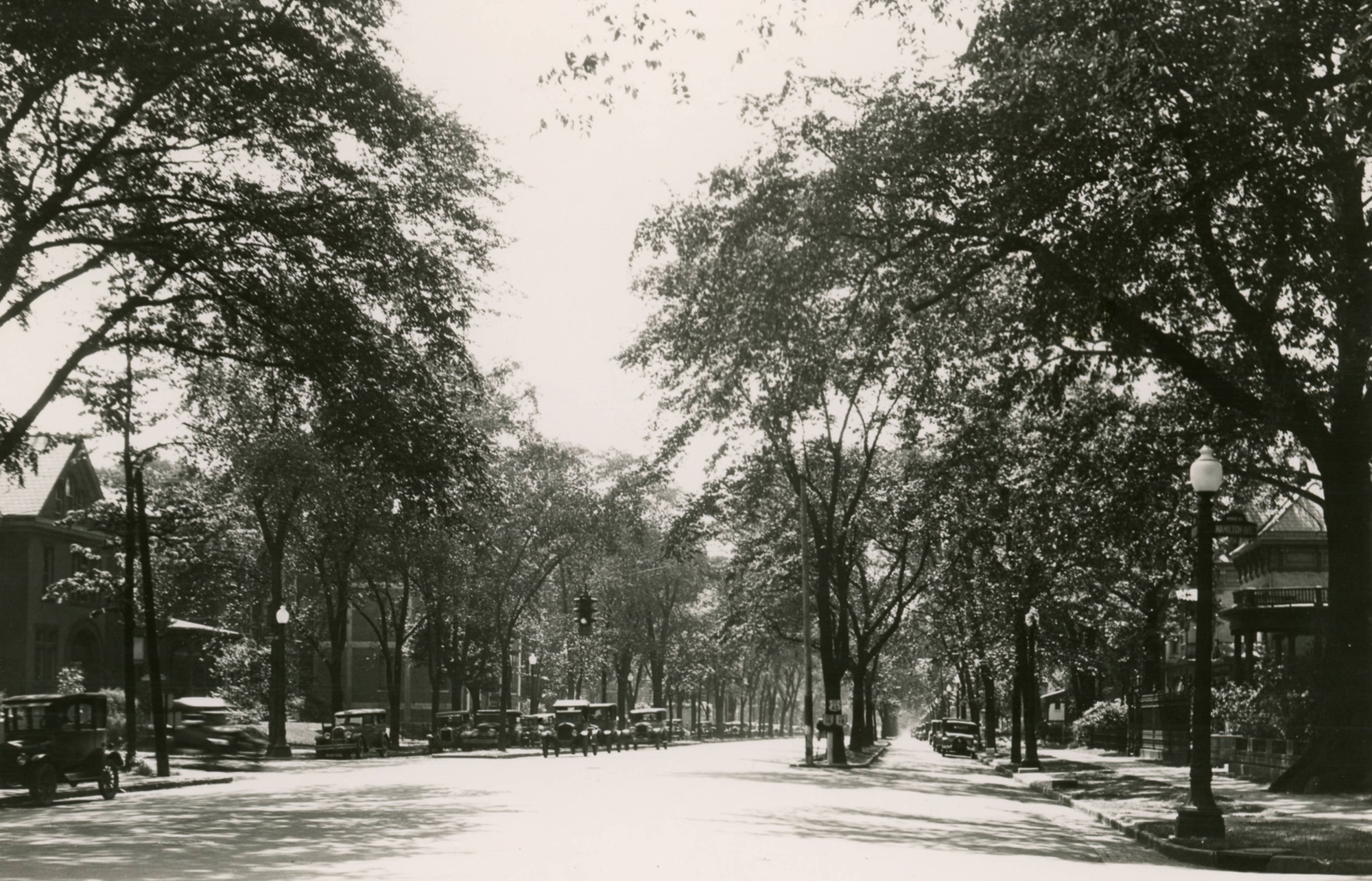
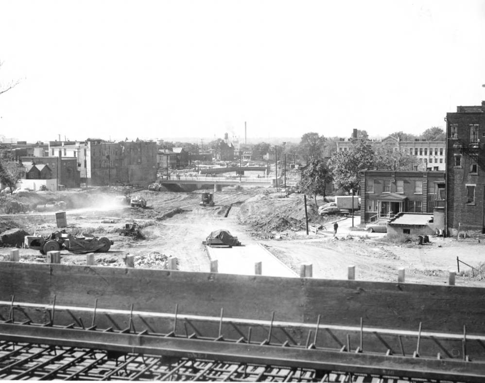
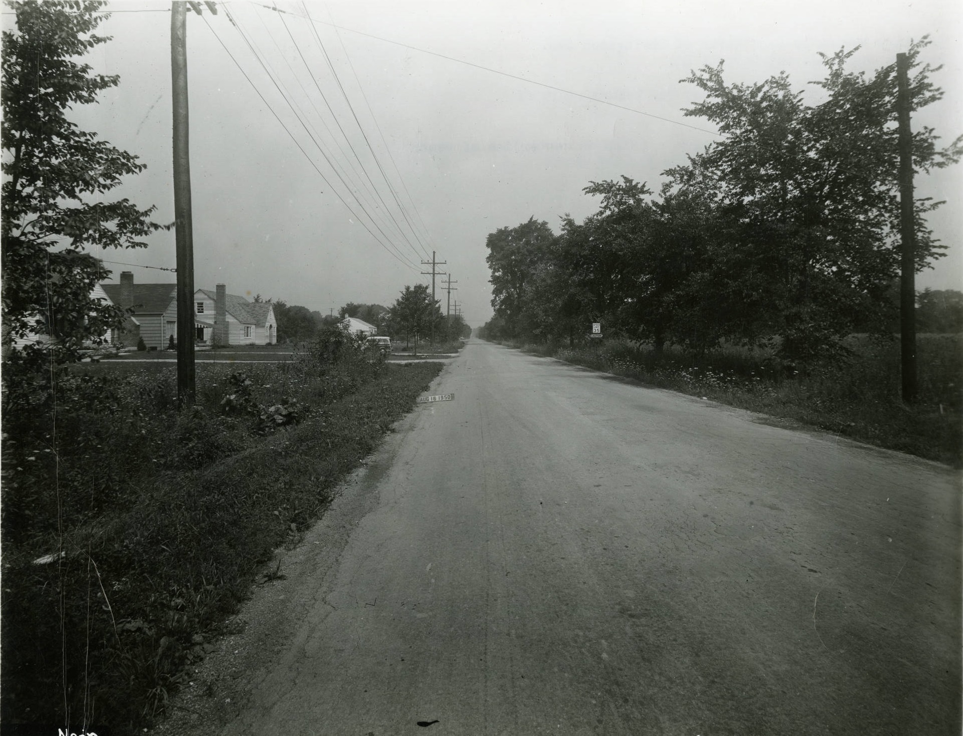
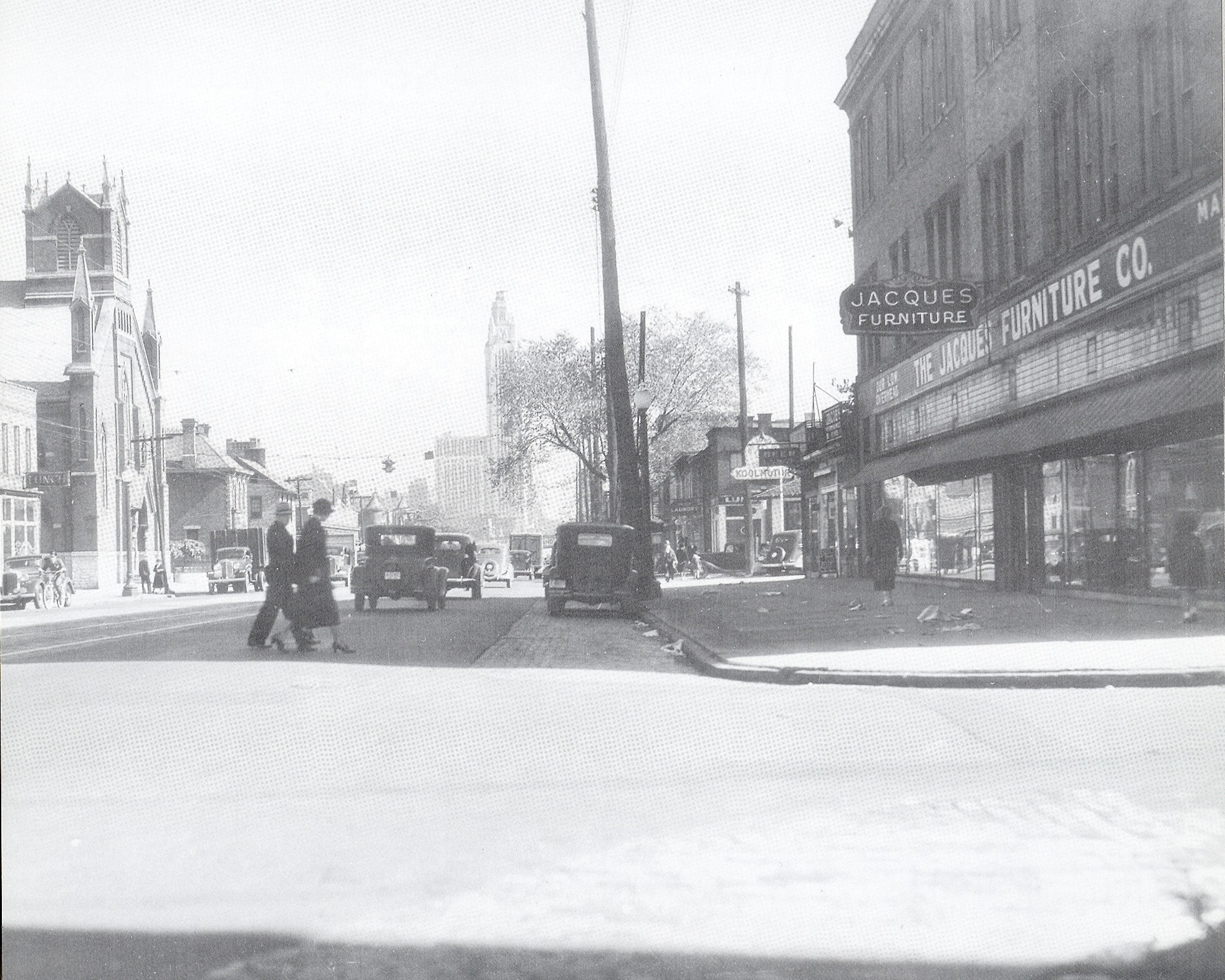
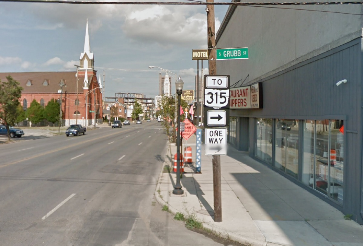
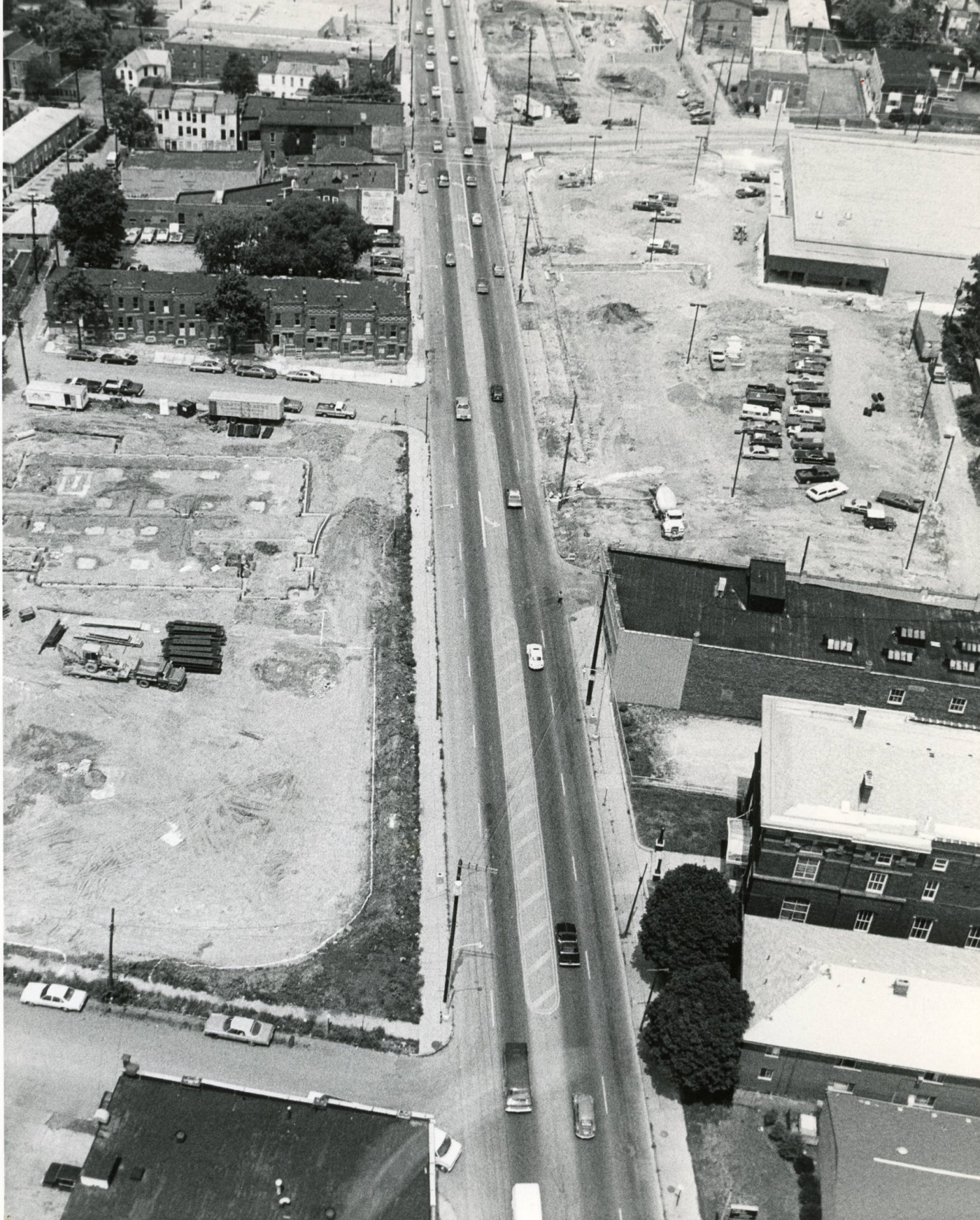
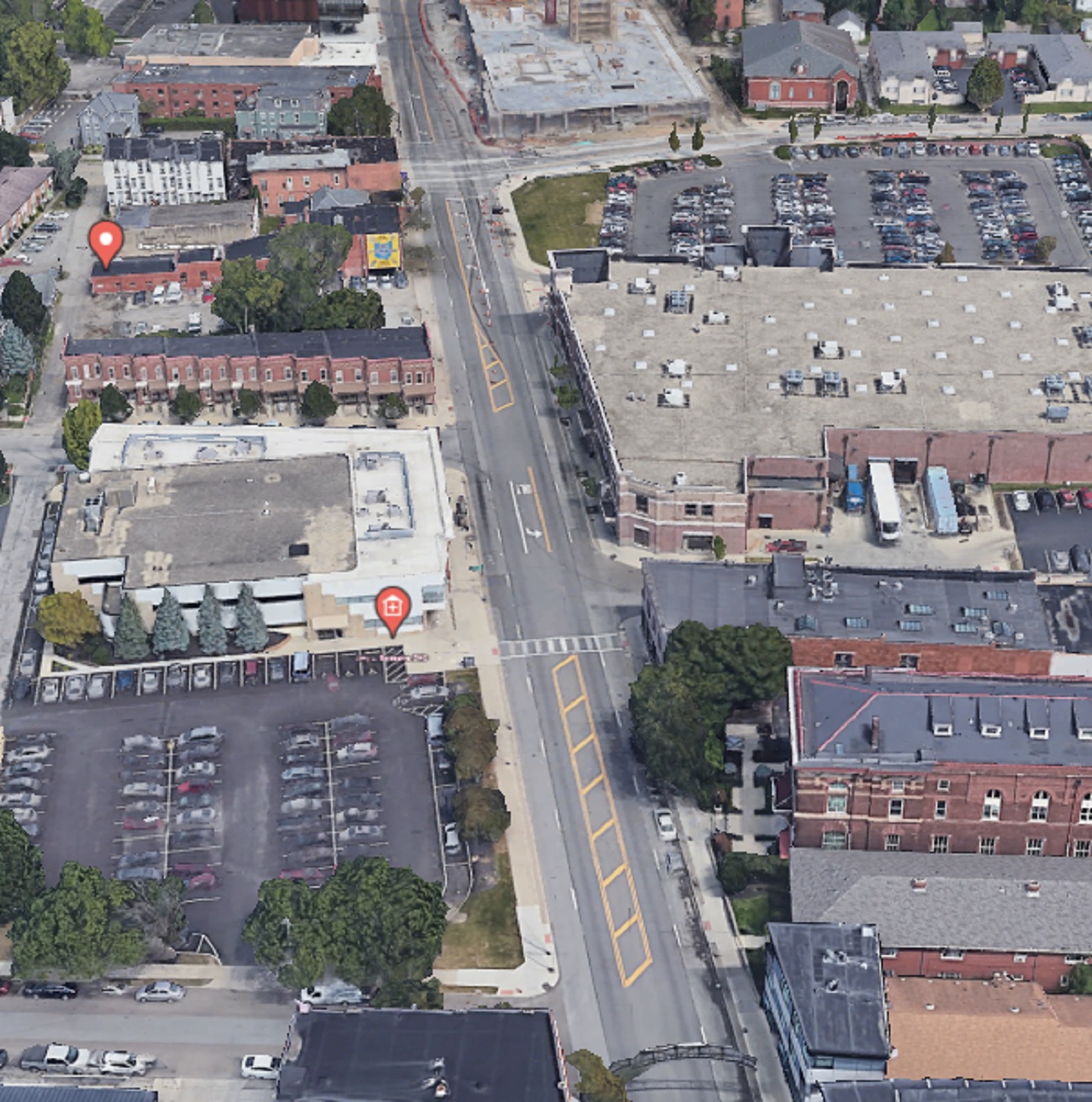
This collection of photos from the 1920s show the East Broad Street Boulevard. Modeled after European cities like Paris, the boulevard featured tree-lined medians that separated parked vehicles and a slower drive lane from the main traffic lanes. The boulevard, also known as the Broad Street Parkway, was in place for many years until it was ultimately removed beginning in 1932. The decision to remove the medians was to widen Broad to facilitate more car traffic.
Tag Archives: Historic photos
Before and After Goodale Expressway
This Before and After Goodale Expressway addition shows a bit of the Columbus highway system’s earliest construction projects.
Before: Around 1960
![]()
The image above is taken from the then under construction 3rd Street Viaduct overlooking construction of the Goodale Expressway. It is facing west towards High Street, with Italian Village on the right. Although this section did not require significant demolitions due to preexisting railroad tracks, one of the big casualties a bit further west was Flytown, an area along and north of Goodale Avenue west and south of Victorian Village.
The Goodale Expressway was one of the first sections of the Columbus highway system constructed, which is somewhat ironic given it would take more than 40 years to fully construct and be the last major highway completed. After decades of controversy, studies and false starts, the final stretch from 71 to the Rt. 62 interchange at 270 was completed in 2003.
After: 2021
![]()
While an unfortunate fence blocks the view, you can still see how drastically the landscaped has changed after more than 60 years.
Random Columbus Photos 10
In Random Columbus Photos 10, we look toward the East Side.
Photo Location: James Road, looking north from Livingston Avenue.
Photo Date: August 16, 1950
Photo History: This photo of a very primitive James Road was taken by the City in preparation for installing a sewer system in the area. There were very few homes and other buildings on James at the time, and the area was still mostly farmland. The homes on the left side of the photo had only just been completed, and were the first of large-scale, small-home subdivisions that now dominate this part of the city and neighboring Whitehall. By 1953, the entire area seen in the photo would be fully developed and unrecognizable.
![]()
The same view today:
![]()
Thousands of historic before and after photos from across the city can be found on the Historic Building Database.
Random Columbus Photos 8
Photo Location: West Broad Street at Grubb Street, looking east.
Photo Date: 1937
Photo History: Franklinton was bustling in this pre-WWII era-photo of Broad Street. It had been 24 years since the Great Flood, and the neighborhood was reaching for its historic population high along with the rest of the urban core. Unfortunately, within 2 decades, the neighborhood would be devastated by yet another flood and would be followed by 50 years of stagnation and decline.
![]()
Random Columbus Photos 6
A new Random Columbus Photos after a multi-year absence!
Photo Location: Aerial photo of North High Street between Smith Place and 7th Avenue.
Photo Date: Around 1985
Photo History: Located just north of the Short North and south of the OSU Campus, this part of High Street was often left out of revitalization and development efforts. By the 1980s, much of the urban fabric had already been torn down, leaving mostly parking lots and vacant lots, with only a smattering of buildings.
![]()
And the same view today.
![]()
The Kroger, while realigned and larger, still retains a large surface parking lot, as does the business across the street, but otherwise, the area is significantly more filled in than it was in the 1980s. That trend will continue with more- and larger- projects planned for the stretch.