A new Random Columbus Photos after a multi-year absence!
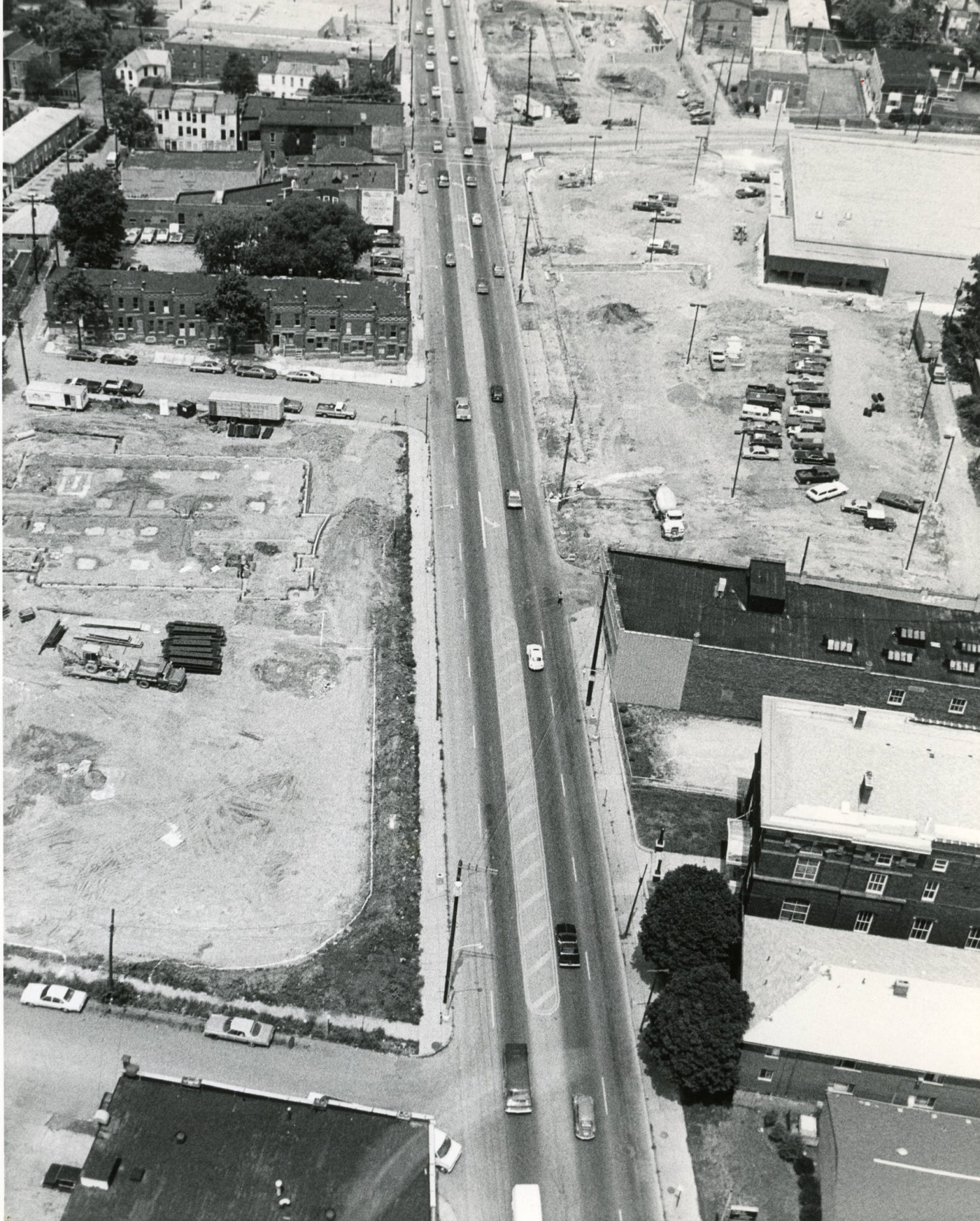
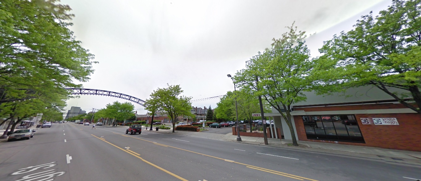
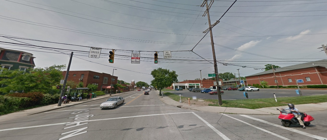
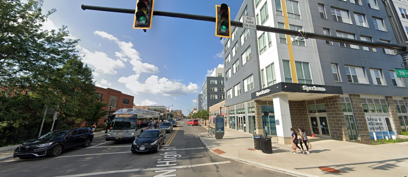
Photo Location: Aerial photo of North High Street between Smith Place and 7th Avenue. Photo Date: Around 1985 Photo History: Located just north of the Short North and south of the OSU Campus, this part of High Street was often left out of revitalization and development efforts. By the 1980s, much of the urban fabric had already been torn down, leaving mostly parking lots and vacant lots, with only a smattering of buildings.
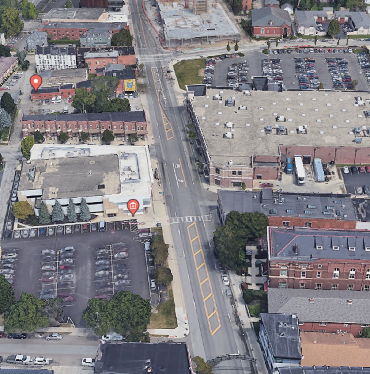
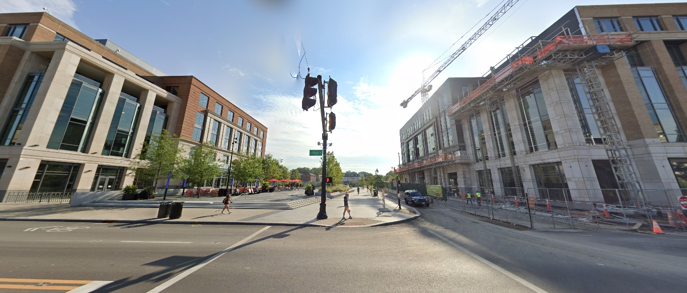
And the same view today. The Kroger, while realigned and larger, still retains a large surface parking lot, as does the business across the street, but otherwise, the area is significantly more filled in than it was in the 1980s. That trend will continue with more- and larger- projects planned for the stretch.
I received a massive positive response for the first version of this series, which was just a simple mashup of before and after photos of different parts of Columbus urban neighborhoods over the course of a decade. Because of that response, I have decided to do this How Columbus has changed in 10 years part 2 series. This time, besides adding more photos from core neighborhoods, I will expand the series out to other parts of the city and some suburbs, though still remaining within the 270 Outerbelt. In some ways, these before and after photos are even more drastic than the first set.
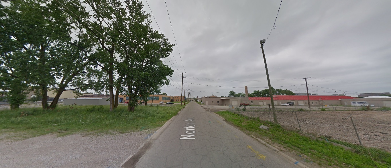
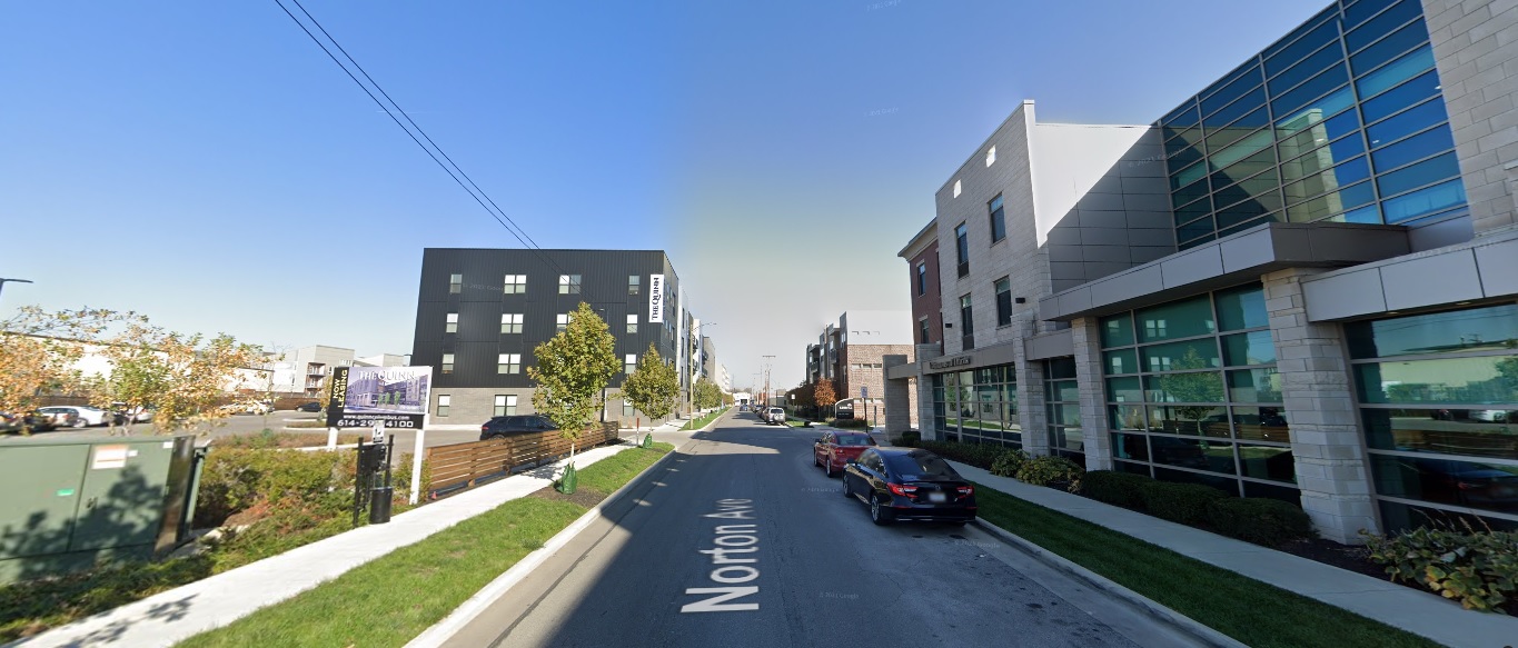
Downtown
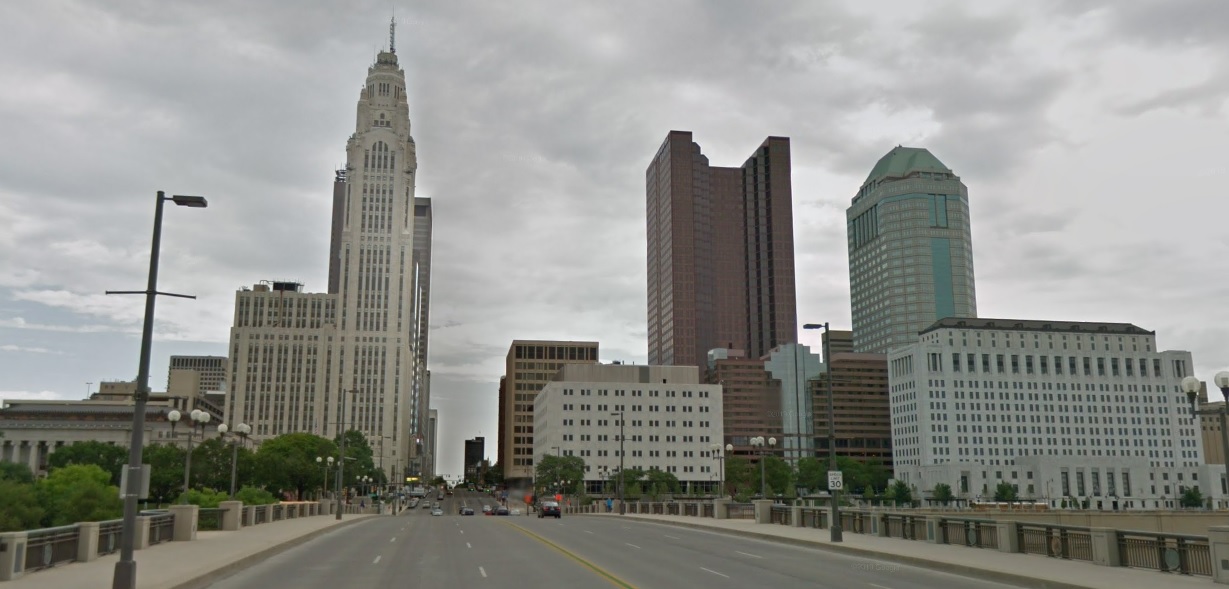
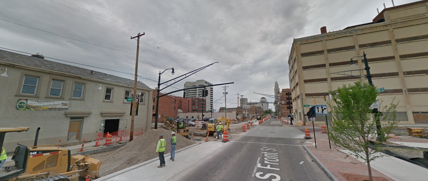
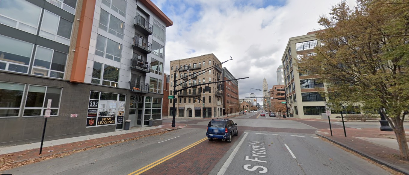
Front Street, looking north from Main Street. Before: 2011 After: 2021
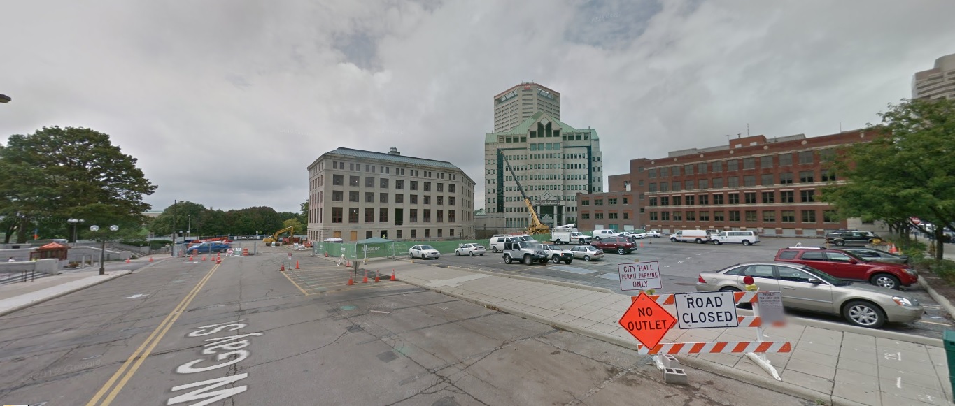
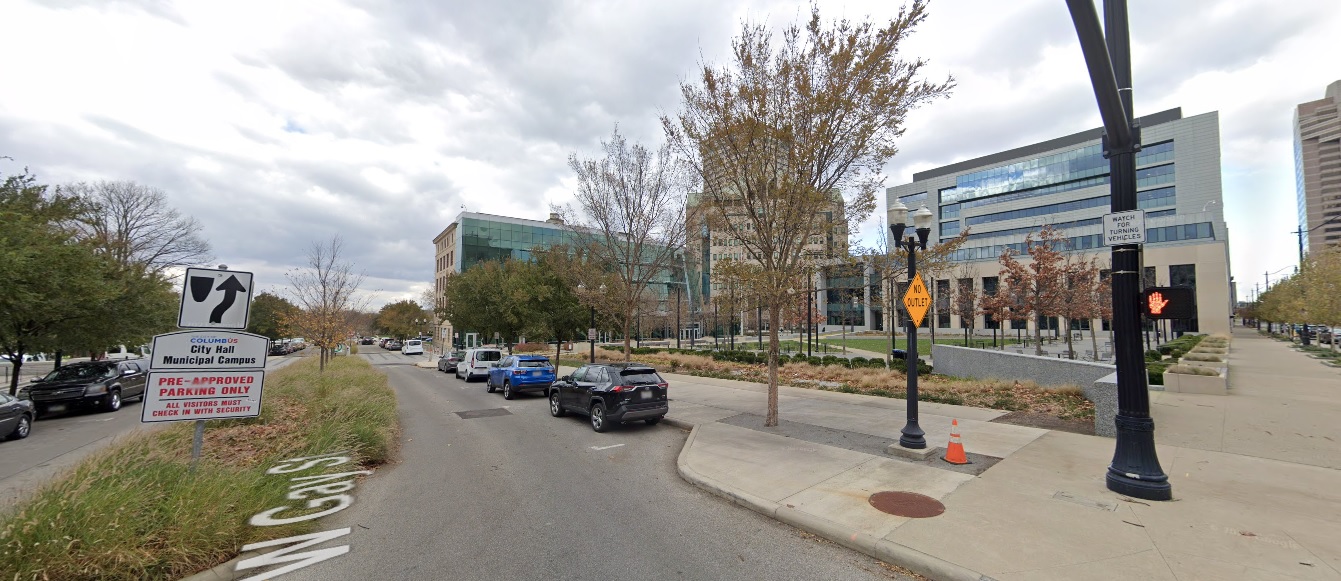
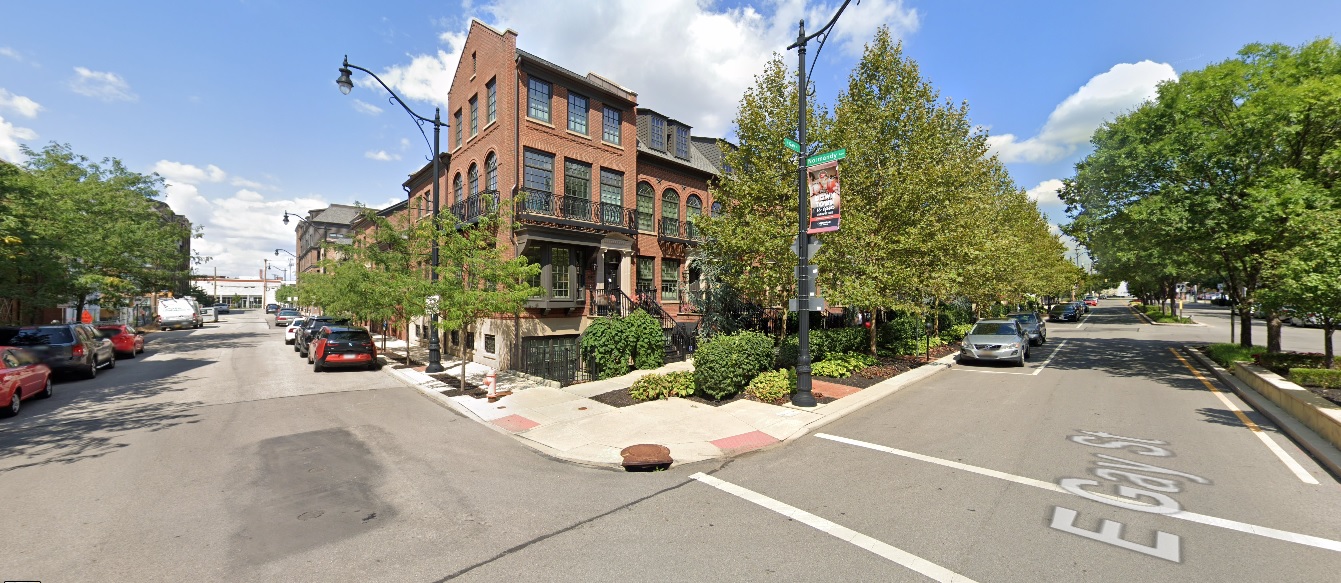
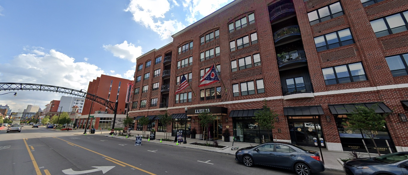
Gay Street, looking west from Front Street. Before: 2011 After: 2020
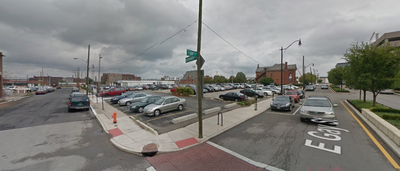
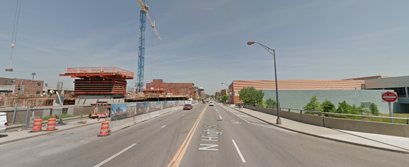
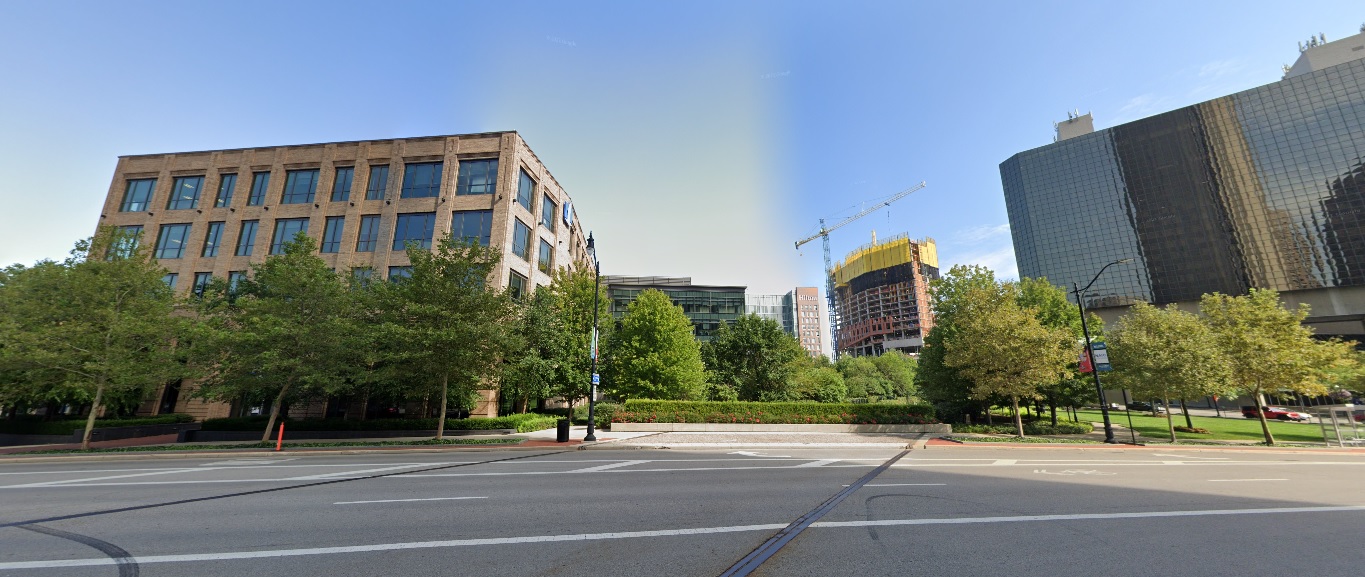
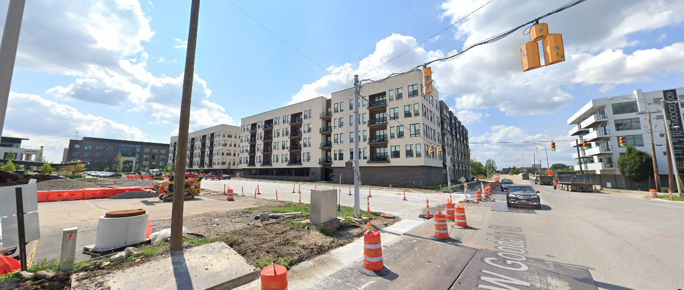
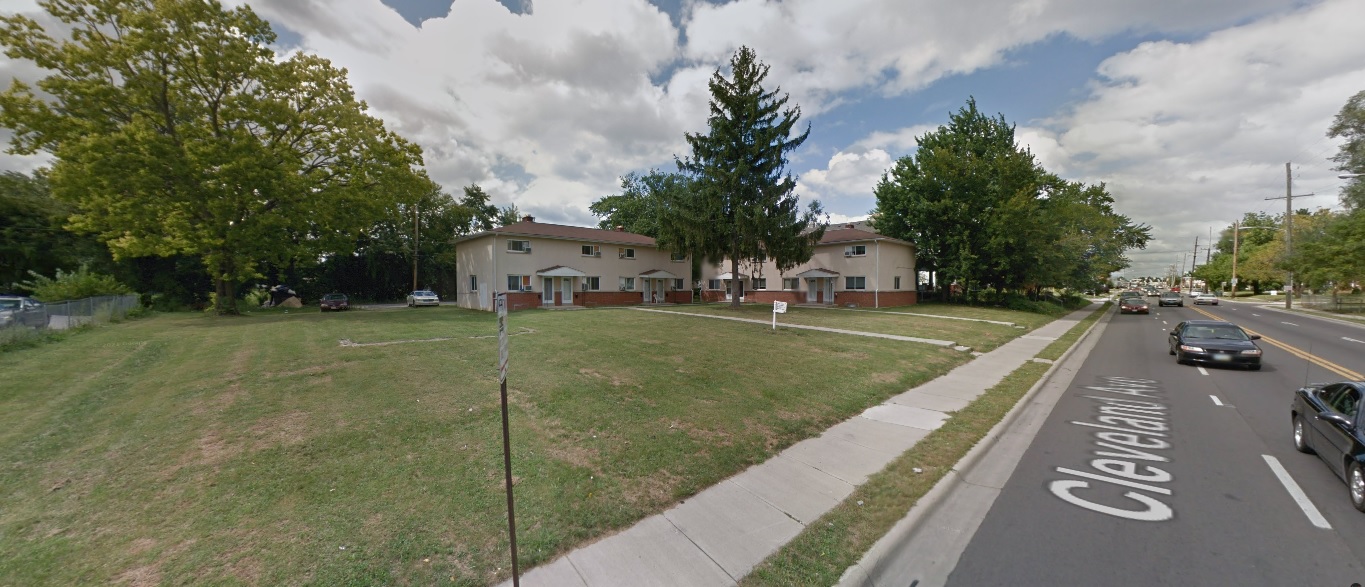
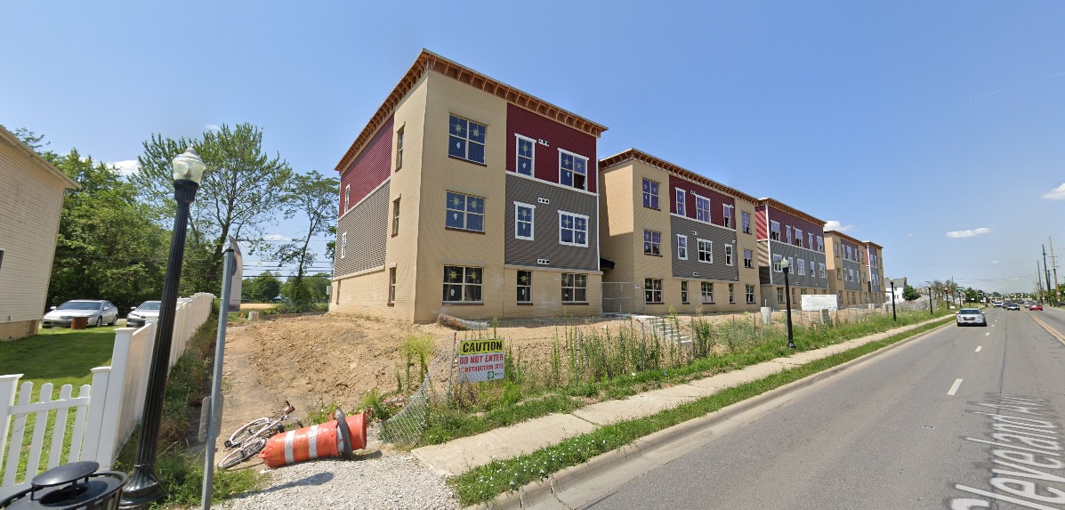
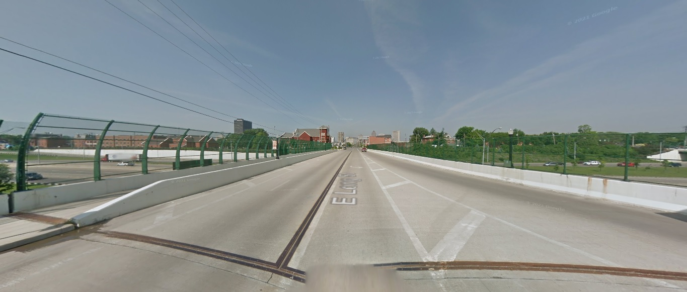
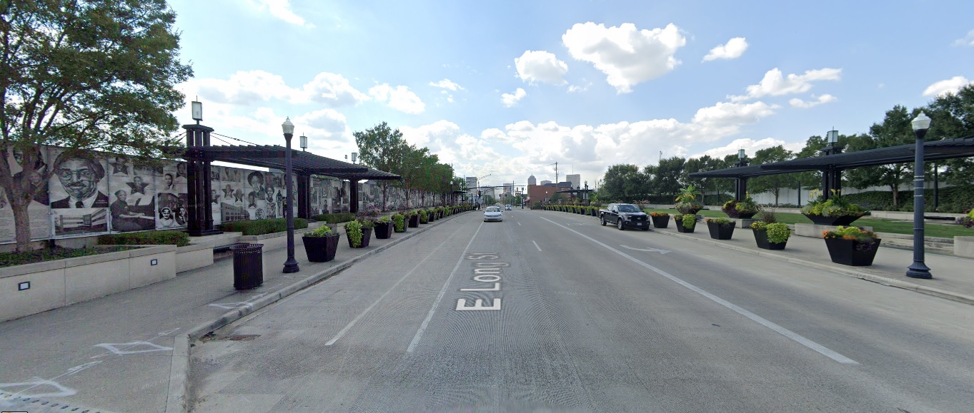
Long Street, looking west at I-71. Before: 2011 After: 2021
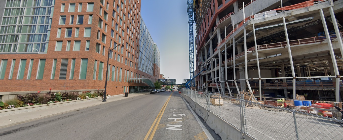
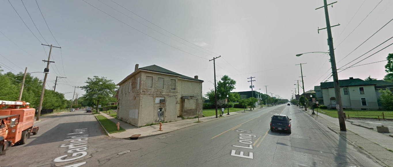
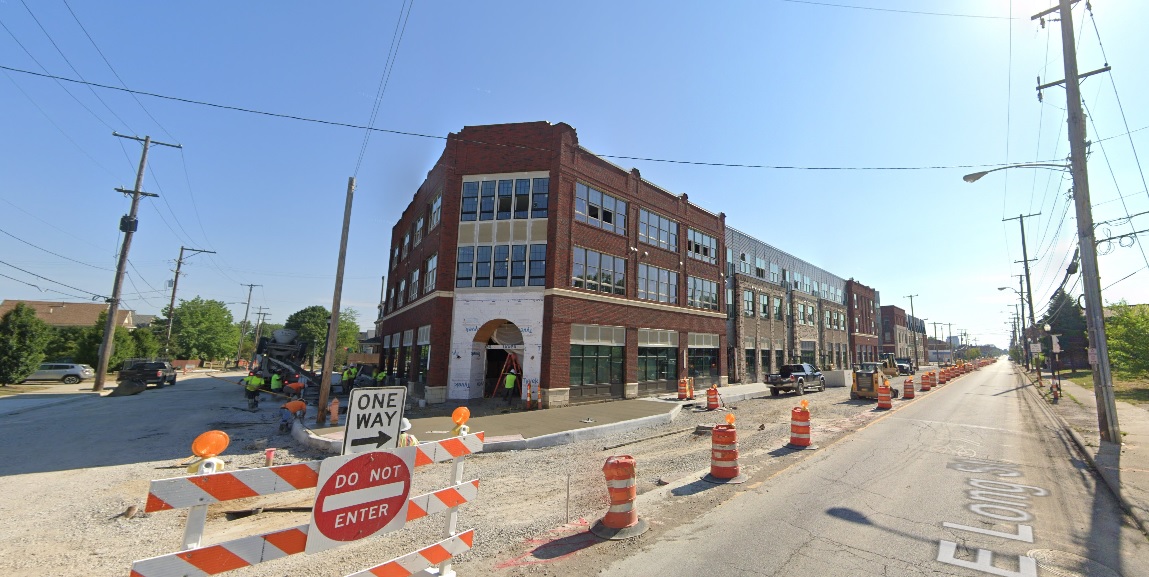
Long Street, looking northeast at Garfield Avenue. Before: 2011 After: 2021
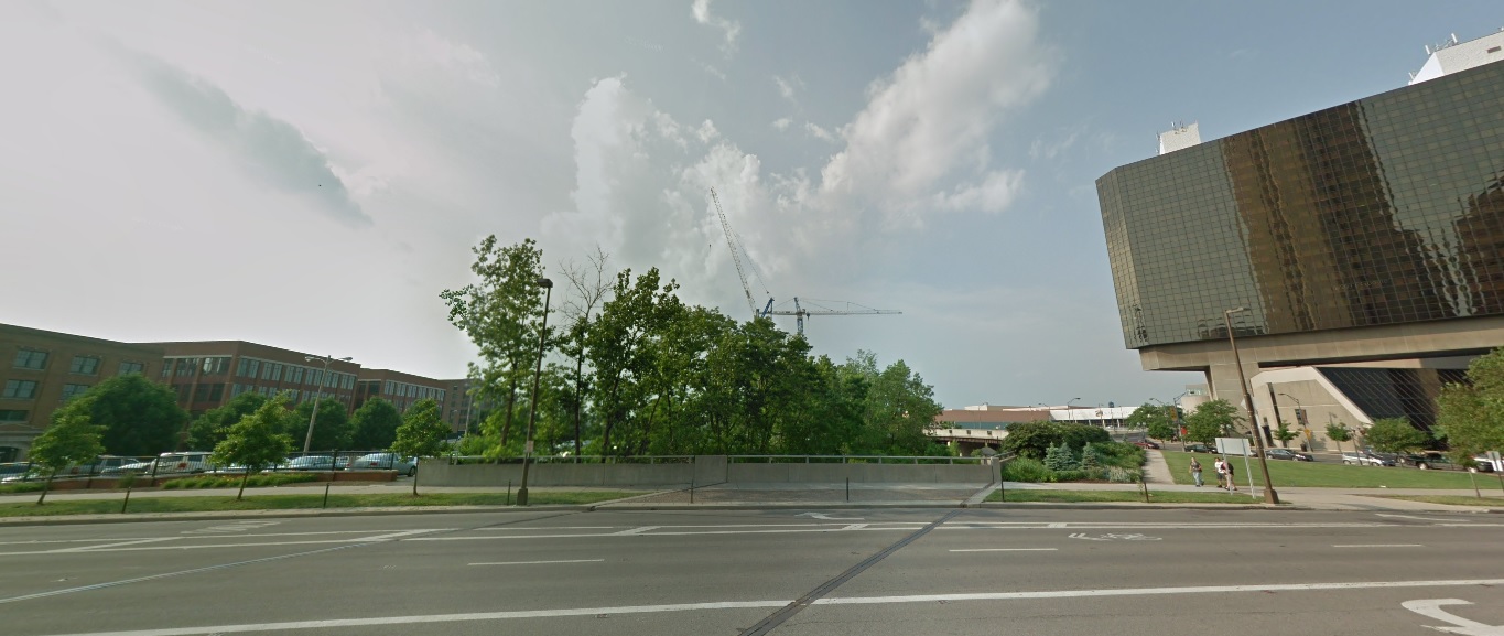
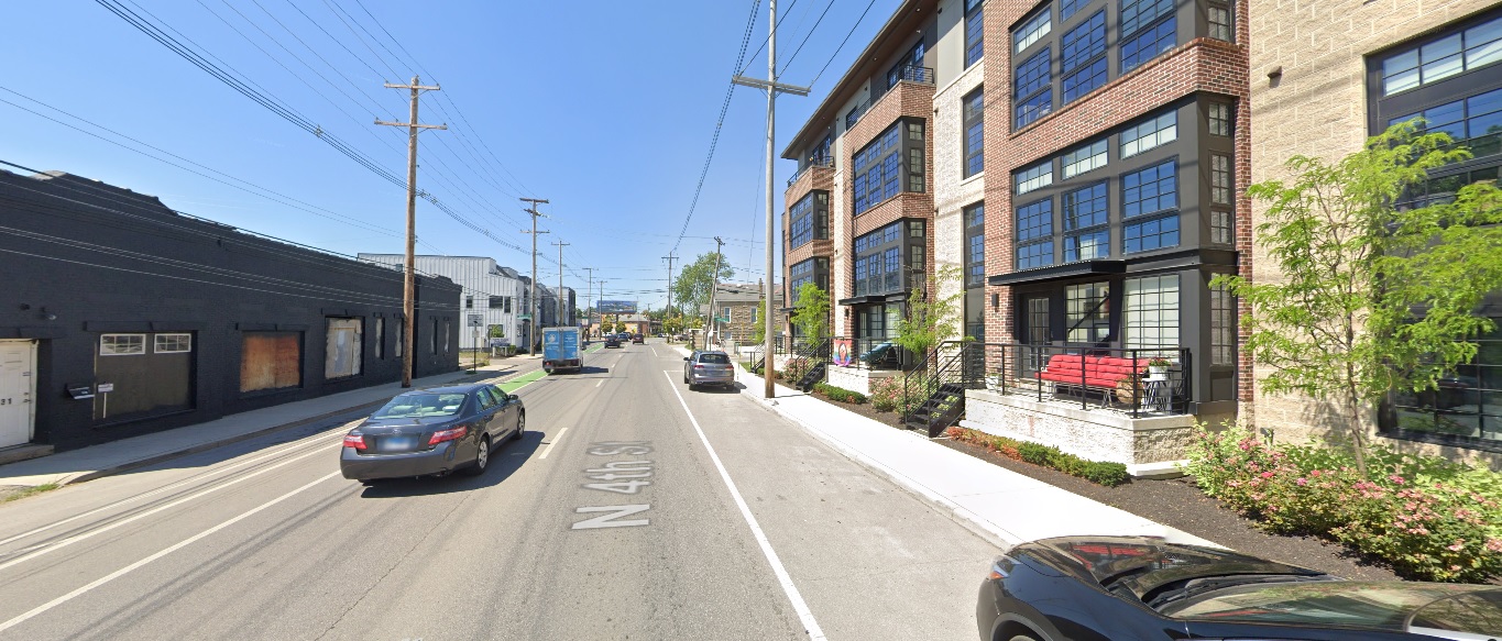
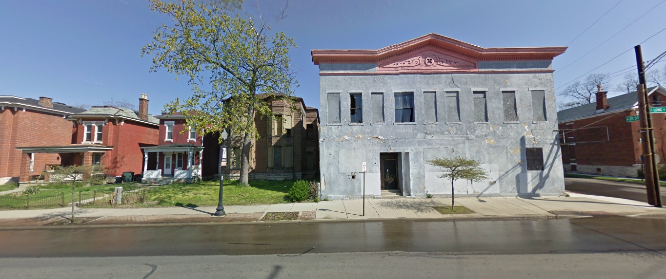
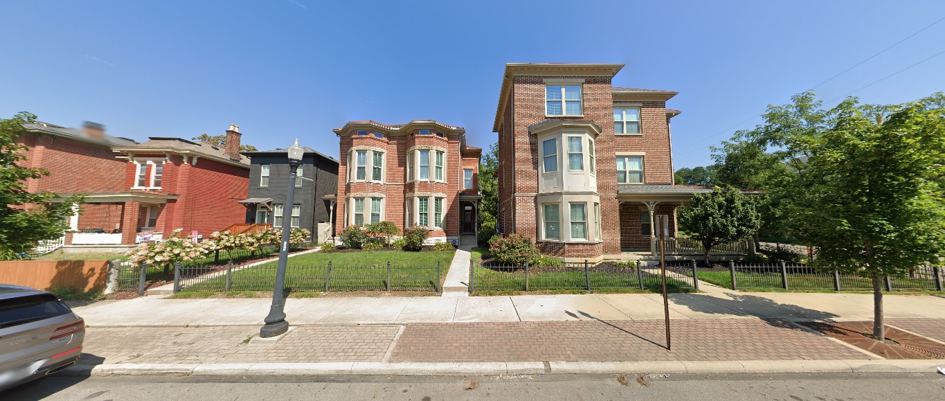
Long Street, looking north just west of 21st Street. Before: 2011 After: 2021
West Side
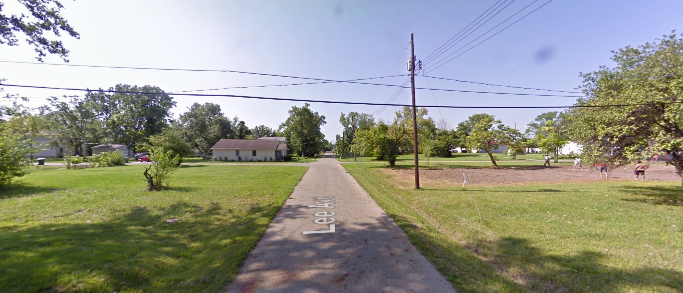
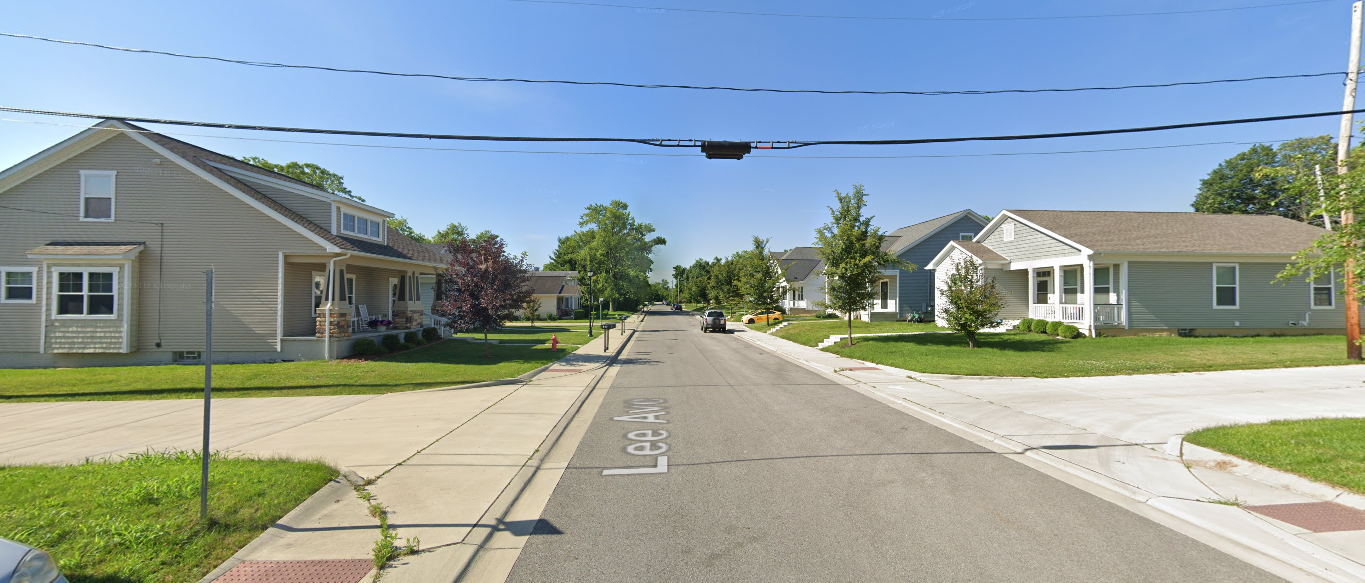
Georgesville Road, looking east south of Broad Street. Before: 2011 After: 2021
North Side
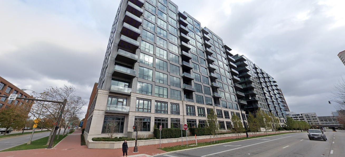
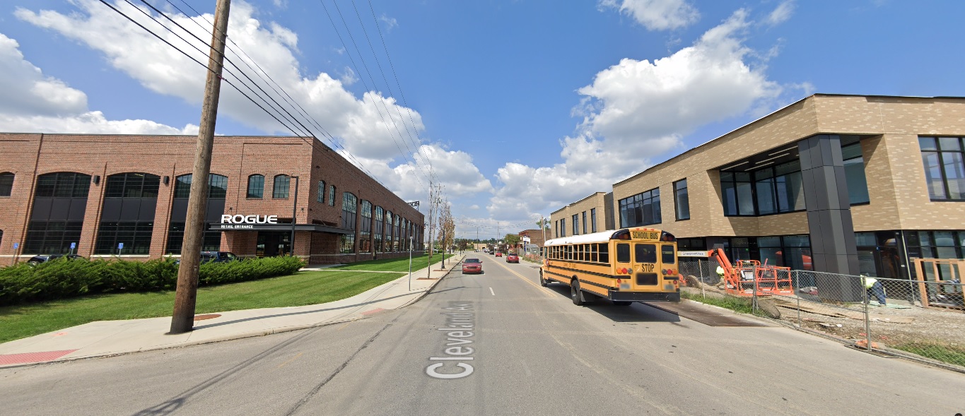
Wakeford Street, looking west from Olentangy River Road. Before: 2011 After: 2021
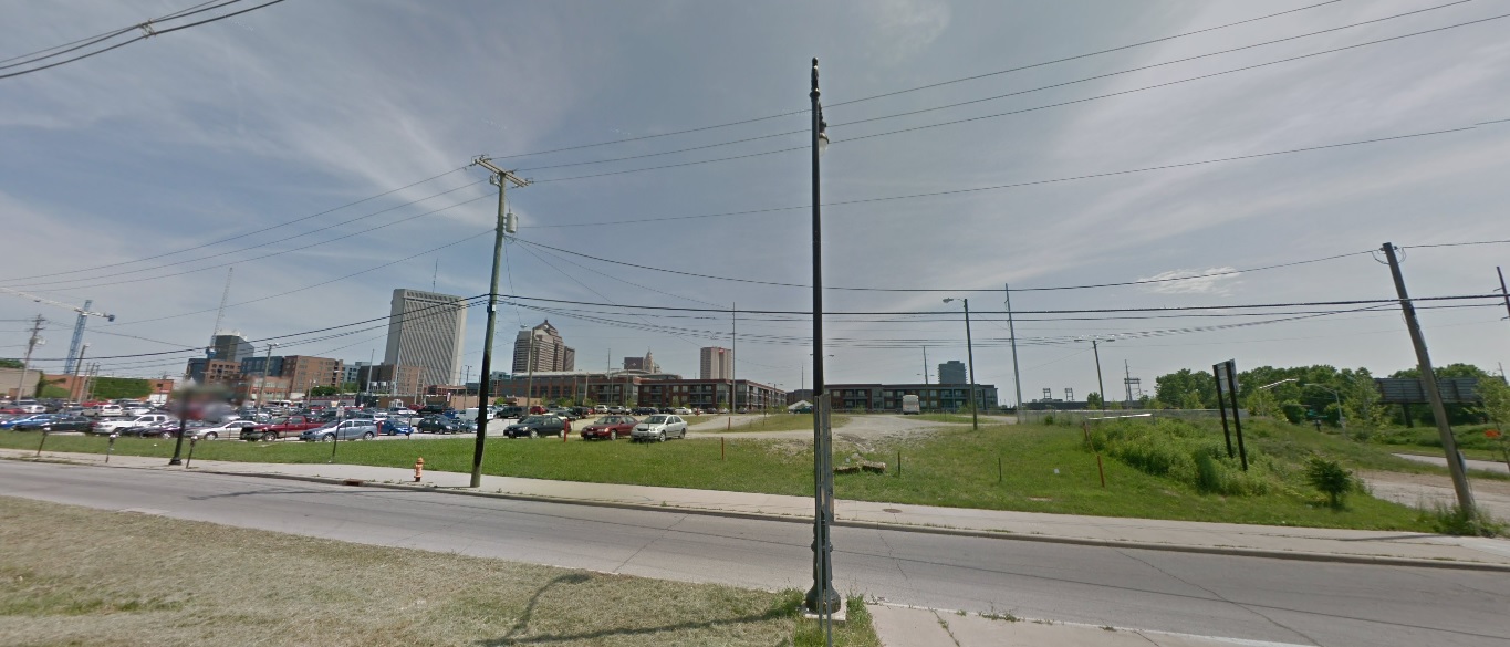
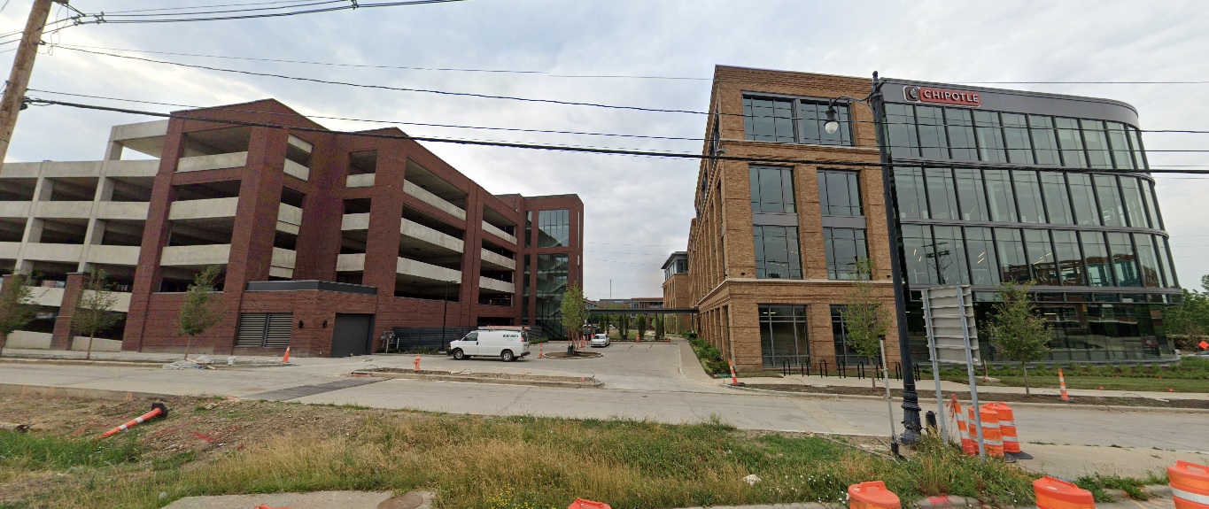
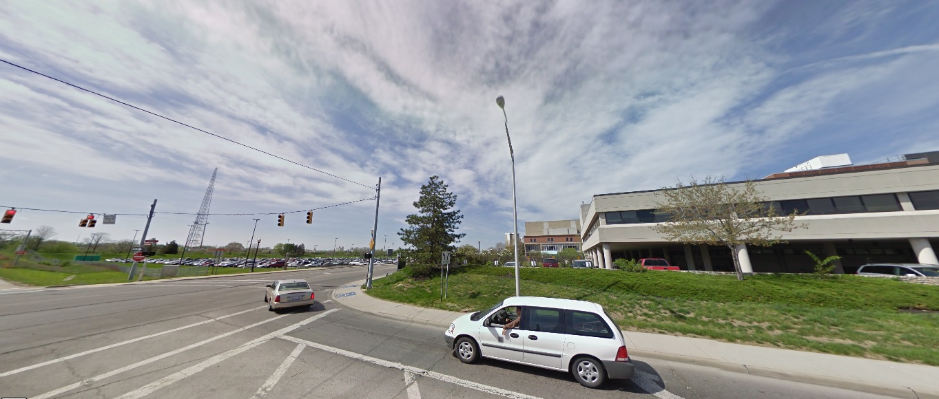
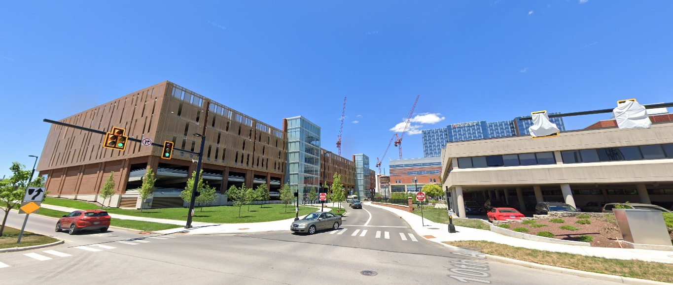
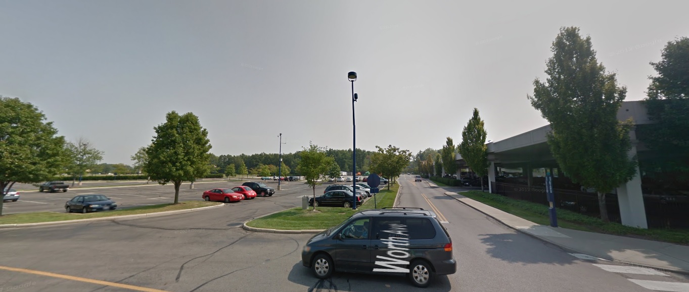
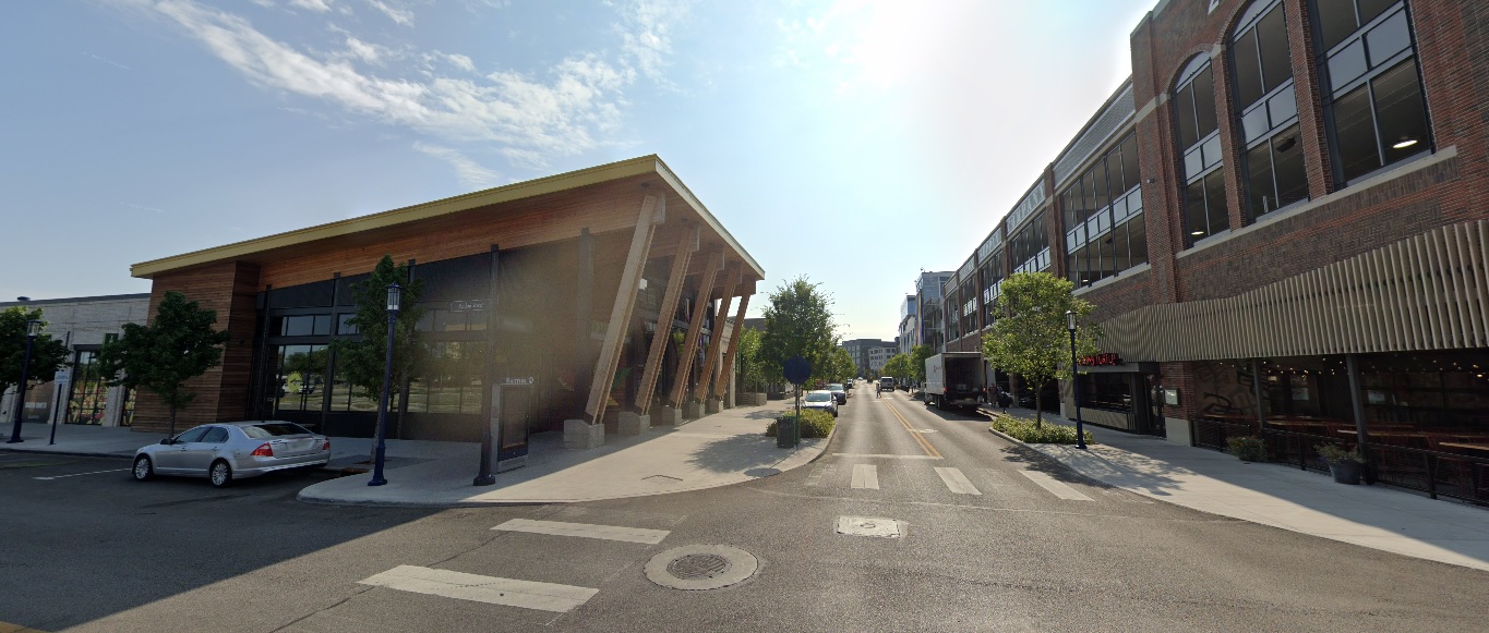
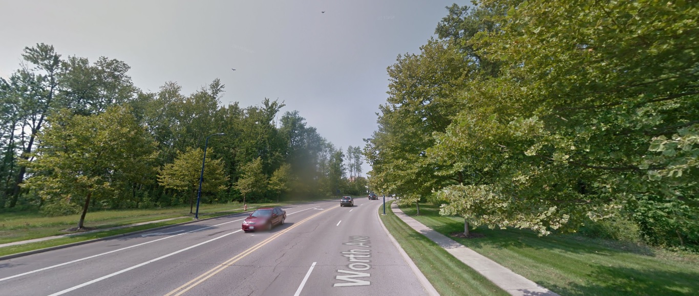
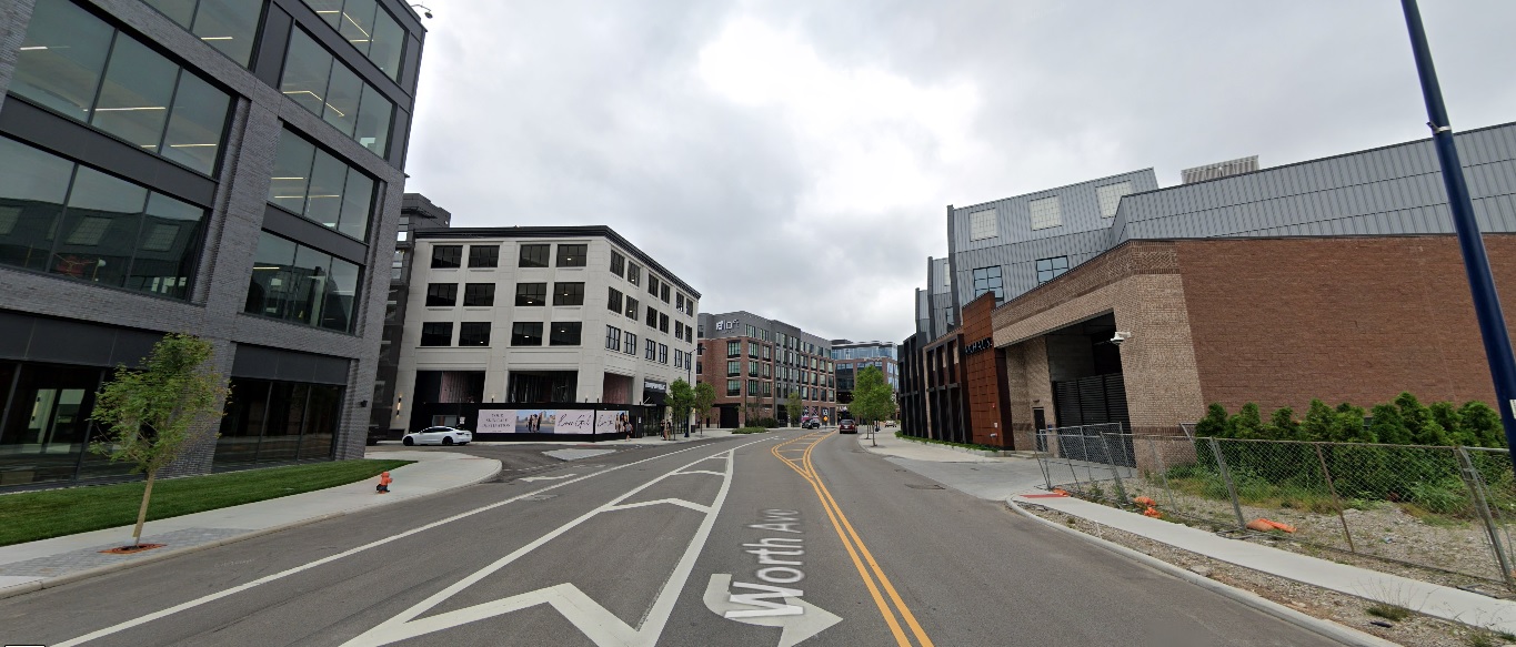
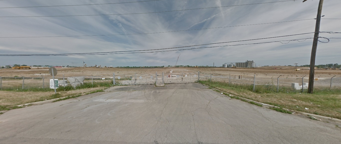
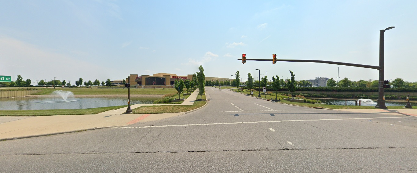
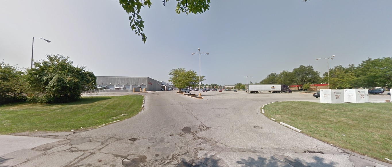
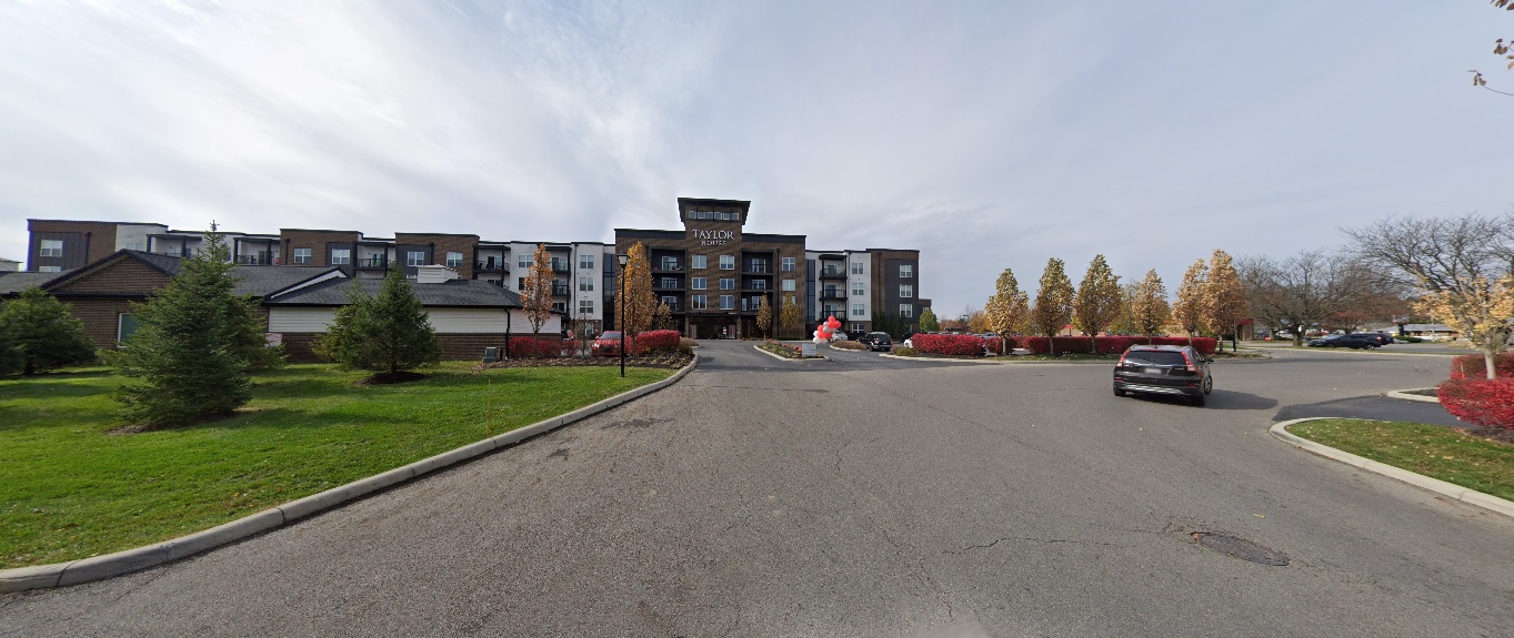
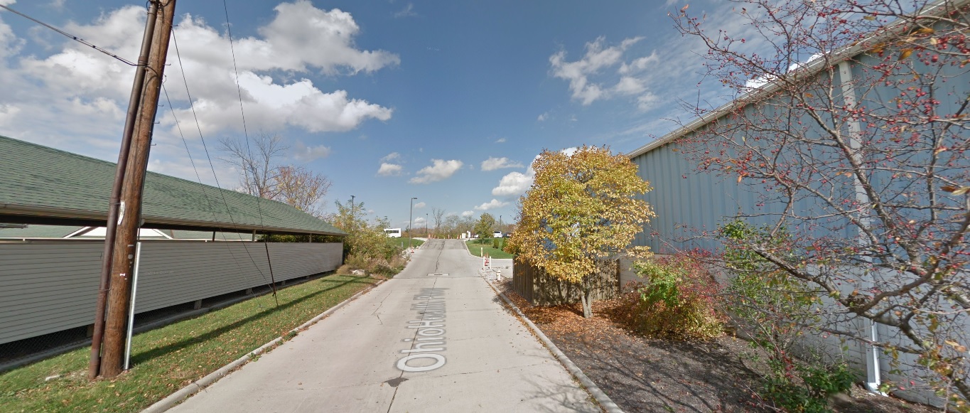
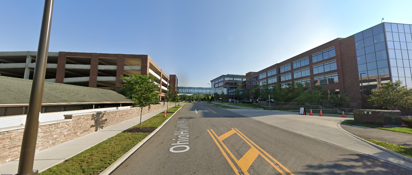
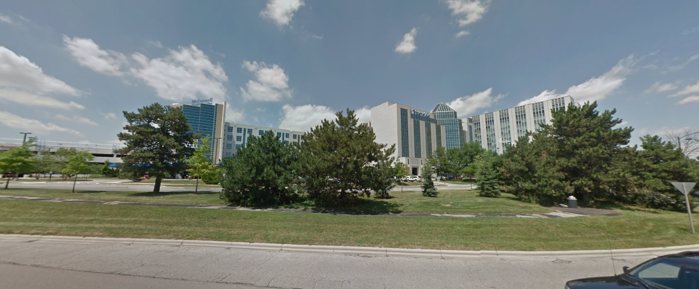
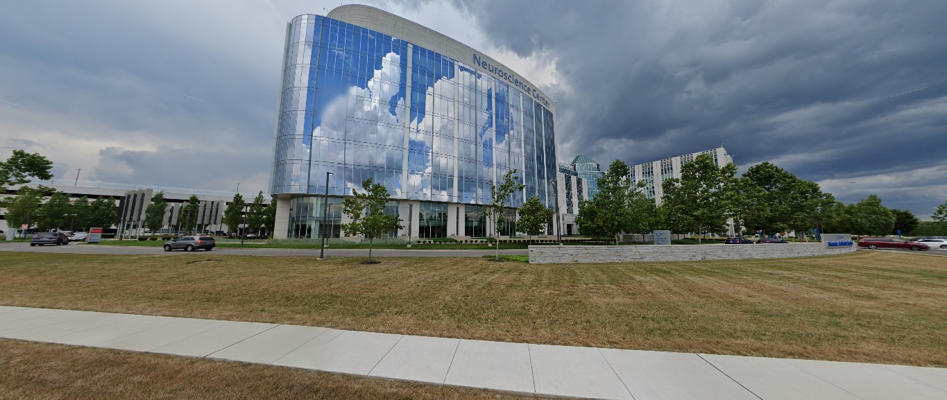
Ohio Health Parkway, looking north from Healthy Community Way. Before: 2015 After: 2021
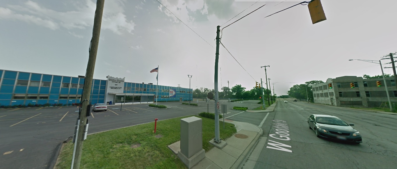
East North Broadway, looking north at 315. Before: 2011 After: 2021
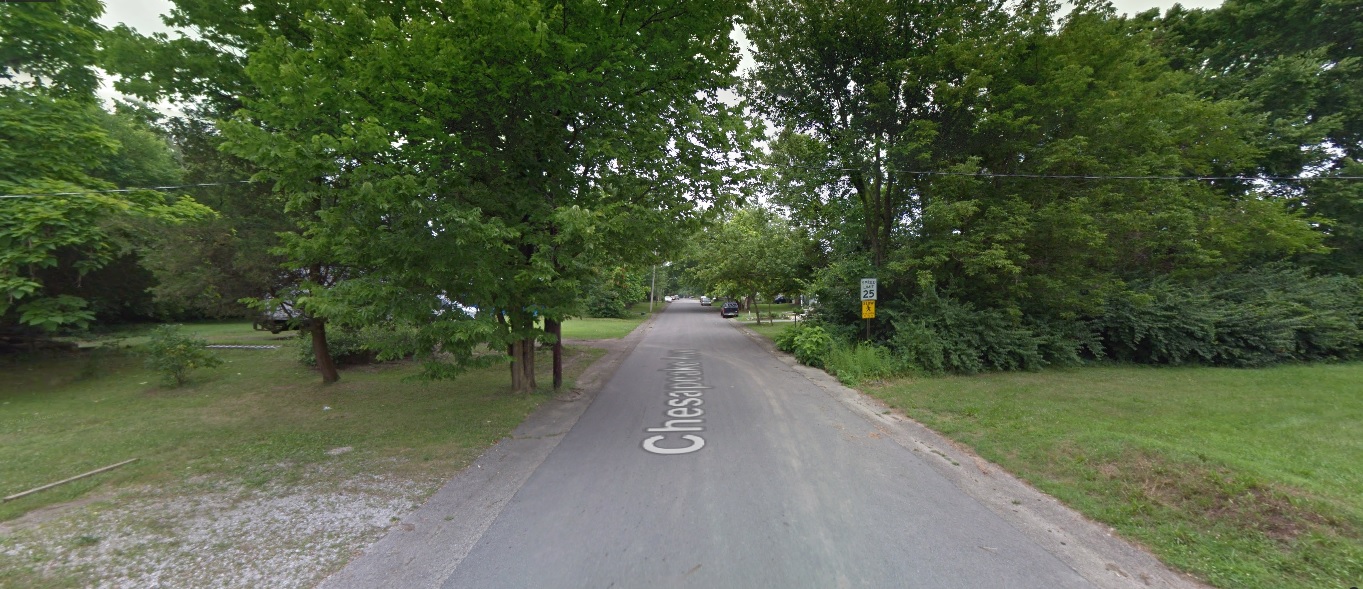
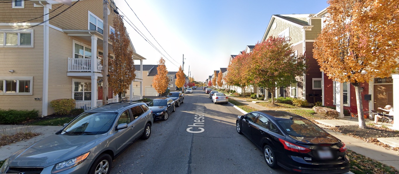
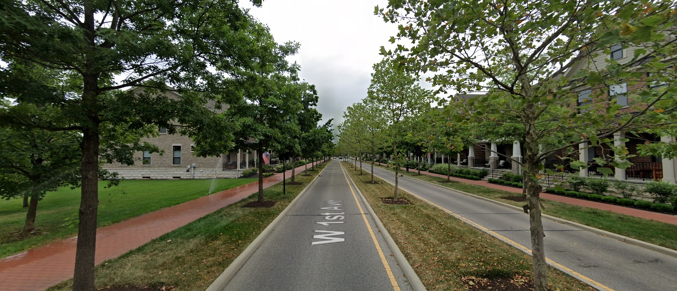
Grandview Heights
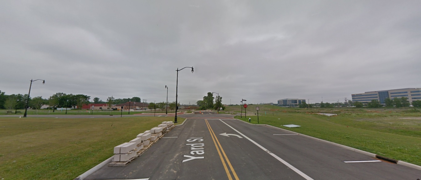
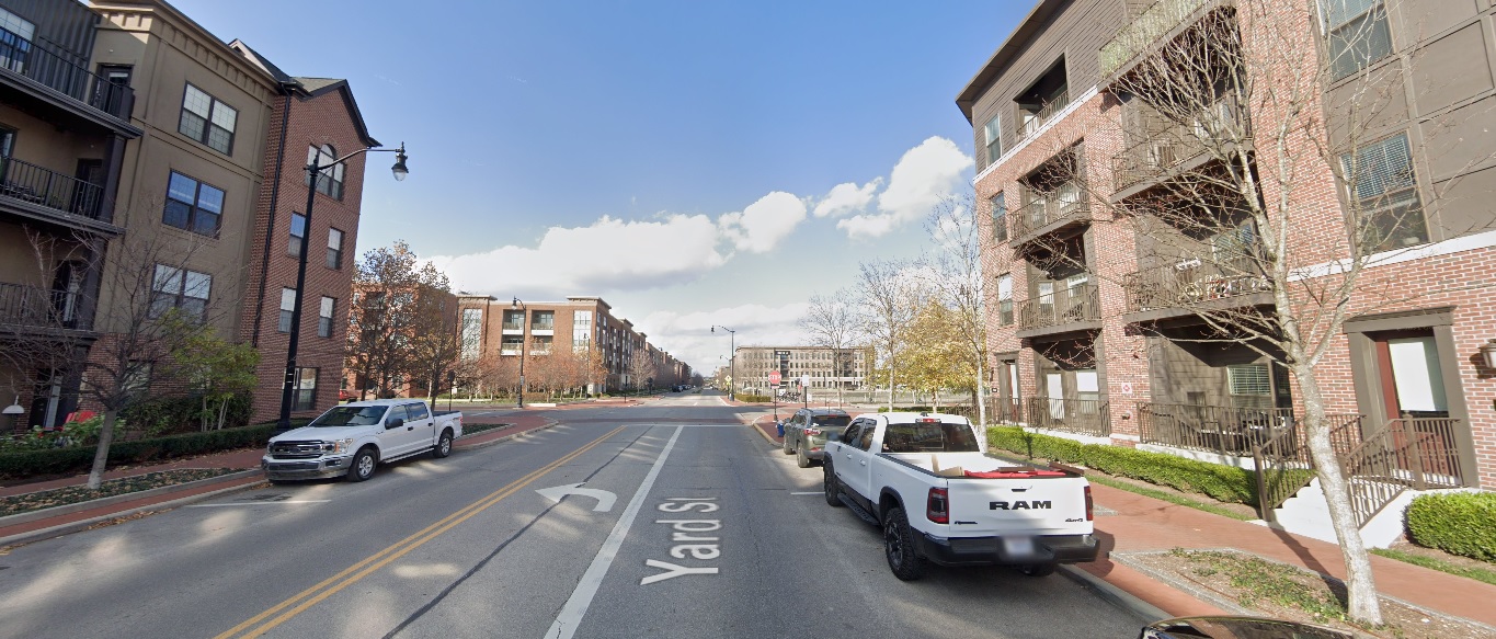
Yard Street, looking north from just south of Burr Avenue. Before: 2011 After: 2020
First Avenue, looking northeast at Edgehill Road. Before: 2012 After: 2021
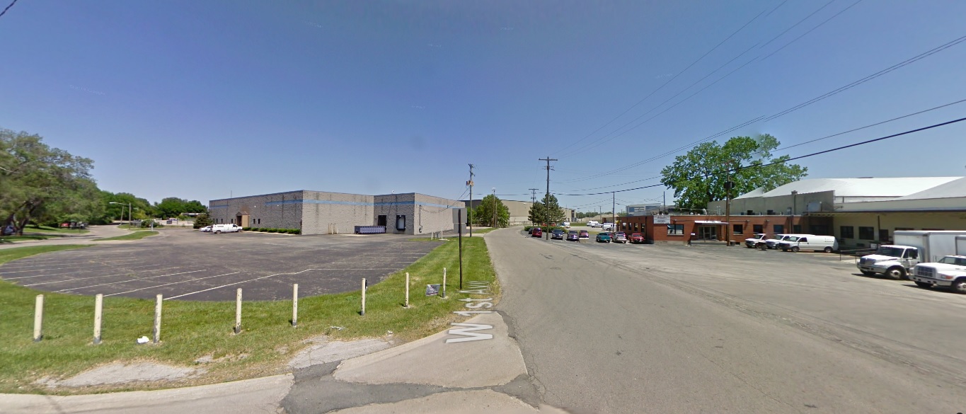
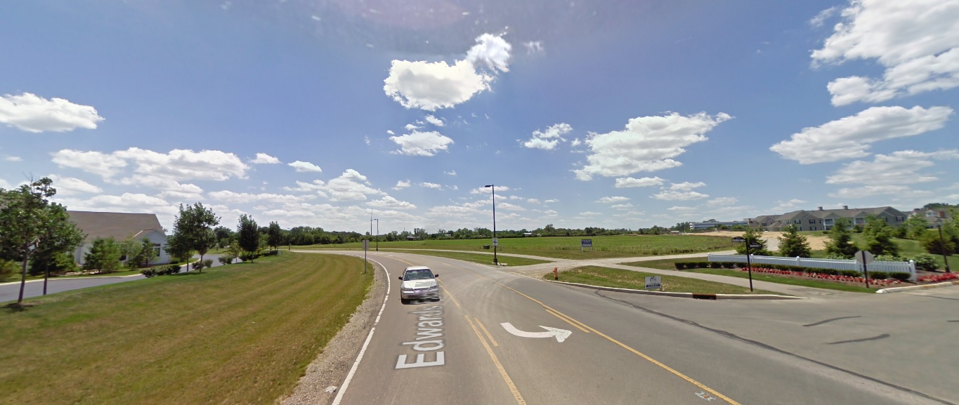
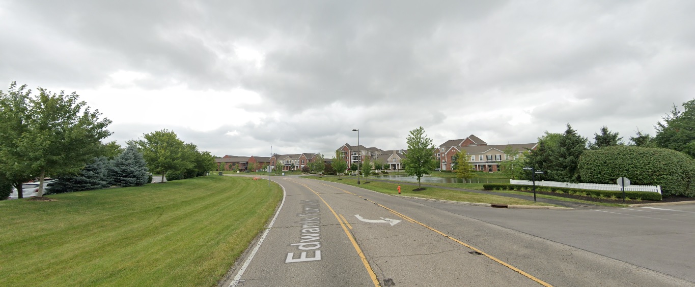
Dublin
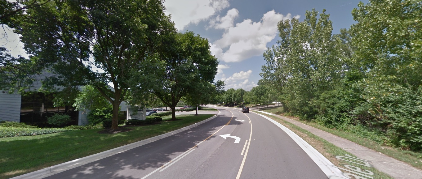
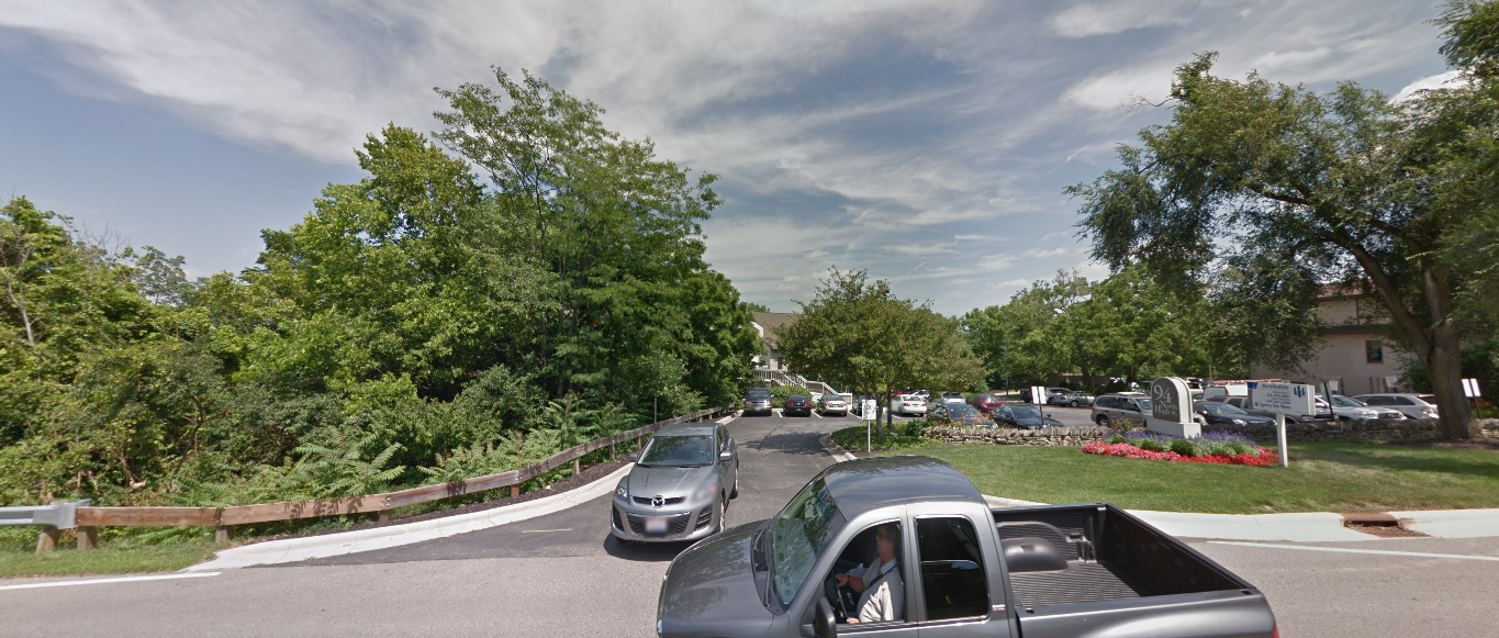
Edwards Farms Drive, looking south at Frawley Drive. Before: 2011 After: 2021
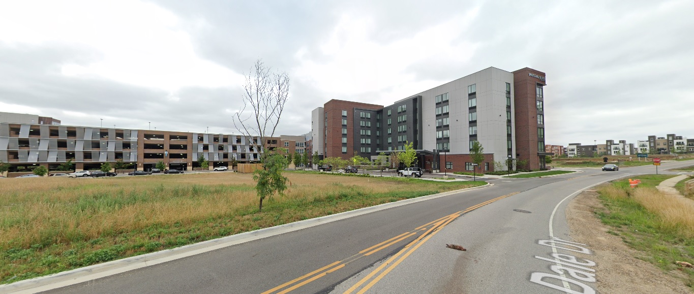
Dale Drive, looking northwest north of Banker Drive. Before: 2011 After: 2021
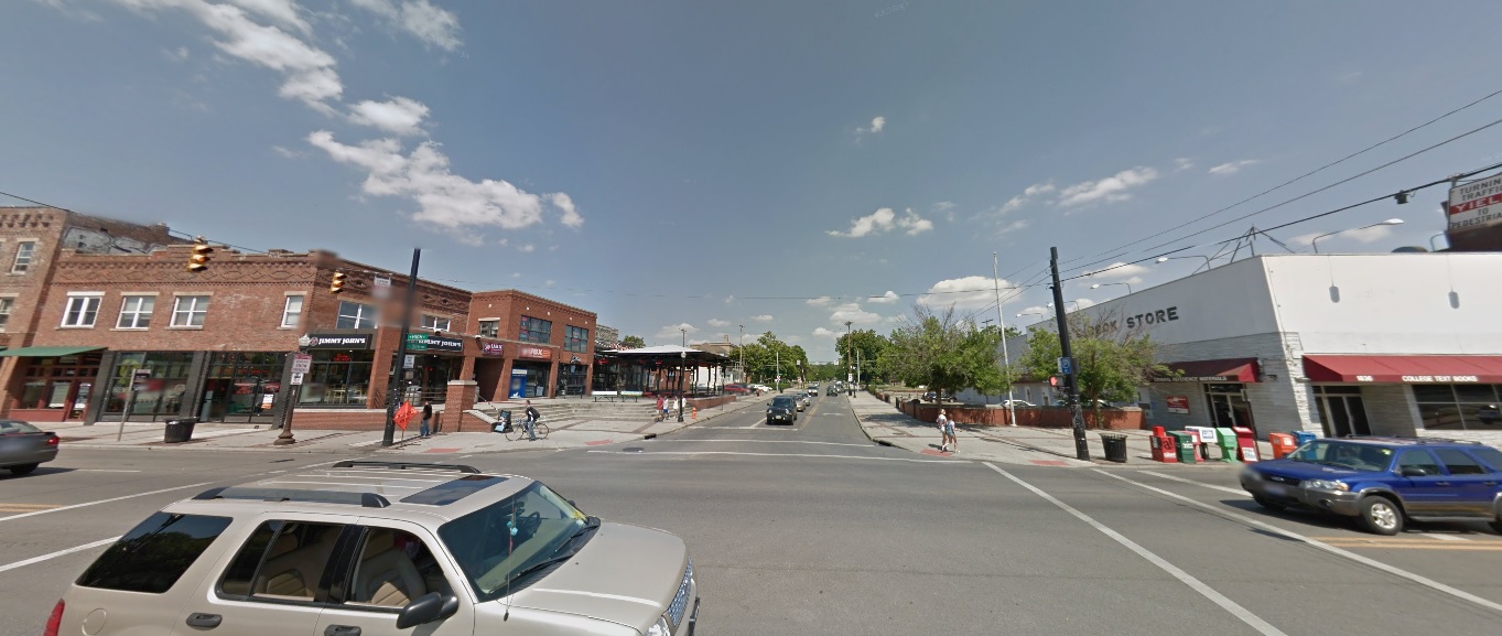
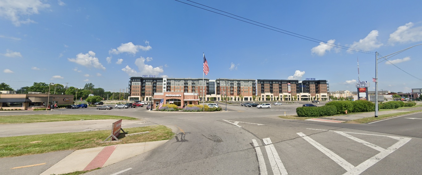
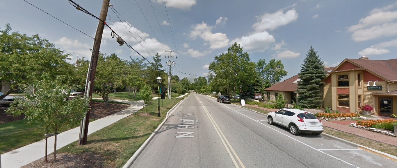
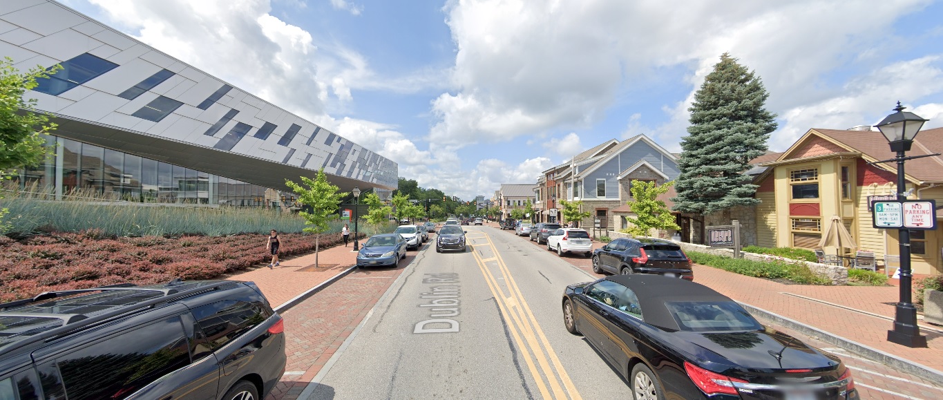
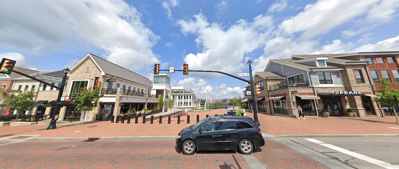
High Street, looking north from North Street. Before: 2011 After: 2021
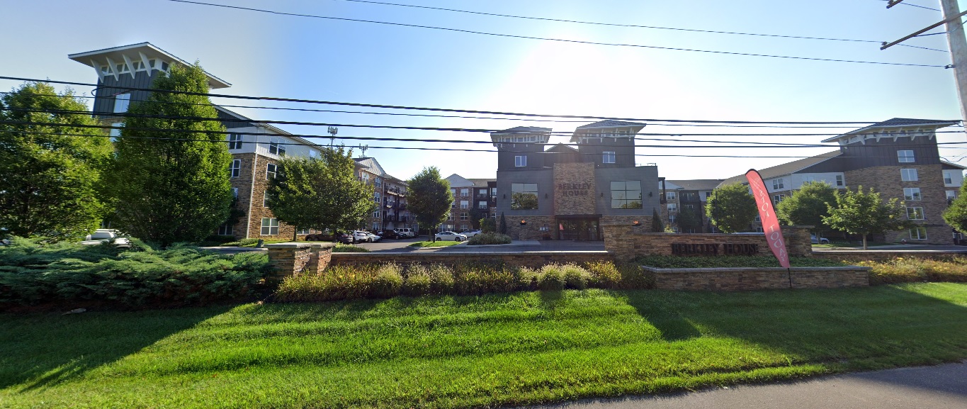
High Street, looking east at Rock Cress Parkway. Before: 2011 After: 2021
Upper Arlington
Riverside Drive, looking east just south of Bethel Road. Before: 2011 After: 2021
Bexley
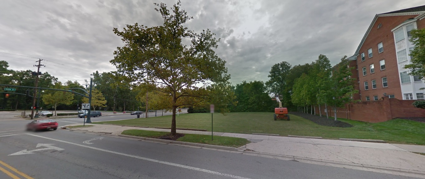
Parkview Avenue, looking southwest just north of Main Street. Before: 2011 After: 2021
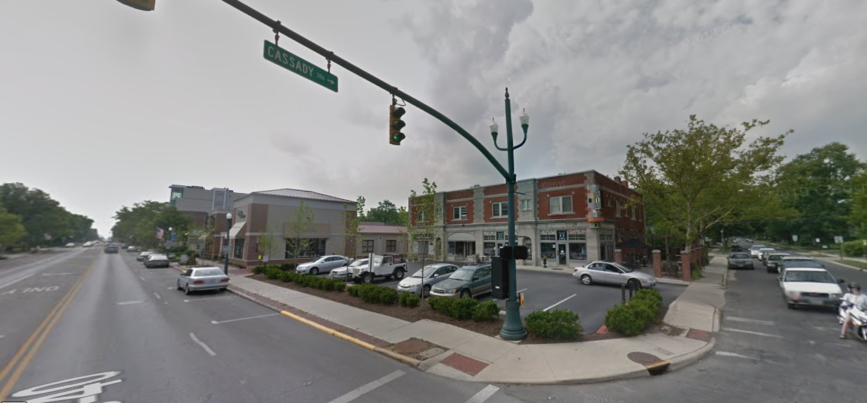
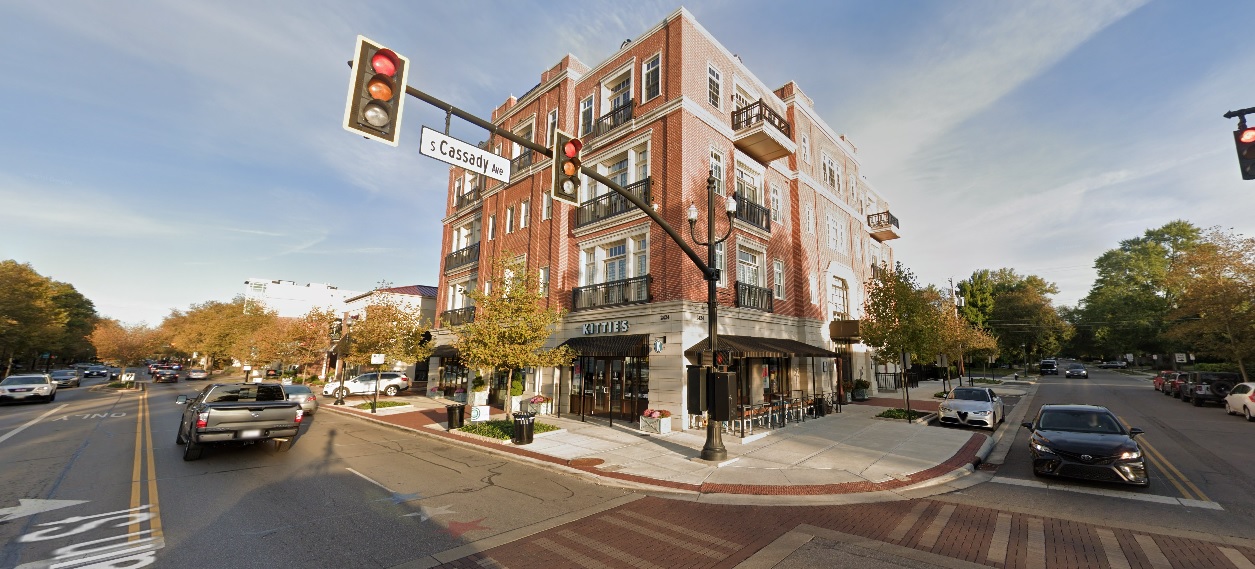
Main Street, looking northwest at Cassady Avenue. Before: 2011 After: 2021
As I stated in the previous installment, these photos still just represent a small fraction of the development and changes that have occurred across the city and its suburbs in the past decade. These are meant to be representative of those changes, not to suggest that other neighborhoods not featured didn’t change as well. Either way, enjoy!
This 2-part before and after series highlights many projects that have changed the landscape around the city. Many other projects that will continue to transform the area for the next decade and beyond are still in development or construction phases. A list of local area commissions provide monthly updates on potential new projects around the city.