Cool Link Zoning Change Focus Map

Zoning Change Focus Map

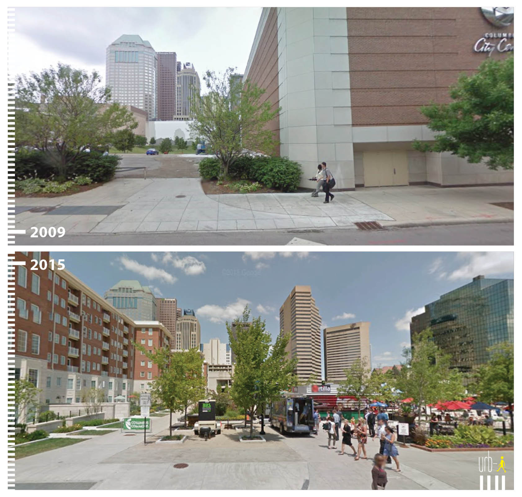
Columbus city officials have been working on updating zoning codes for more than a year. In many cases, the codes haven’t been updated since the 1960s or earlier, when priorities were significantly different than they are now. Developers wanting to build more density in neighborhoods and even along high-traffic corridors are often forced to go through lengthy and expensive variance requests. This raises costs for projects- and ultimately rents- and prevents the necessary density to address the long-standing housing shortage. The zoning change code map link below shows the initial areas that could see updates.

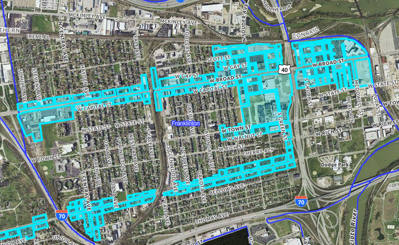
The focus areas of the update- at least in the first phase, are detailed on the following map:
Zoning Code Change Focus Areas

The first phase largely looks at the city’s main corridors. Later phases will look at updates in all neighborhoods. Although no specific changes have been confirmed as of yet, it’s possible that the city may do away with single-family exclusionary zoning. What this means is that, outside of historic areas, neighborhoods won’t be limited to single-family housing restrictions. Higher density projects, including doubles and multi-family projects, would be allowed in places where they are not essentially off-limits. Other changes may include reducing or eliminating parking minimums and significantly raising height restrictions.


Cool Link University District History

University district history

This link is a great repository of historic photographs of the Ohio State Campus area, including High Street and neighboring Weinland Park. There is also a lot of historical information on events, restaurants, buildings and a lot more.

University District History


Cool Link Columbus City Schools Covid Tracker


Columbus City Schools Covid tracker

With the Omicron variant running rampant, Columbus schools are facing significant absences from both students and staff. Keep track of this data with this hand link, which ranks the best and worst schools for absences, shows how many cases are being reported, quarantine data and more.

Columbus Schools Covid Tracker

Cool Link: Old Maps Search Engine


Old maps search engine

This link is a great resource to find old local maps for cities, counties and states from the US to around the world. For Columbus, maps go back to the 1920s, but other locations have even older versions. The maps are helpful for those doing research on this history of their cities.

Old Maps Online

Another favorite link is the Sanborn Fire Insurance Maps. These maps are even more detailed and you can view individual buildings down to the street level back to the 19th Century. These maps are available at the Library of Congress and require a bit more searching to find what you’re looking for.

Sanborn Maps

An 1891 Sanborn map of the Short North.


Cool Link of the Day: Urb-I Urban Ideas

I saw this site mentioned on the CityLab site awhile back and thought it was a very cool idea. The site highlights how cities are transforming public spaces and making car-centric areas much more pedestrian, bike and transit friendly. Since I found the site, I have been lucky enough to become a regular contributor working to help make the site even better. The great thing is that anyone can send in before and after photos from their own cities of public space transformations. Take a look: http://www.urb-i.com/ The site covers cities across the world.

Columbus has several examples that I have added, but the photos are not yet updated on the site’s map. Until they are, here is a sneak peek:

Civic Center Drive
Urb-I Urban Ideas

West Town Street

Columbus Commons