A new Random Columbus Photos after a multi-year absence!
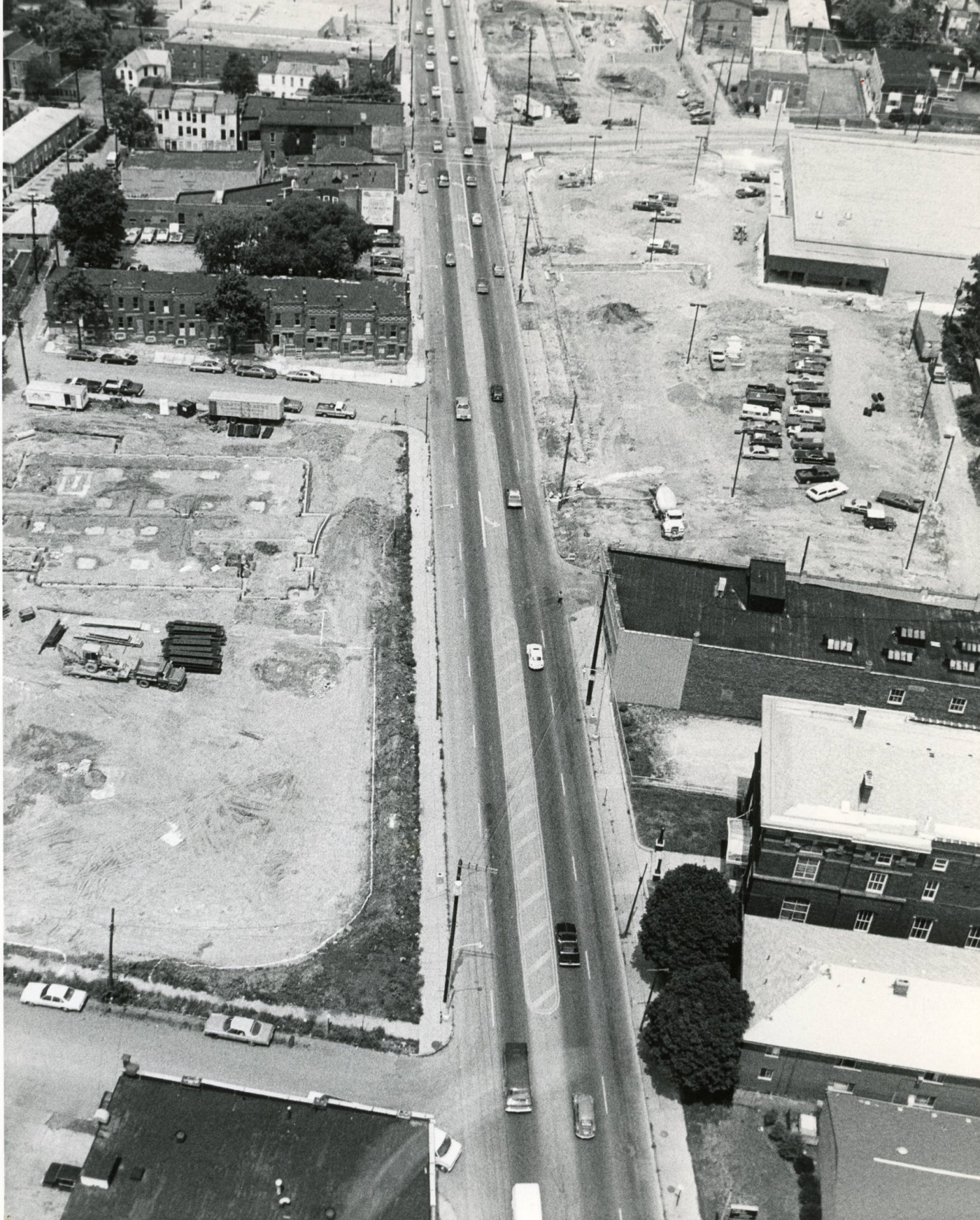
Photo Location: Aerial photo of North High Street between Smith Place and 7th Avenue. Photo Date: Around 1985 Photo History: Located just north of the Short North and south of the OSU Campus, this part of High Street was often left out of revitalization and development efforts. By the 1980s, much of the urban fabric had already been torn down, leaving mostly parking lots and vacant lots, with only a smattering of buildings.
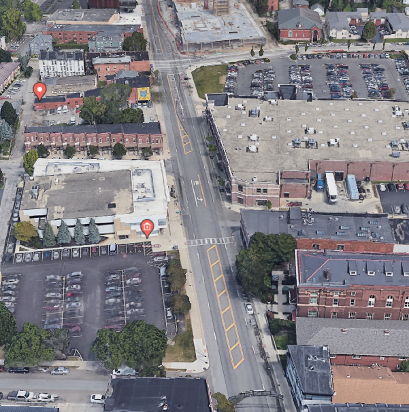
And the same view today. The Kroger, while realigned and larger, still retains a large surface parking lot, as does the business across the street, but otherwise, the area is significantly more filled in than it was in the 1980s. That trend will continue with more- and larger- projects planned for the stretch.
I received a massive positive response for the first version of this series, which was just a simple mashup of before and after photos of different parts of Columbus urban neighborhoods over the course of a decade. Because of that response, I have decided to do this How Columbus has changed in 10 years part 2 series. This time, besides adding more photos from core neighborhoods, I will expand the series out to other parts of the city and some suburbs, though still remaining within the 270 Outerbelt. In some ways, these before and after photos are even more drastic than the first set.
Downtown
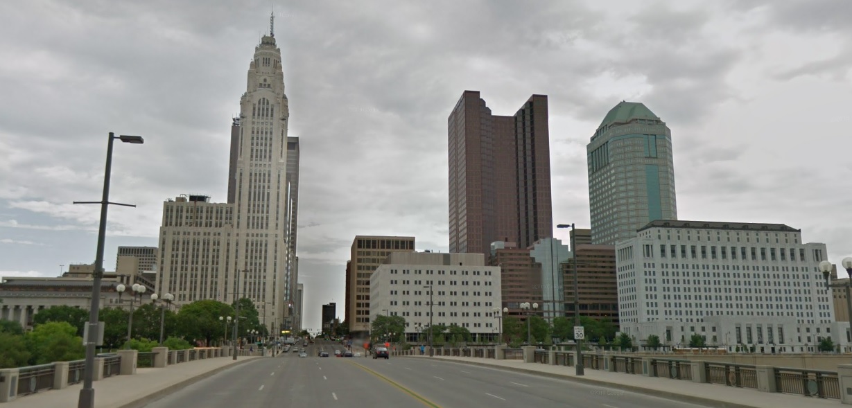
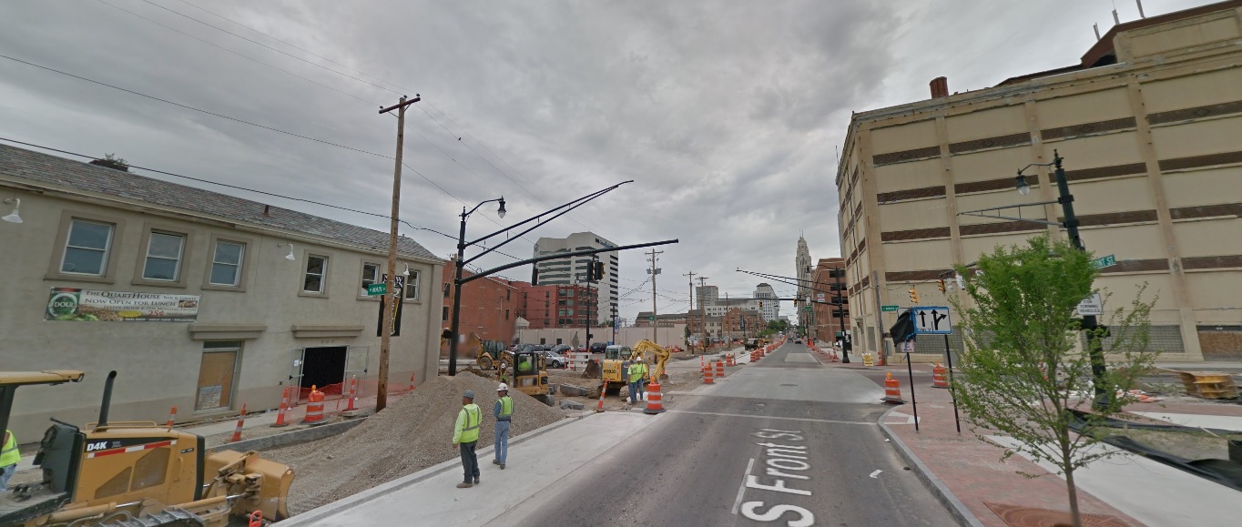
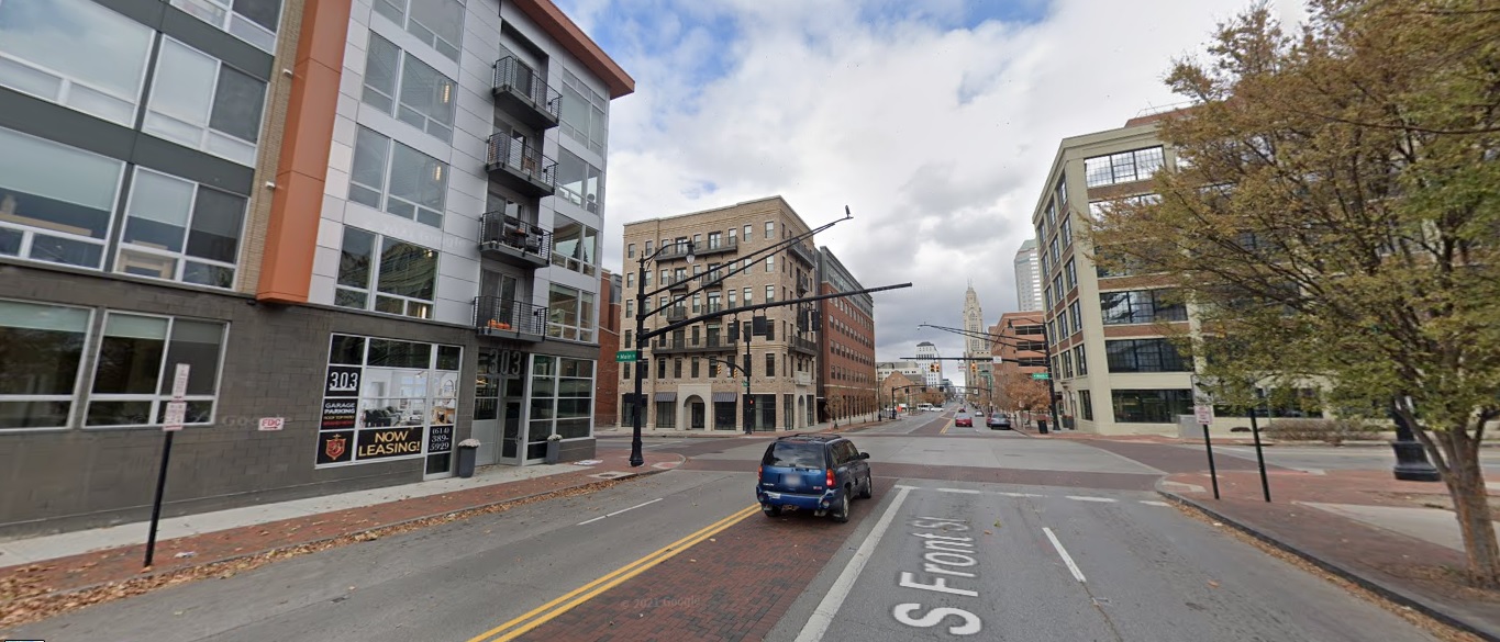
Front Street, looking north from Main Street. Before: 2011 After: 2021
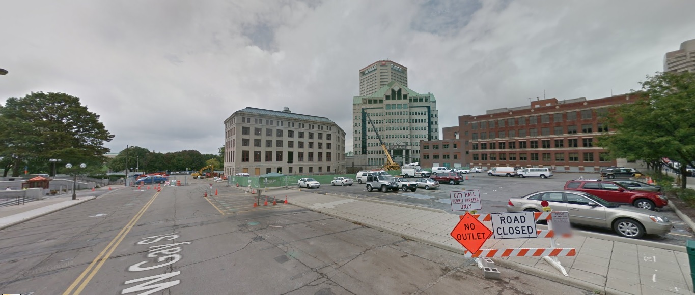
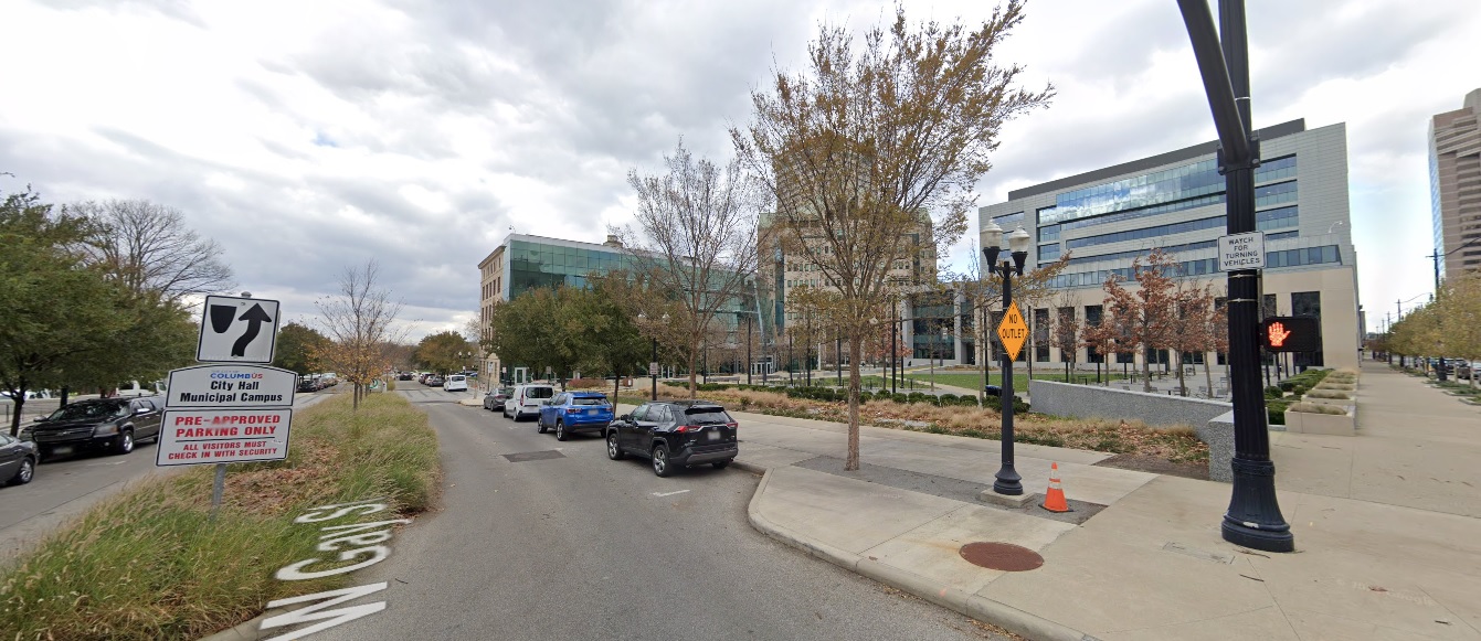
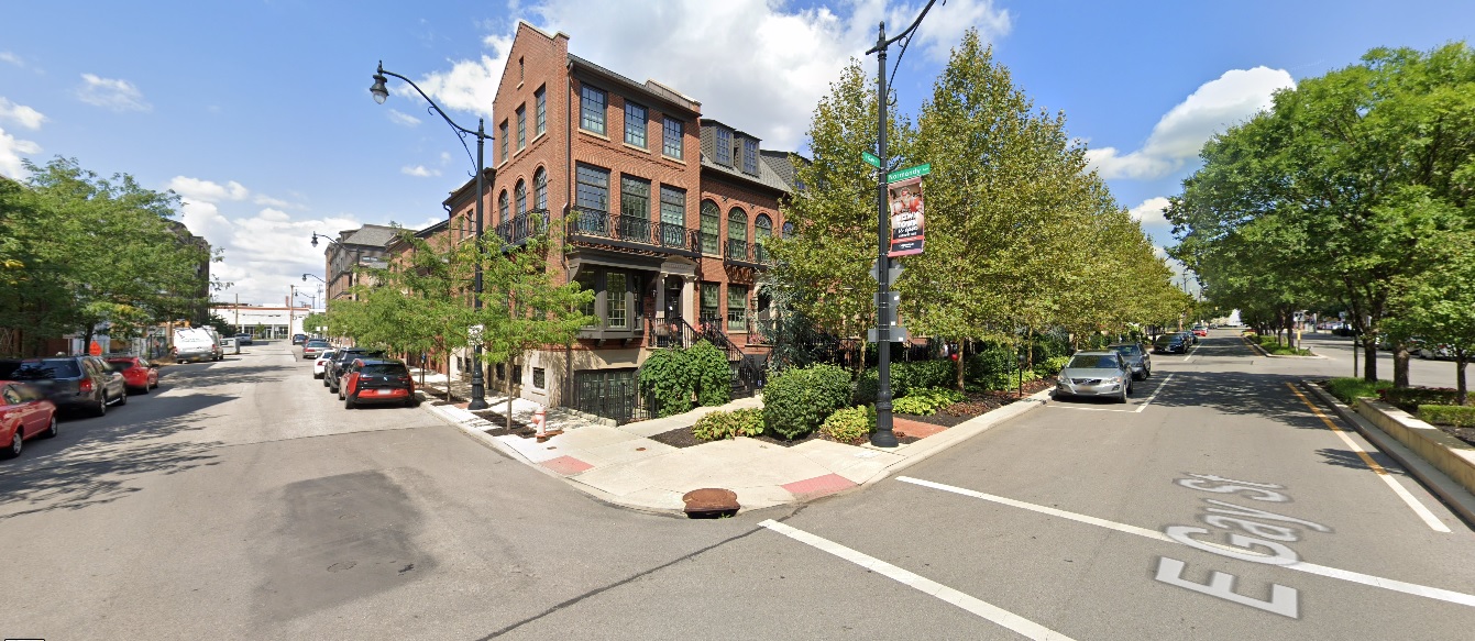
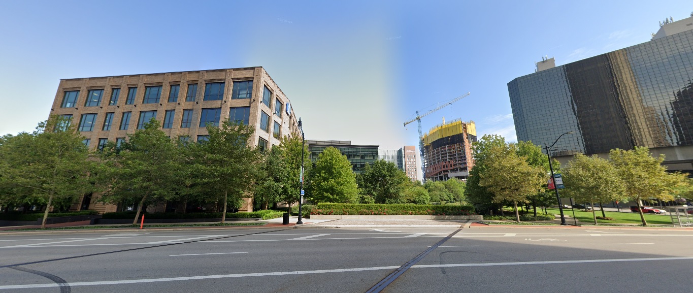
Gay Street, looking west from Front Street. Before: 2011 After: 2020
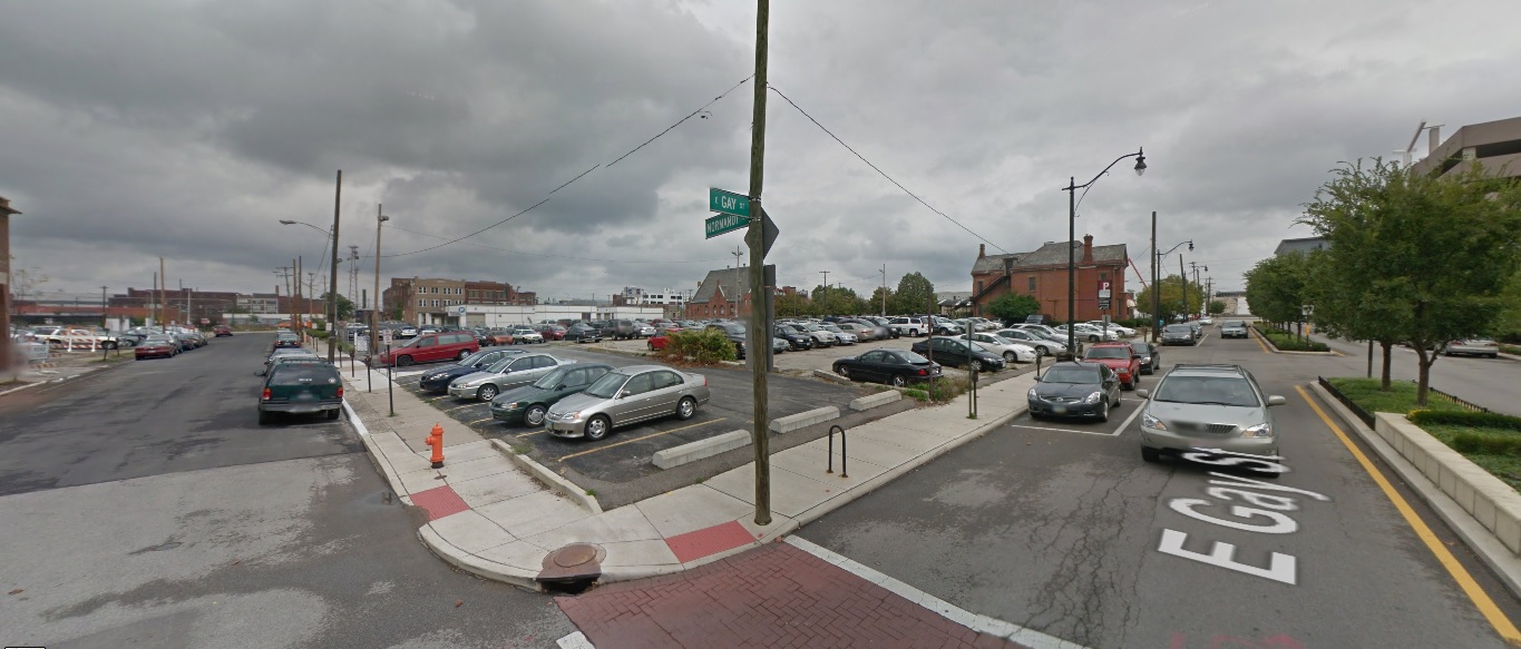
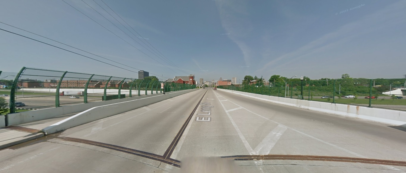
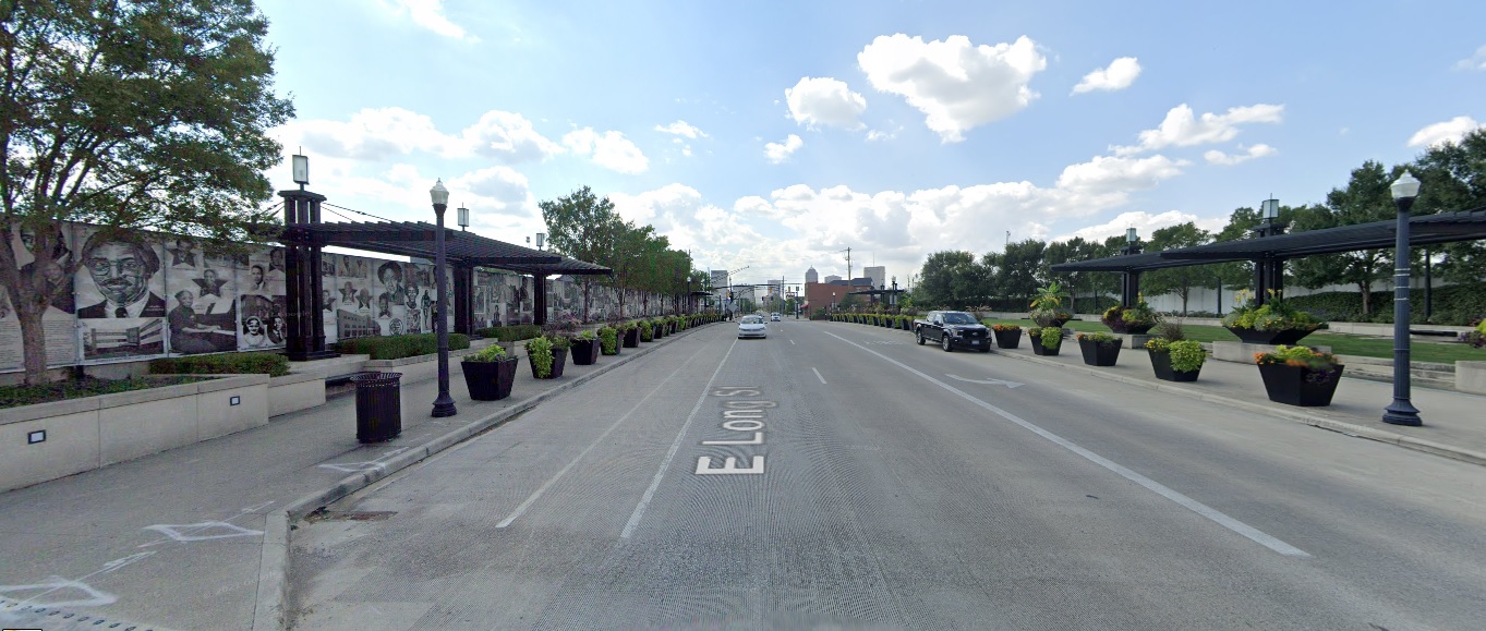
Long Street, looking west at I-71. Before: 2011 After: 2021
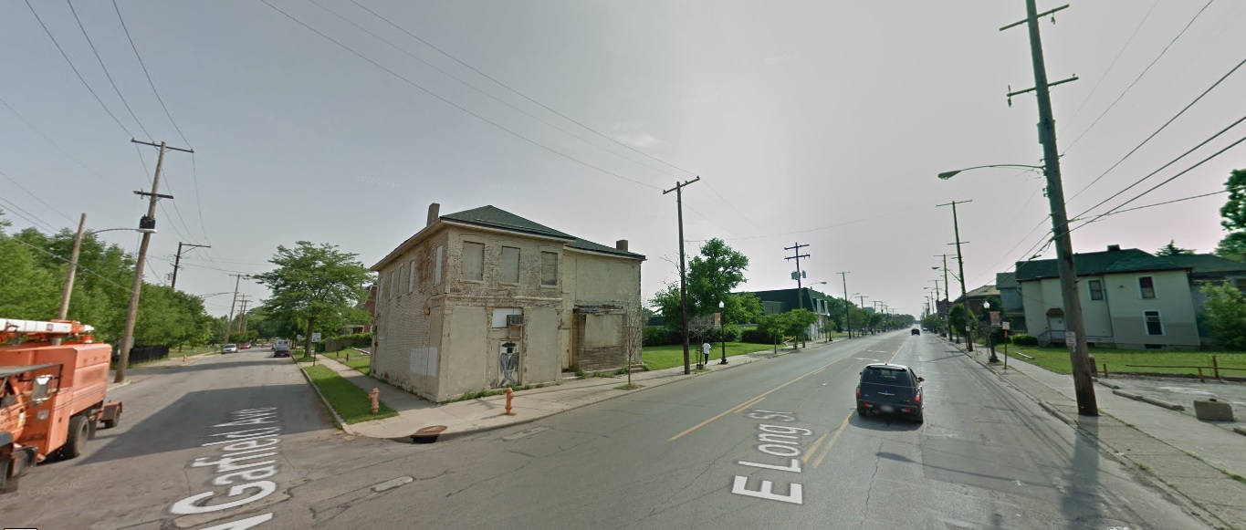
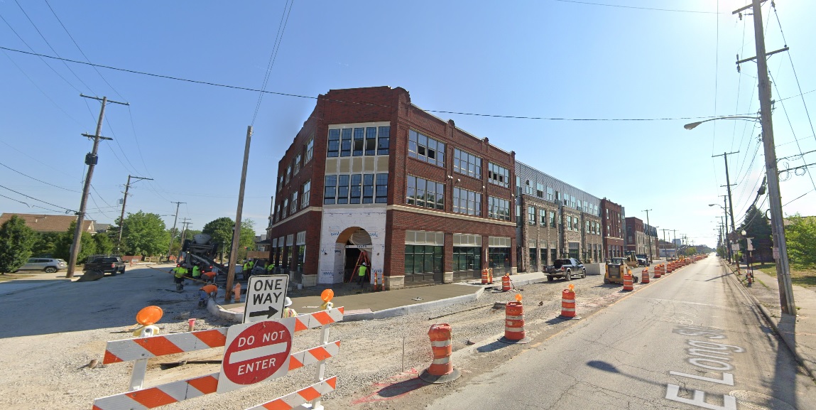
Long Street, looking northeast at Garfield Avenue. Before: 2011 After: 2021
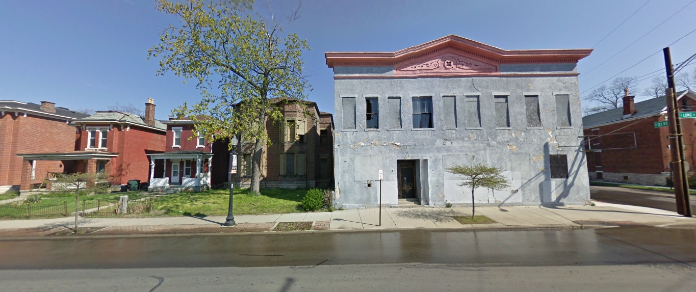
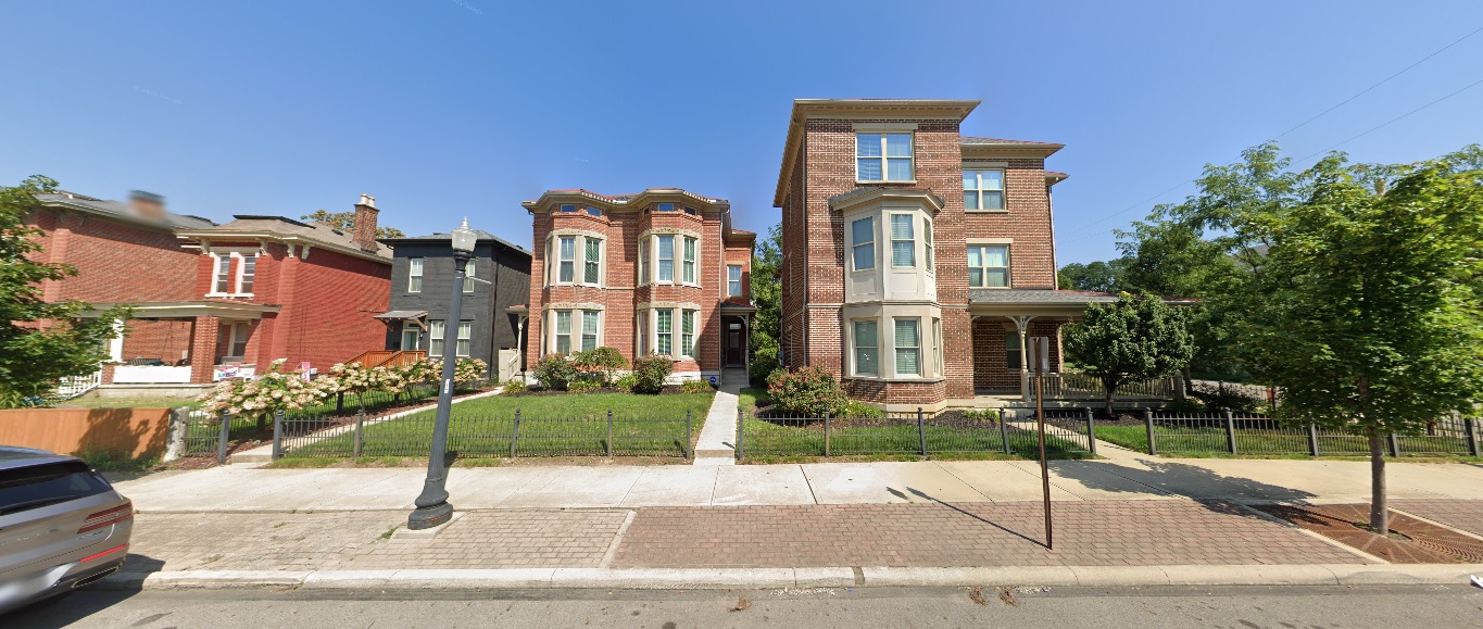
Long Street, looking north just west of 21st Street. Before: 2011 After: 2021
West Side
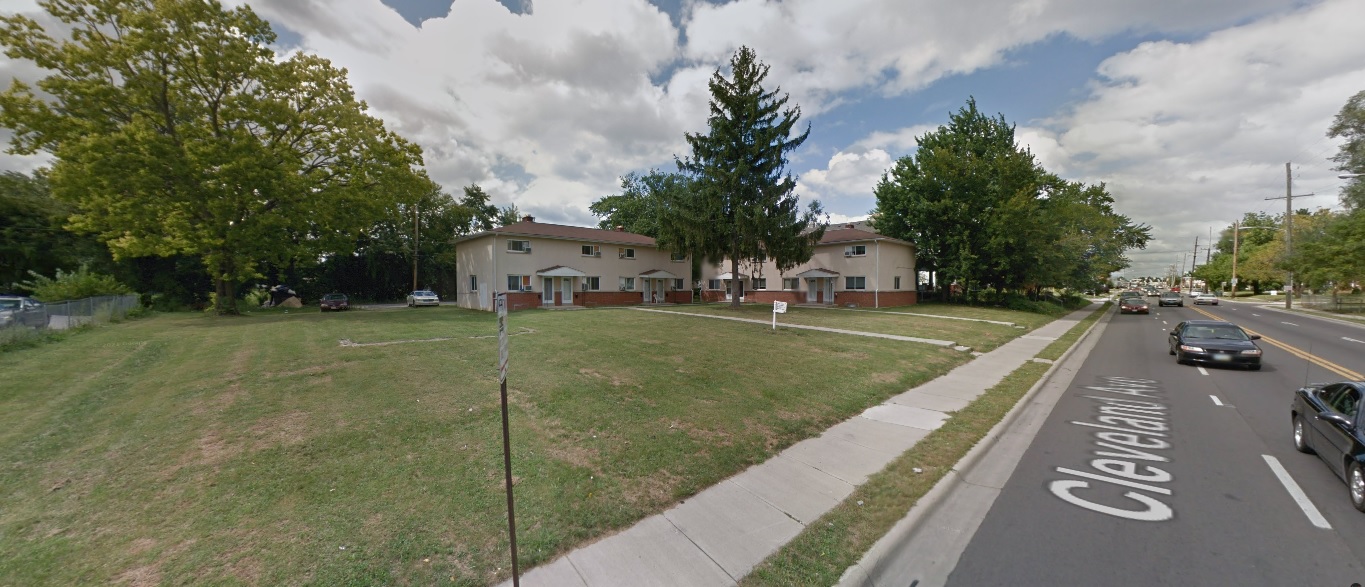
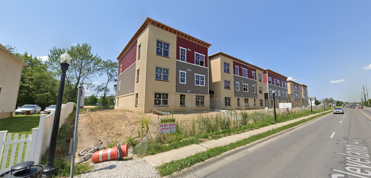
Georgesville Road, looking east south of Broad Street. Before: 2011 After: 2021
North Side
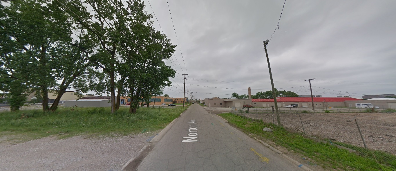
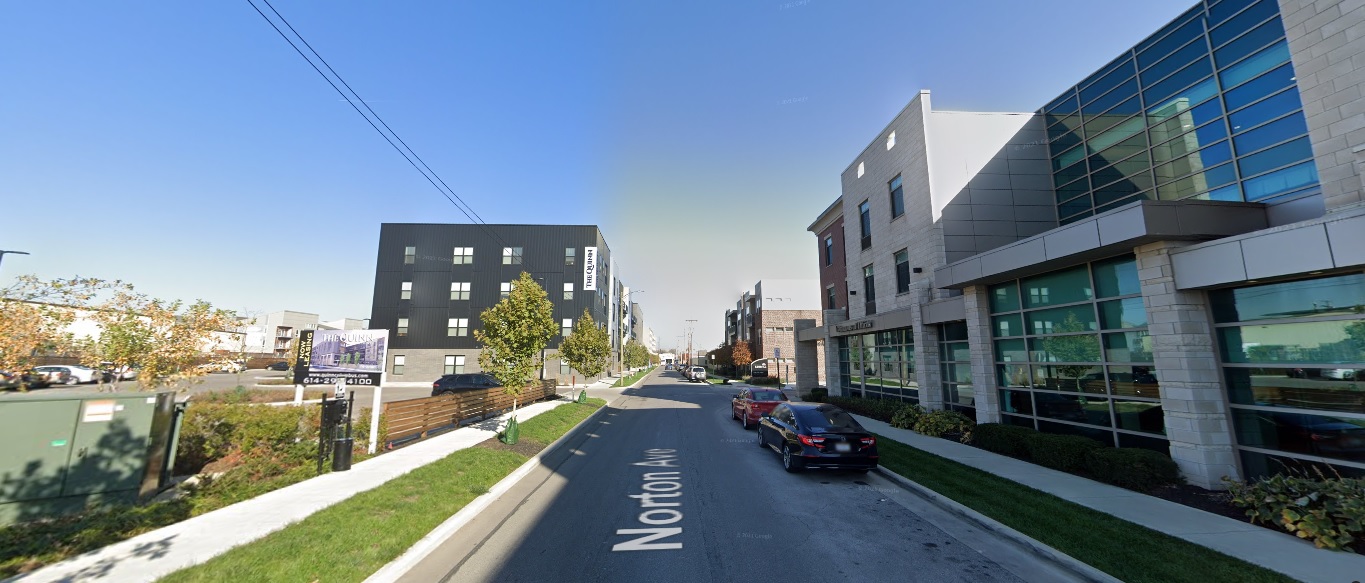
Wakeford Street, looking west from Olentangy River Road. Before: 2011 After: 2021
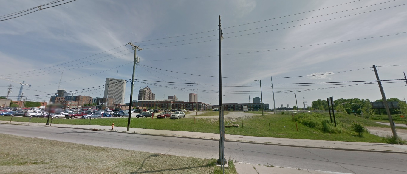
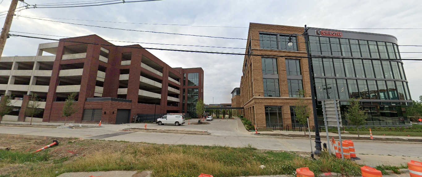
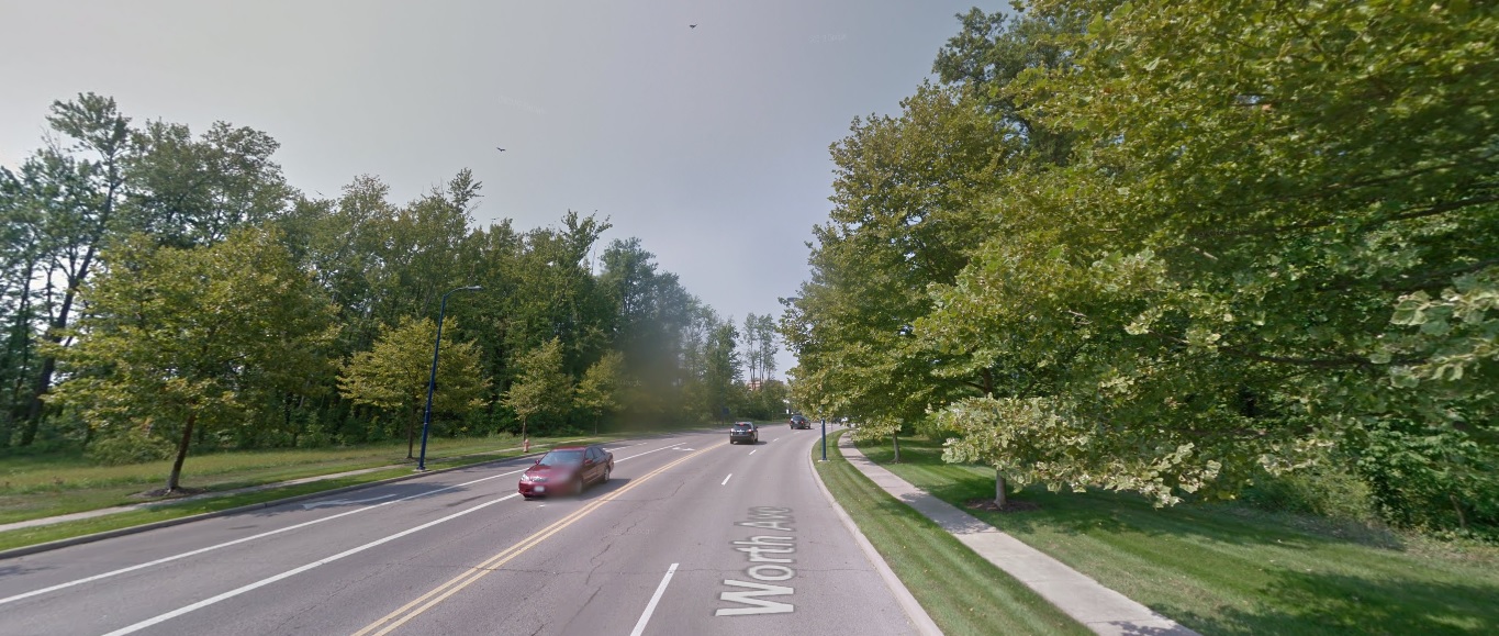
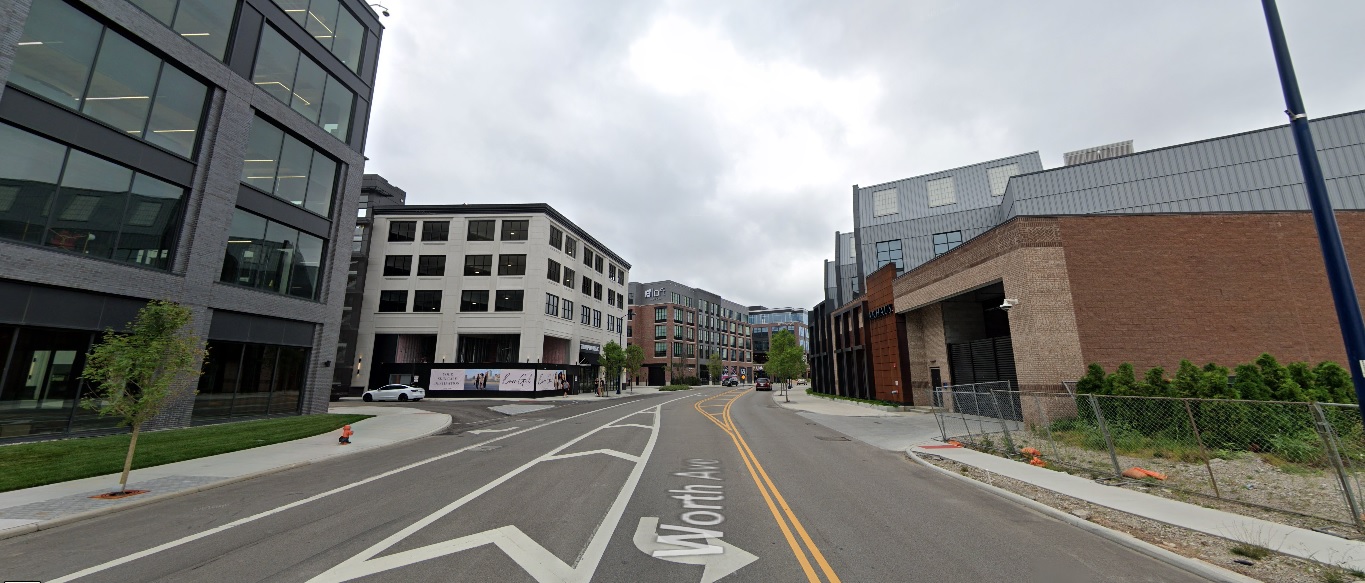
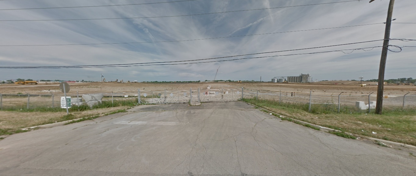
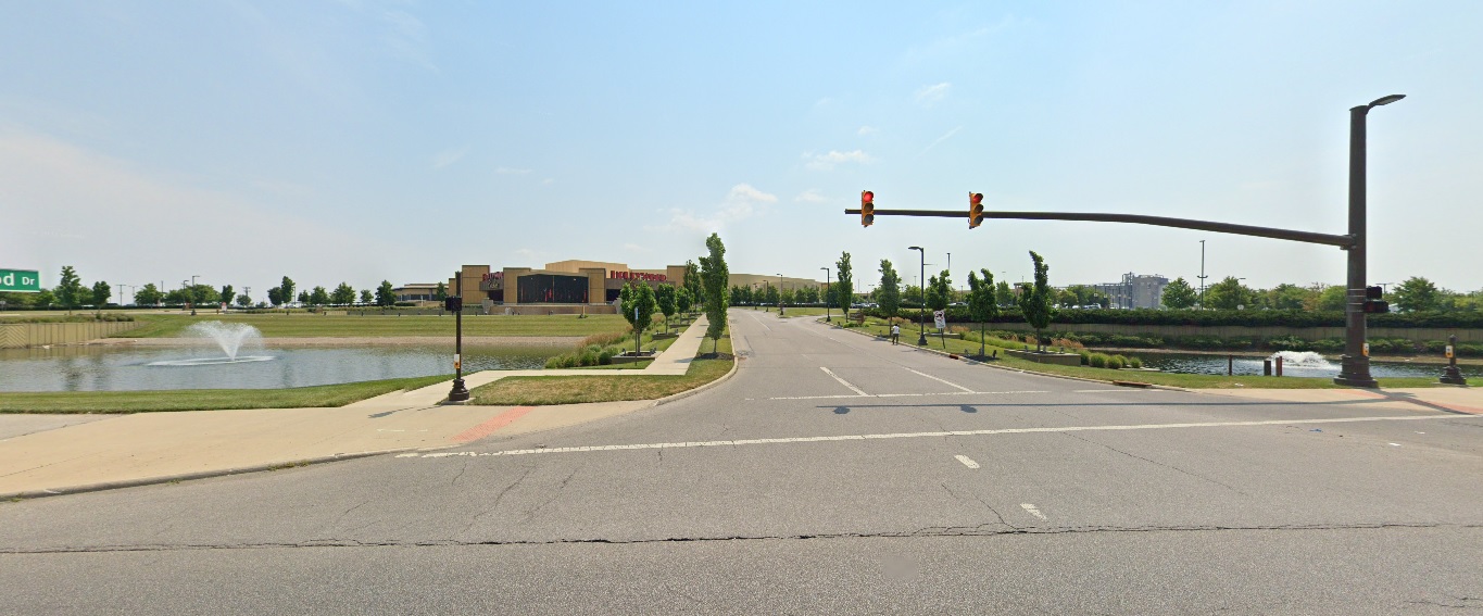
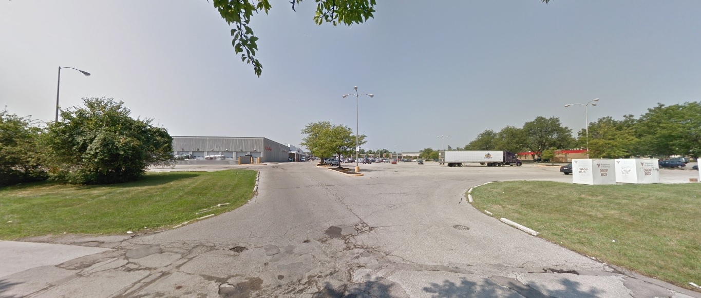
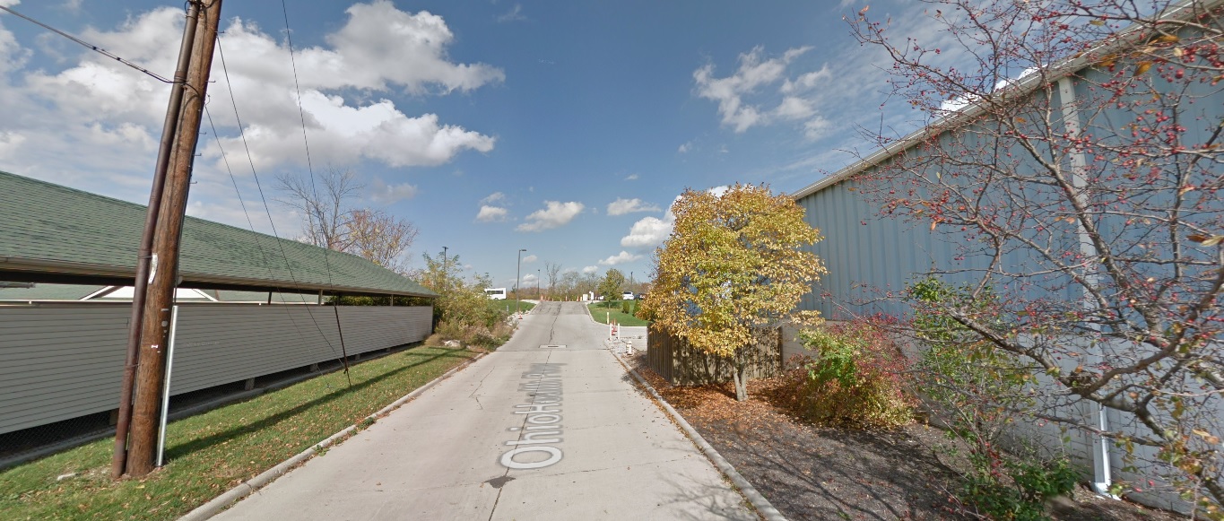
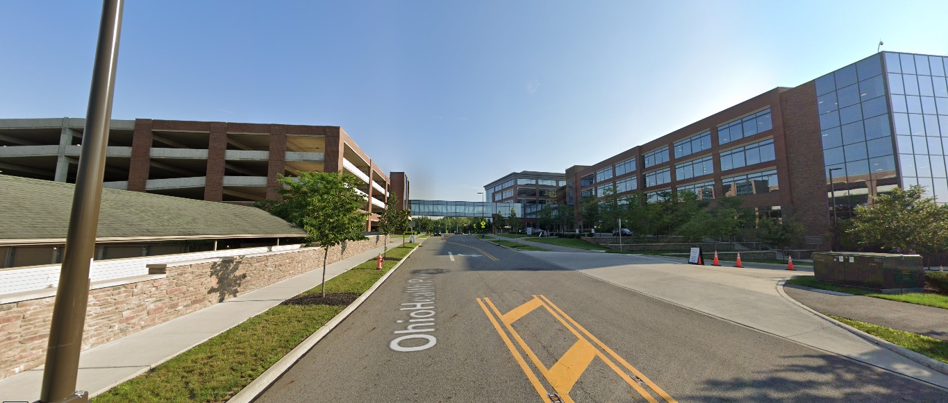
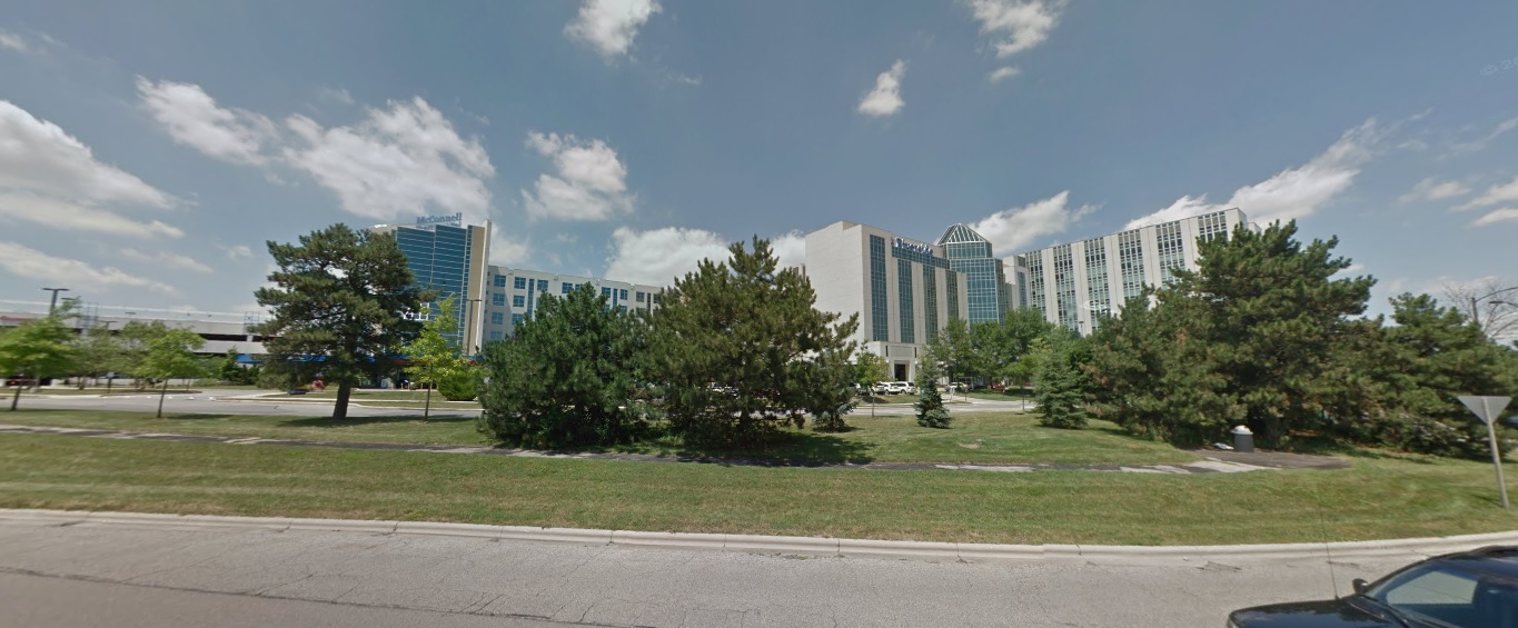
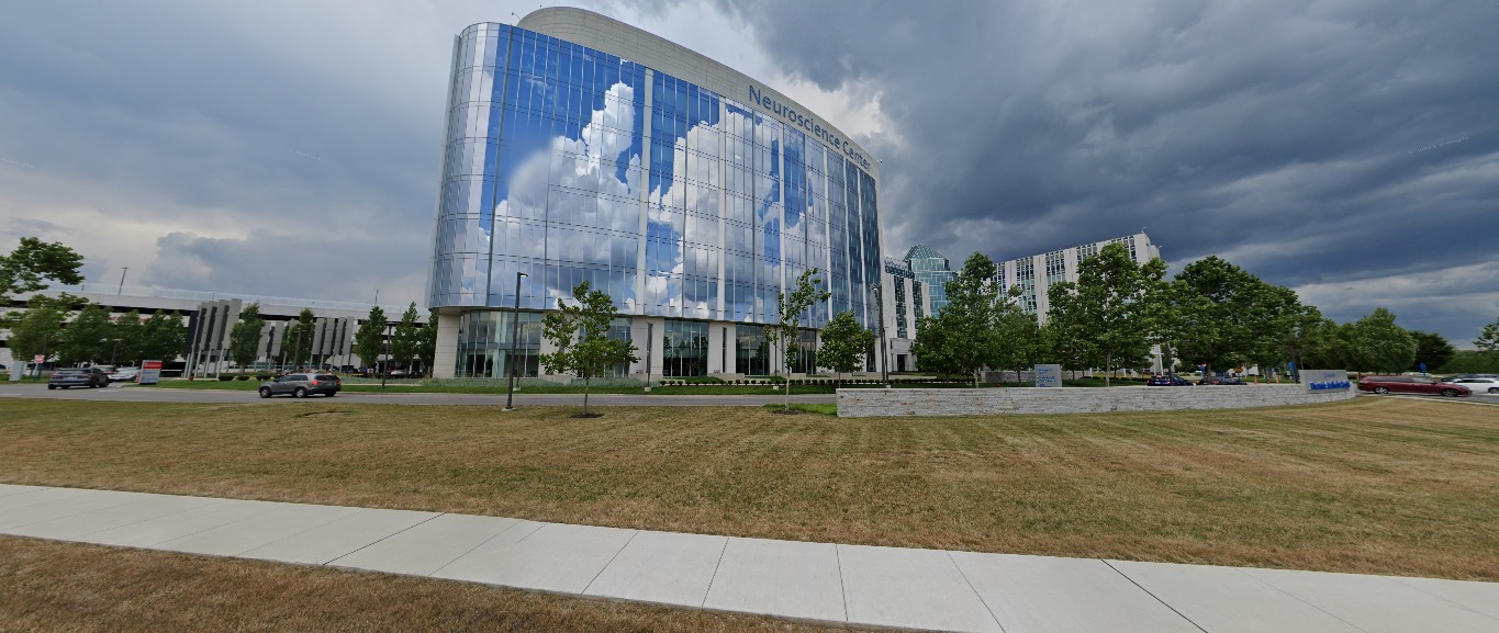
Ohio Health Parkway, looking north from Healthy Community Way. Before: 2015 After: 2021
East North Broadway, looking north at 315. Before: 2011 After: 2021
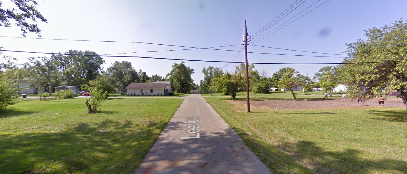
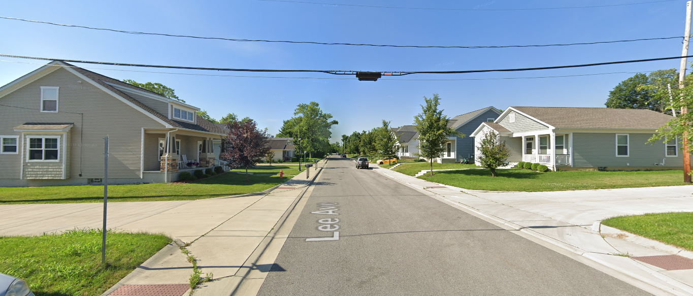
Grandview Heights
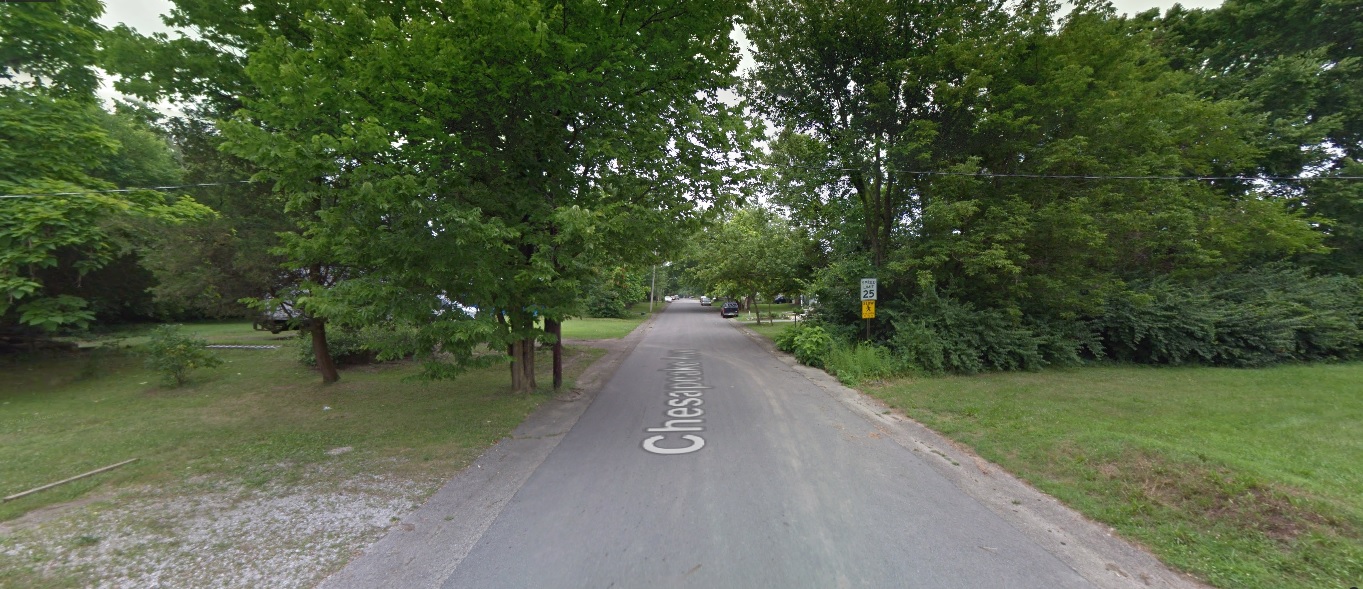
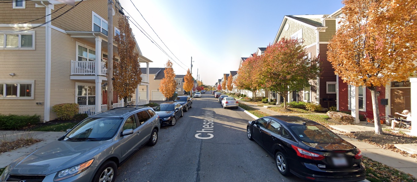
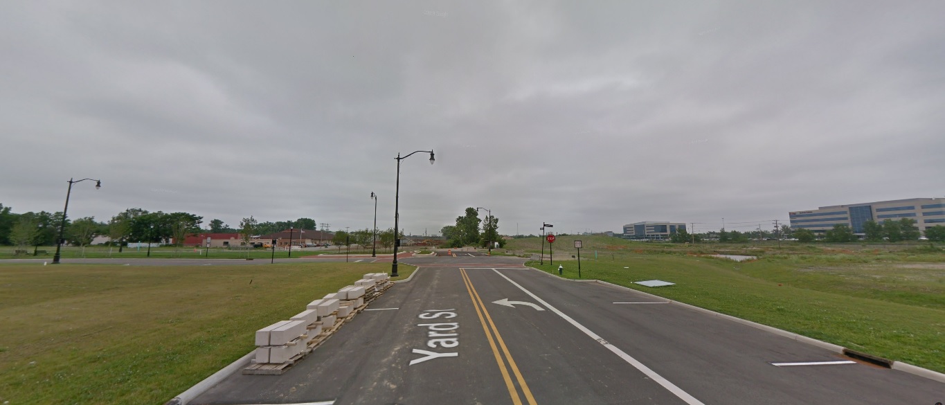
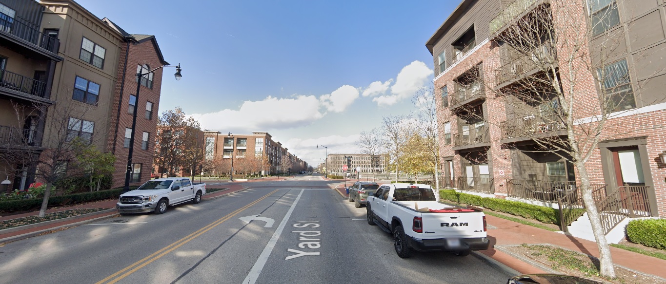
Yard Street, looking north from just south of Burr Avenue. Before: 2011 After: 2020
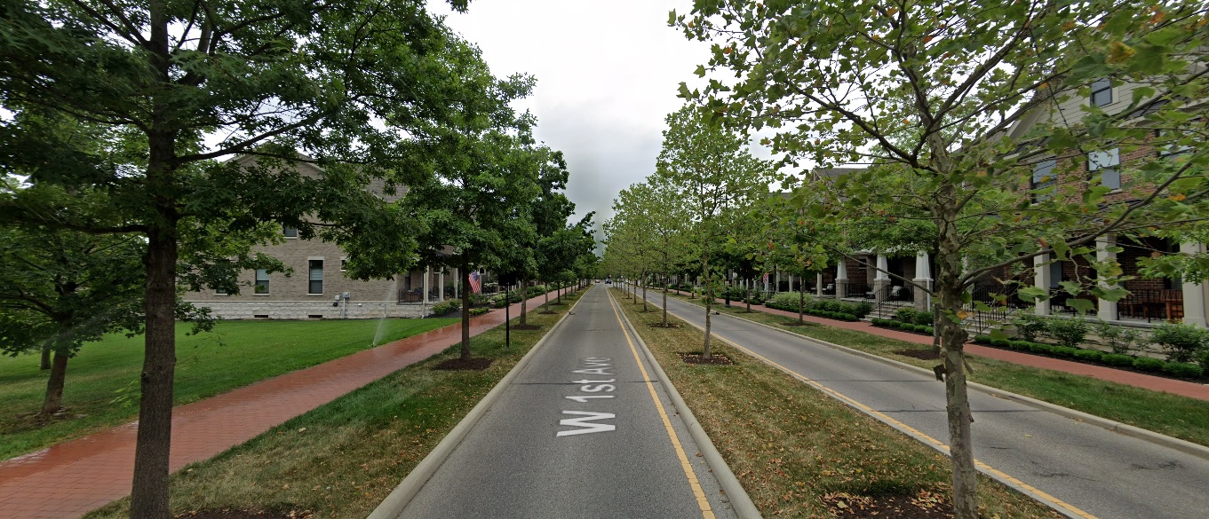
First Avenue, looking northeast at Edgehill Road. Before: 2012 After: 2021
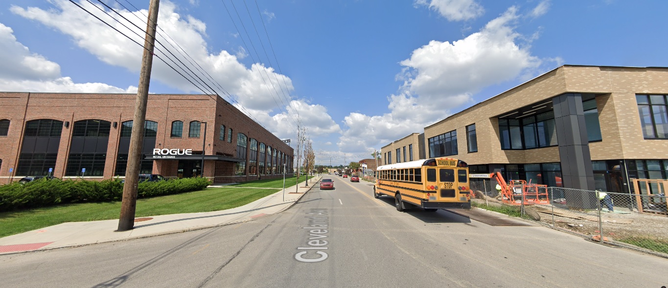
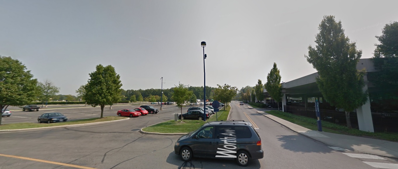
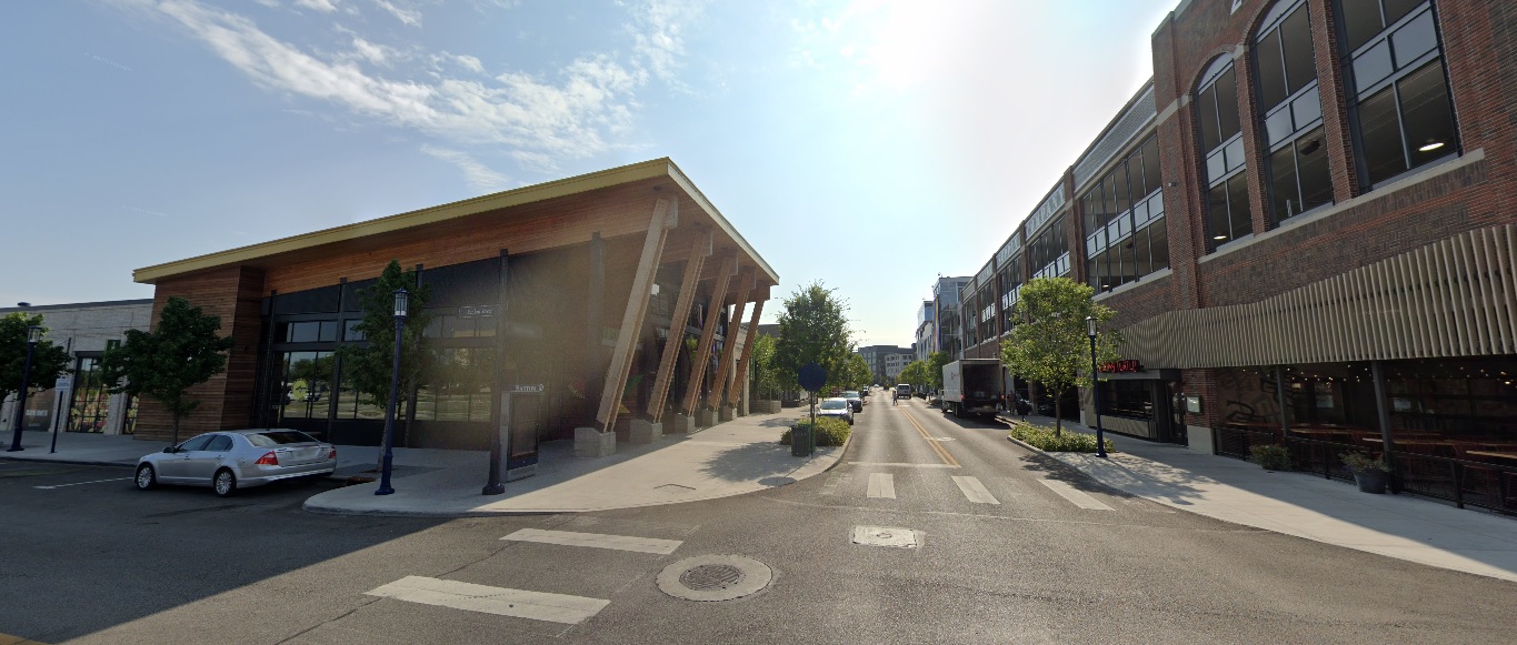
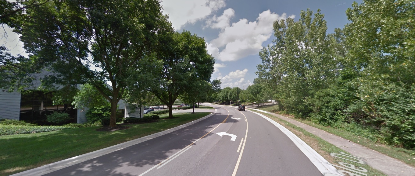
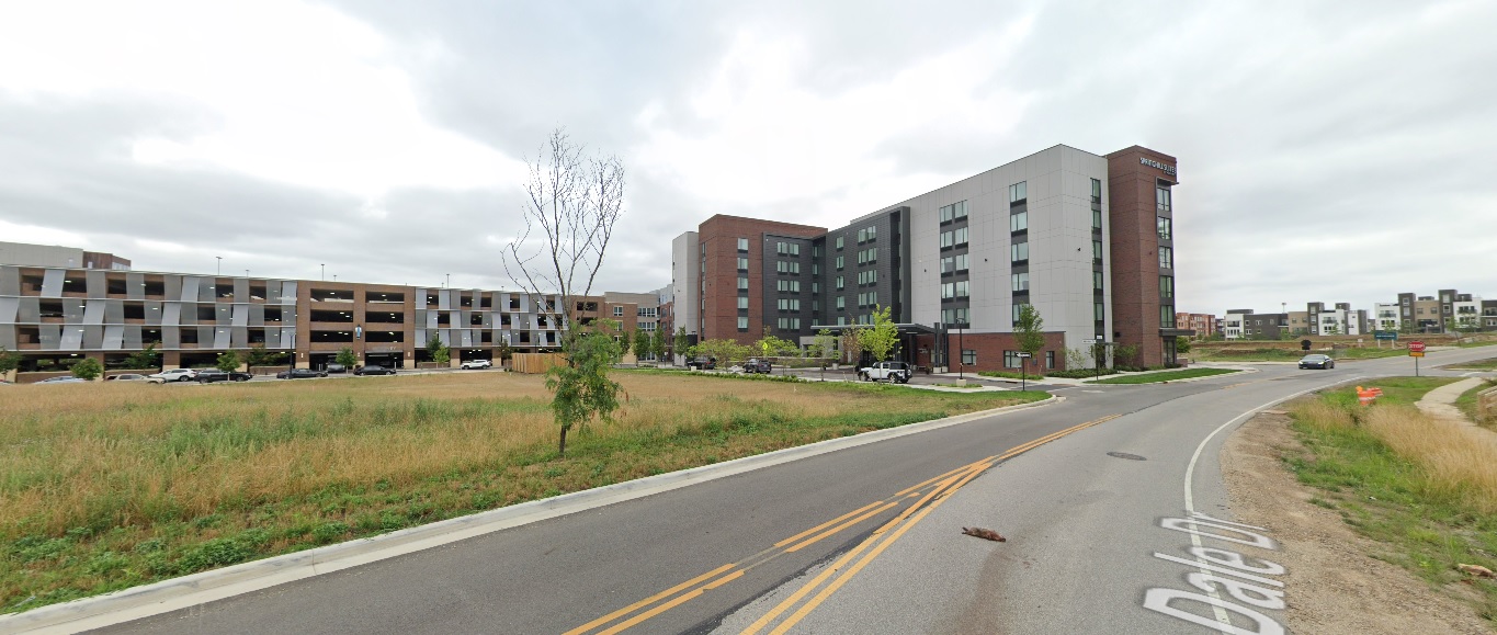
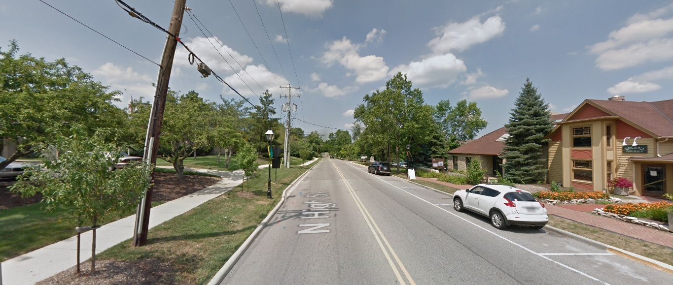
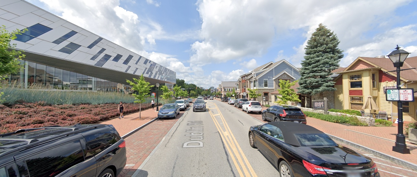
Dublin
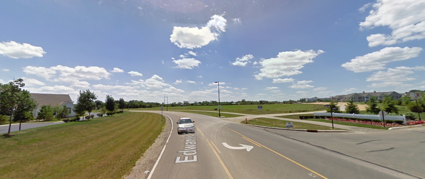
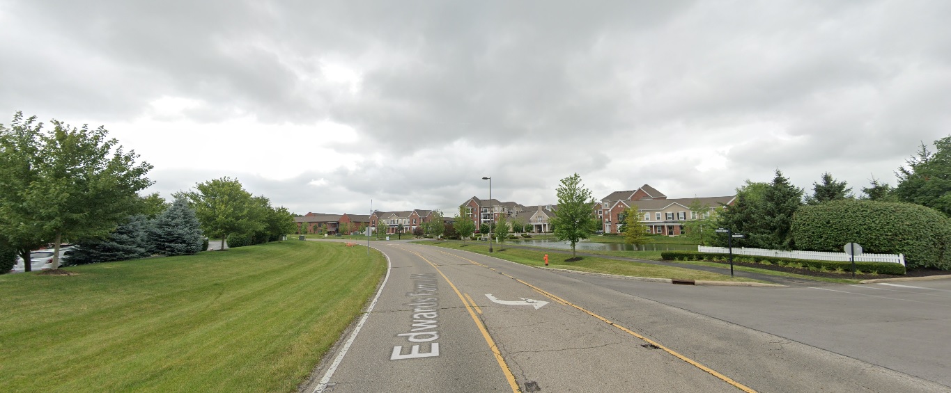
Edwards Farms Drive, looking south at Frawley Drive. Before: 2011 After: 2021
Dale Drive, looking northwest north of Banker Drive. Before: 2011 After: 2021
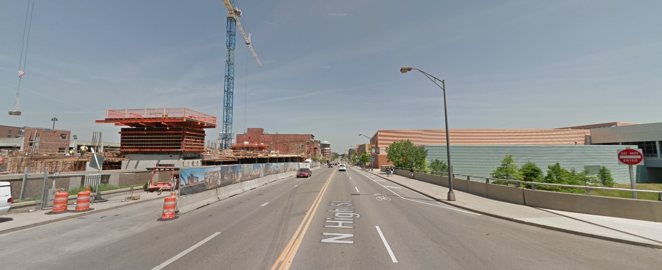
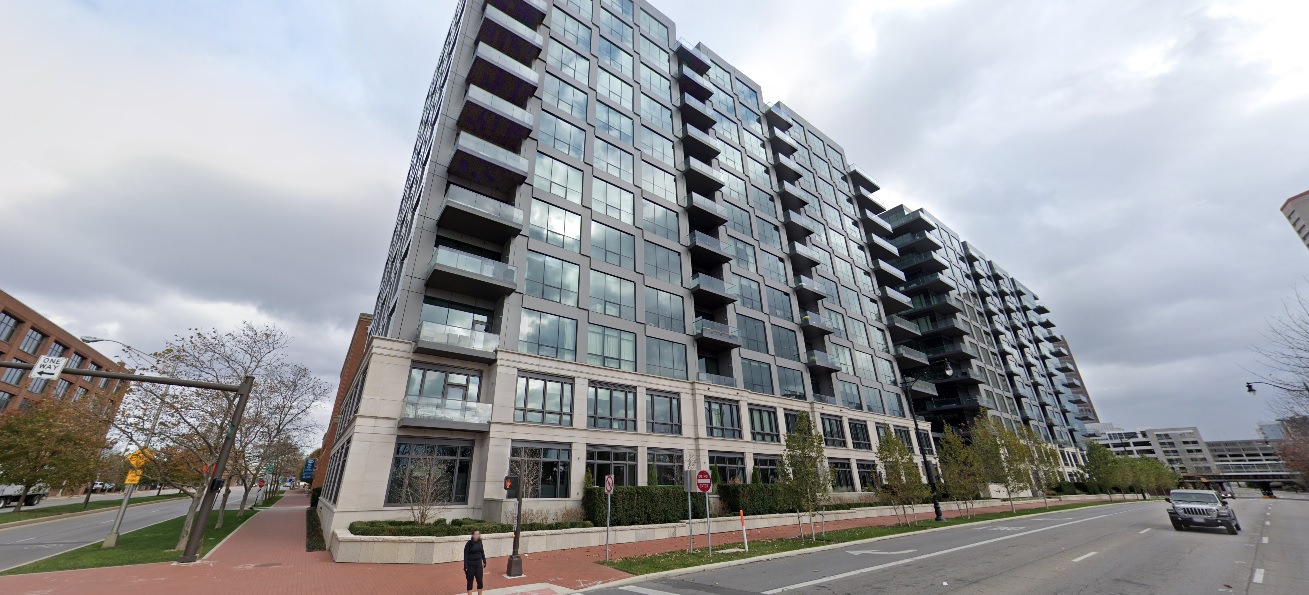
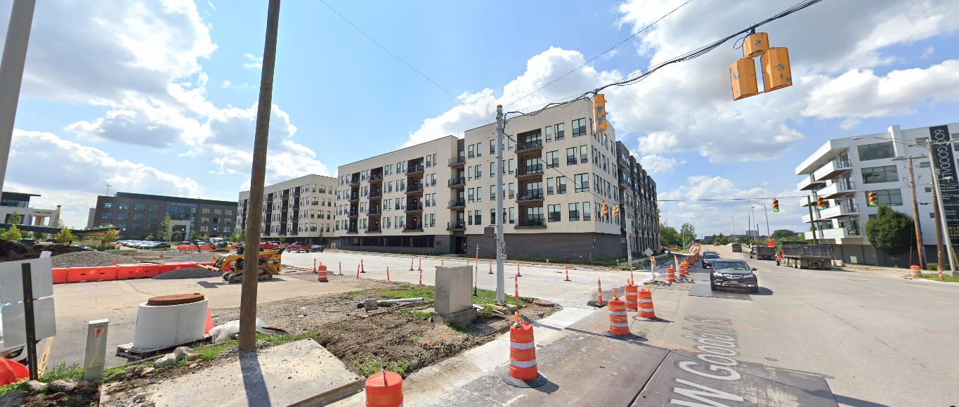
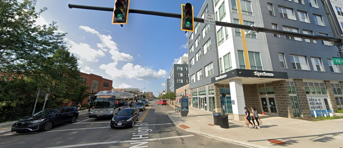
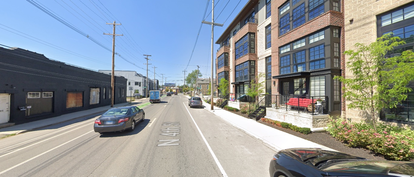
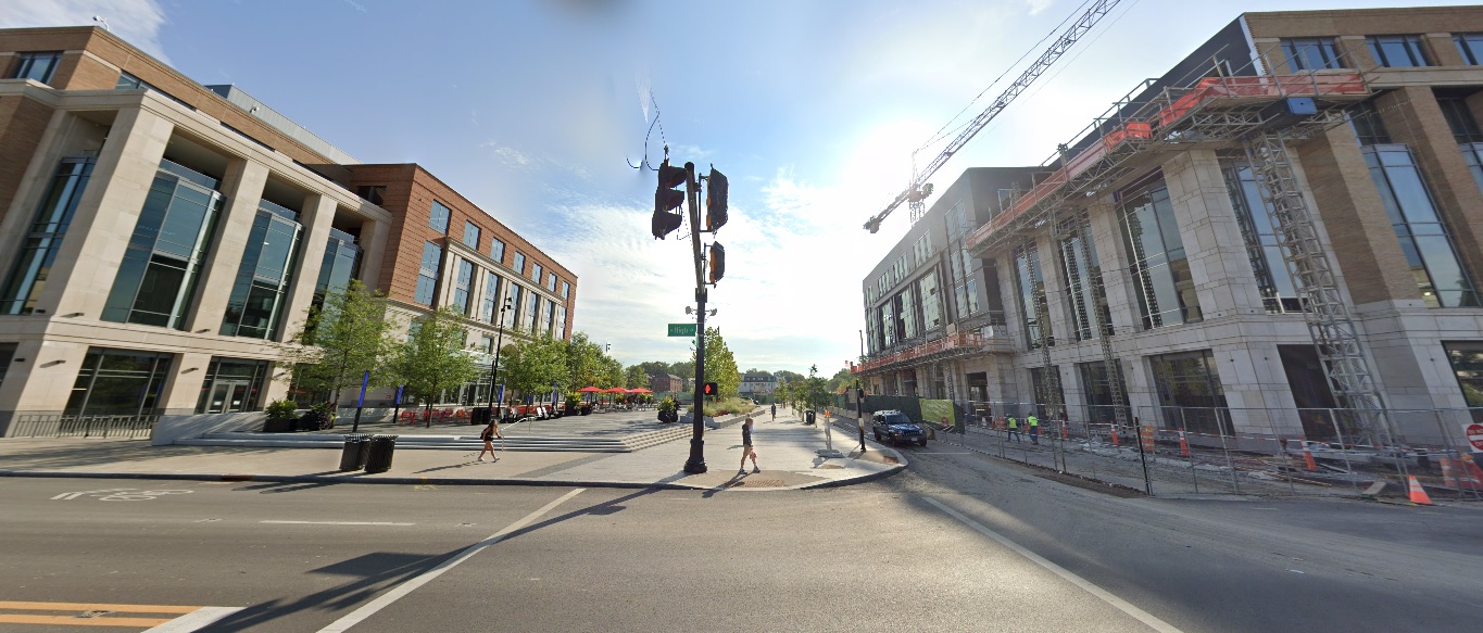
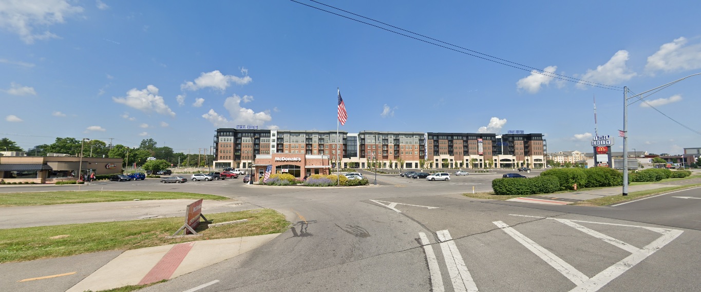
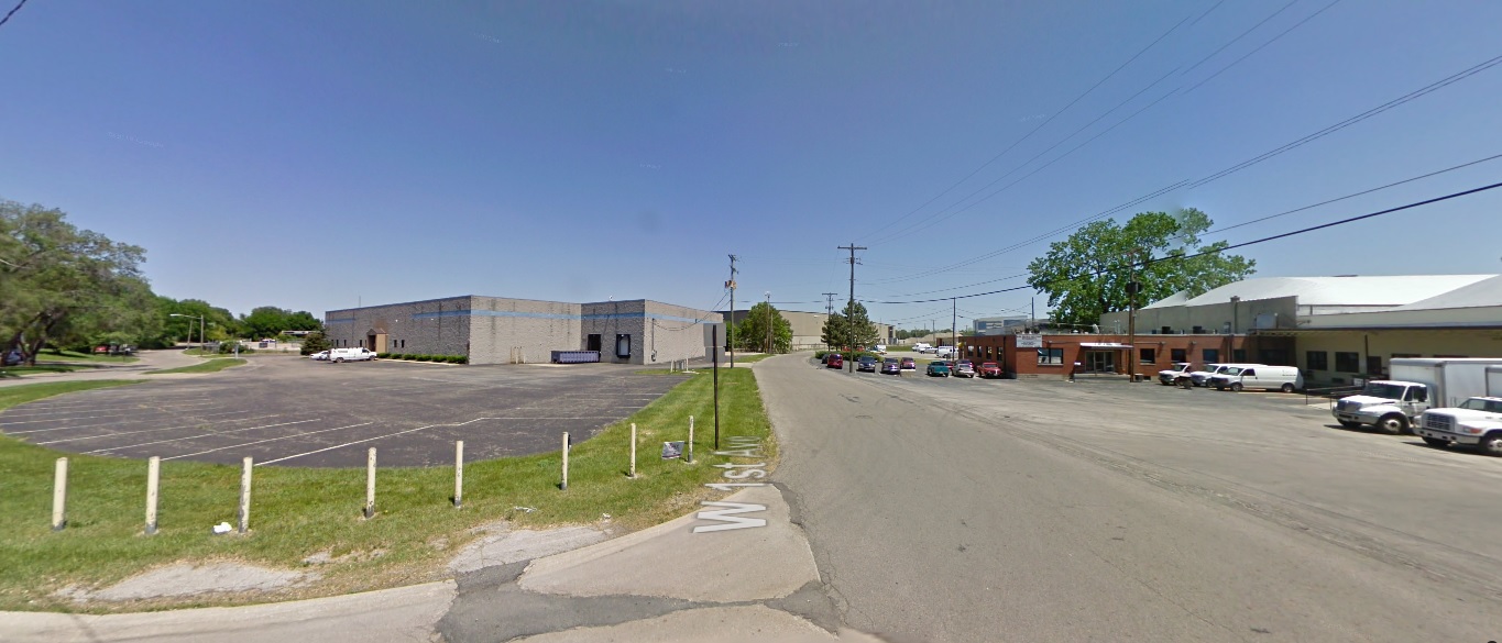
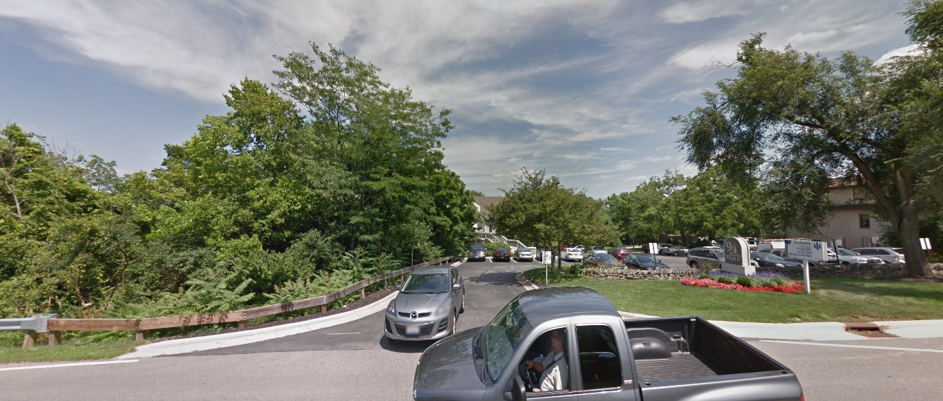
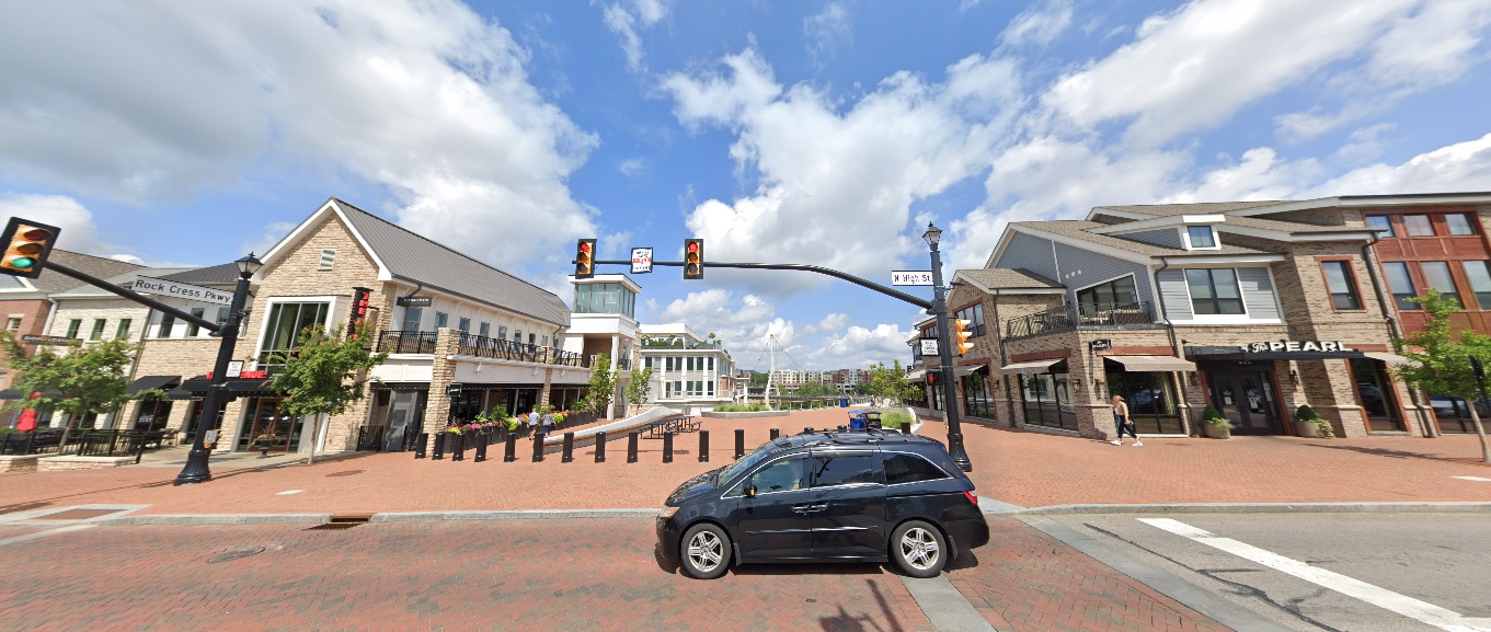
High Street, looking north from North Street. Before: 2011 After: 2021
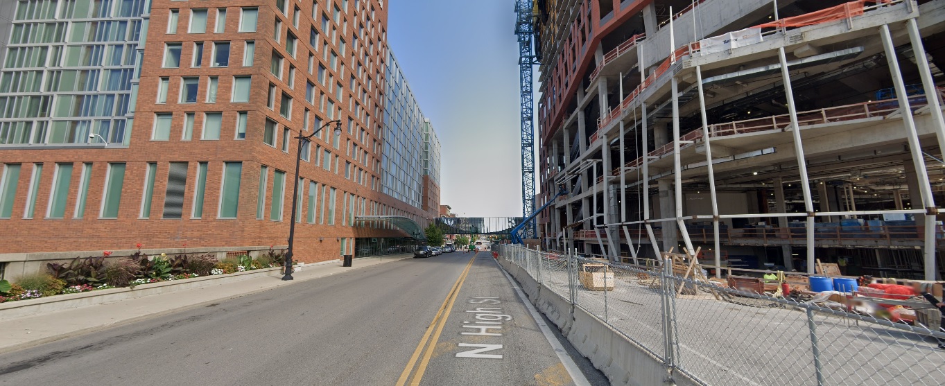
High Street, looking east at Rock Cress Parkway. Before: 2011 After: 2021
Upper Arlington
Riverside Drive, looking east just south of Bethel Road. Before: 2011 After: 2021
Bexley
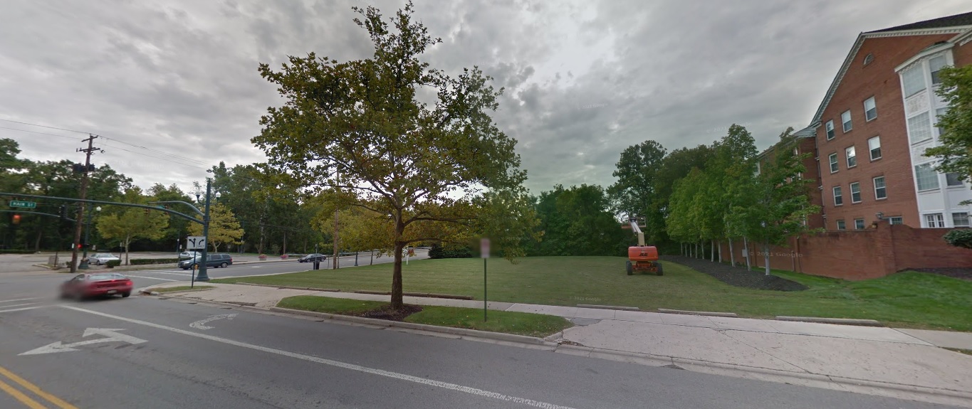
Parkview Avenue, looking southwest just north of Main Street. Before: 2011 After: 2021
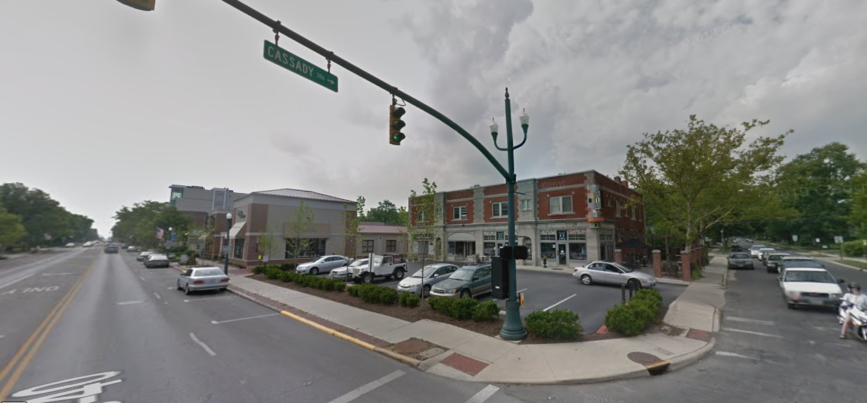
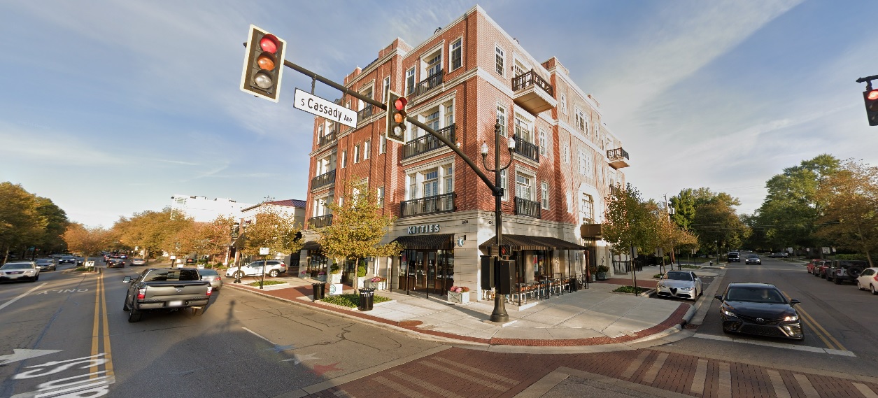
Main Street, looking northwest at Cassady Avenue. Before: 2011 After: 2021
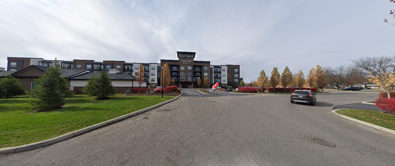
As I stated in the previous installment, these photos still just represent a small fraction of the development and changes that have occurred across the city and its suburbs in the past decade. These are meant to be representative of those changes, not to suggest that other neighborhoods not featured didn’t change as well. Either way, enjoy!
This 2-part before and after series highlights many projects that have changed the landscape around the city. Many other projects that will continue to transform the area for the next decade and beyond are still in development or construction phases. A list of local area commissions provide monthly updates on potential new projects around the city.
Aerial photos have been around for more than a century, ever since someone thought to take photos from airplanes. These photos go back to at least the 1910s, when the airplane was still very much a new technology. I thought it might be interesting to do show a few of these before and after Downtown aerial photos to give an idea of how the same areas look today.
Before
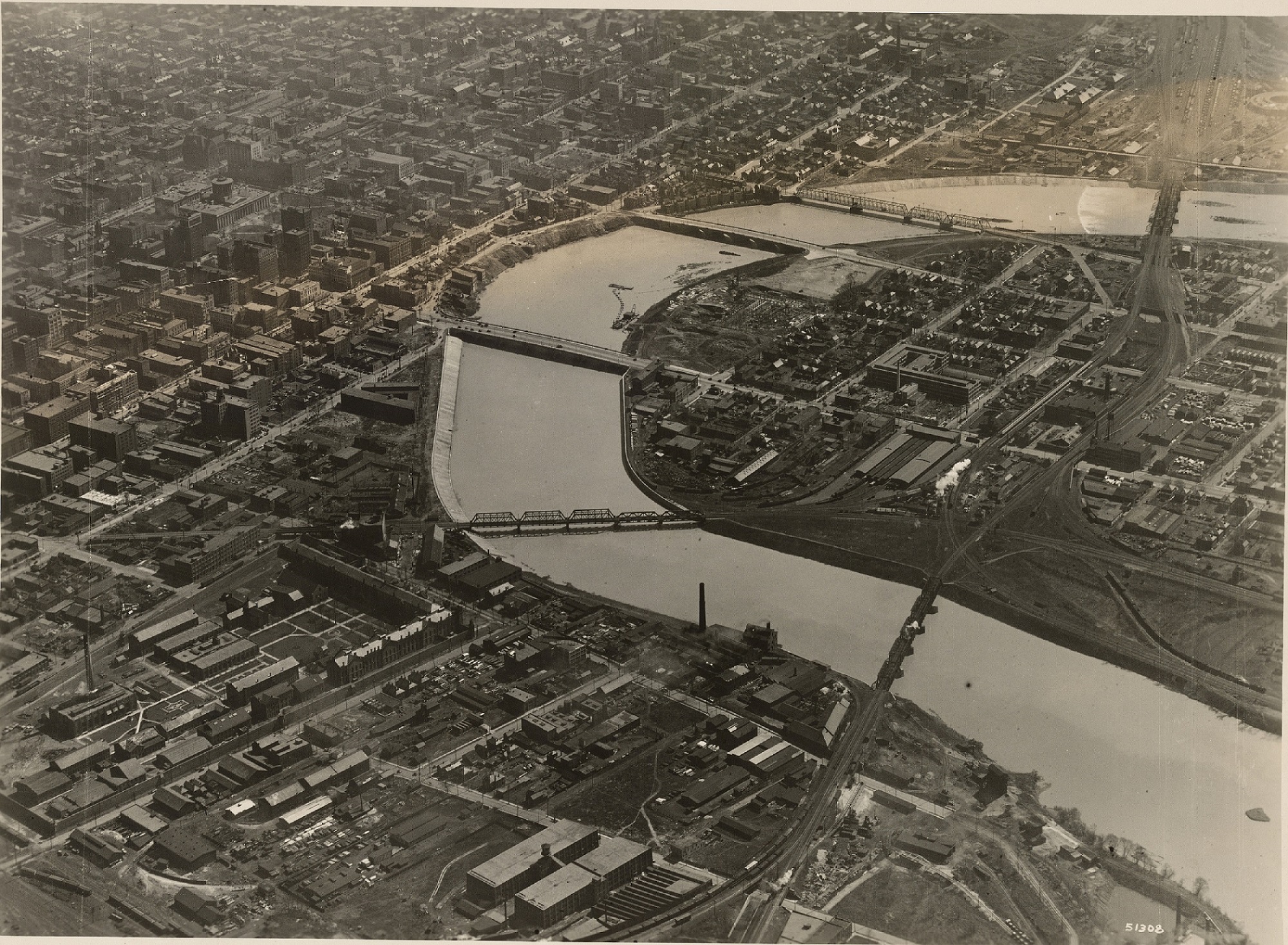
Downtown around 1923.
This photo of Downtown was likely taken sometime between 1922 and 1923. The main clue is that the old Central High School is clearly under construction on the Scioto Peninsula, but seemingly in the early phases. The school would later open in the fall of 1924. Also in the photo is the new Scioto River floodwall under construction just a decade after the Great Flood of 1913. The buildings near and along the riverfront would eventually be demolished for this project, as well as the eventual Civic Center project that would later build the Post Office and Ohio Supreme Court building. Notice as well the lack of Columbus’ signature building- LeVeque Tower. That project would be constructed over the next few years. After
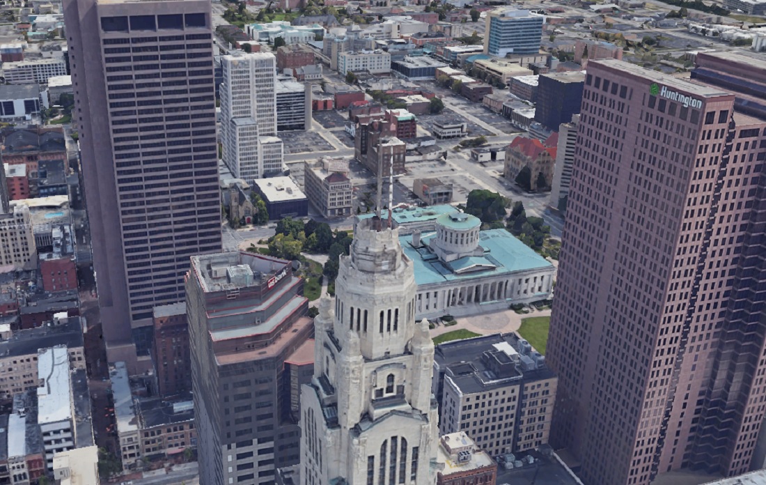
Downtown in 2019.
Downtown has obviously changed enormously in the past century. Skyscrapers now dominate Downtown, and the highway system now cuts through many neighborhoods. The riverfront itself is also significantly nicer and less industrial looking. Before
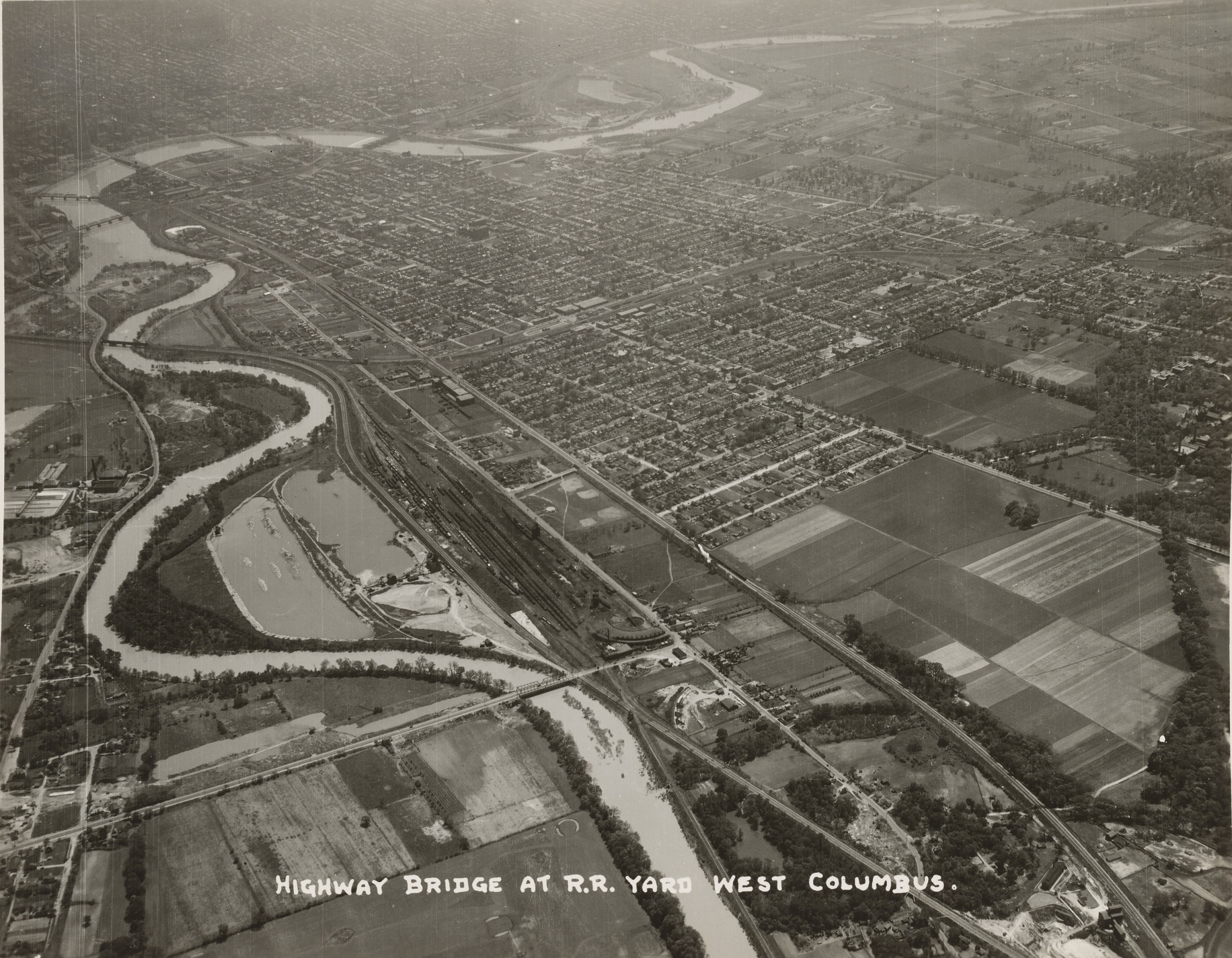
Photo taken in 1929.
This 1929 photo looks west over Franklinton towards Downtown. The most revealing part of this photo is how compact the developed area of Columbus really was at the time. Farm fields can be seen to the south and west of Columbus. After
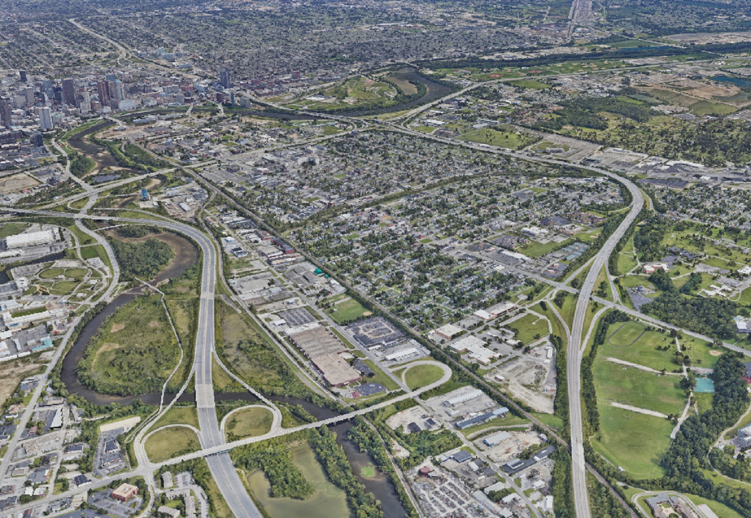
Photo taken in 2019.
In the after photo, nearly all the vacant land is gone except for park space, Greenlawn Cemetery and areas along the rivers.
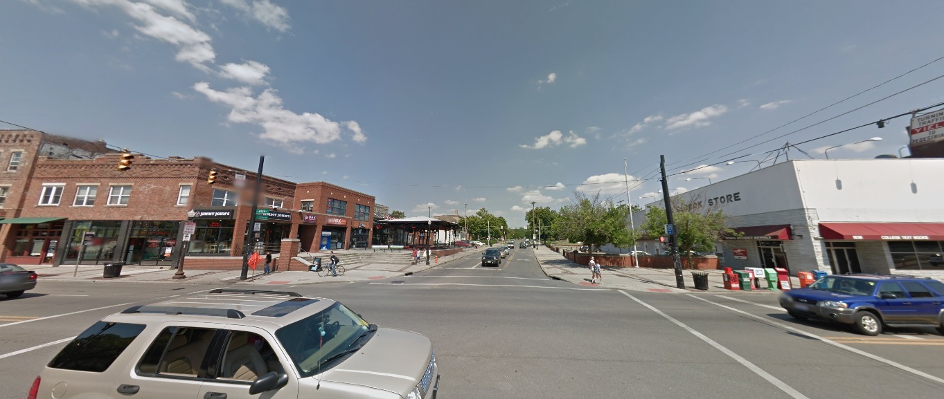
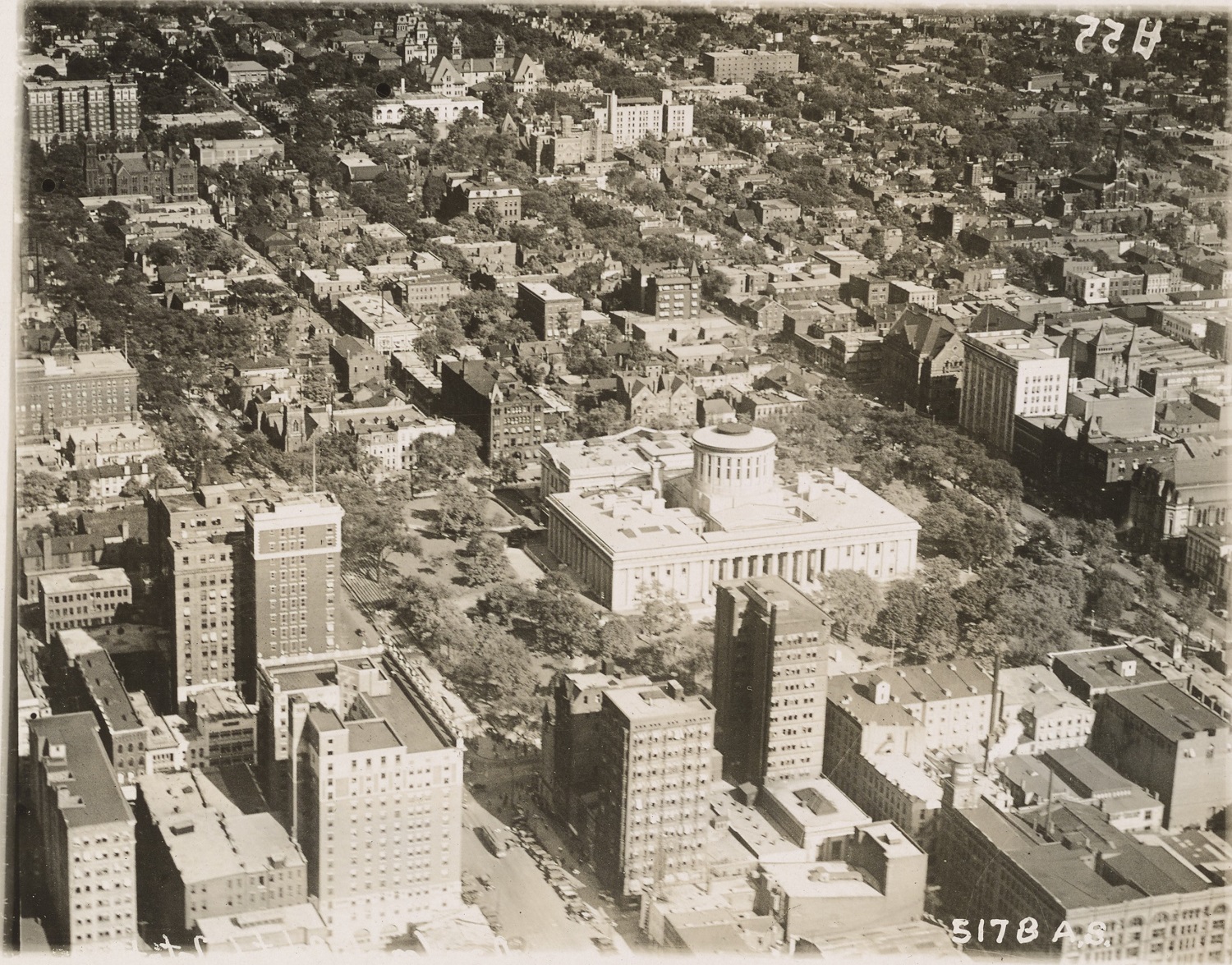
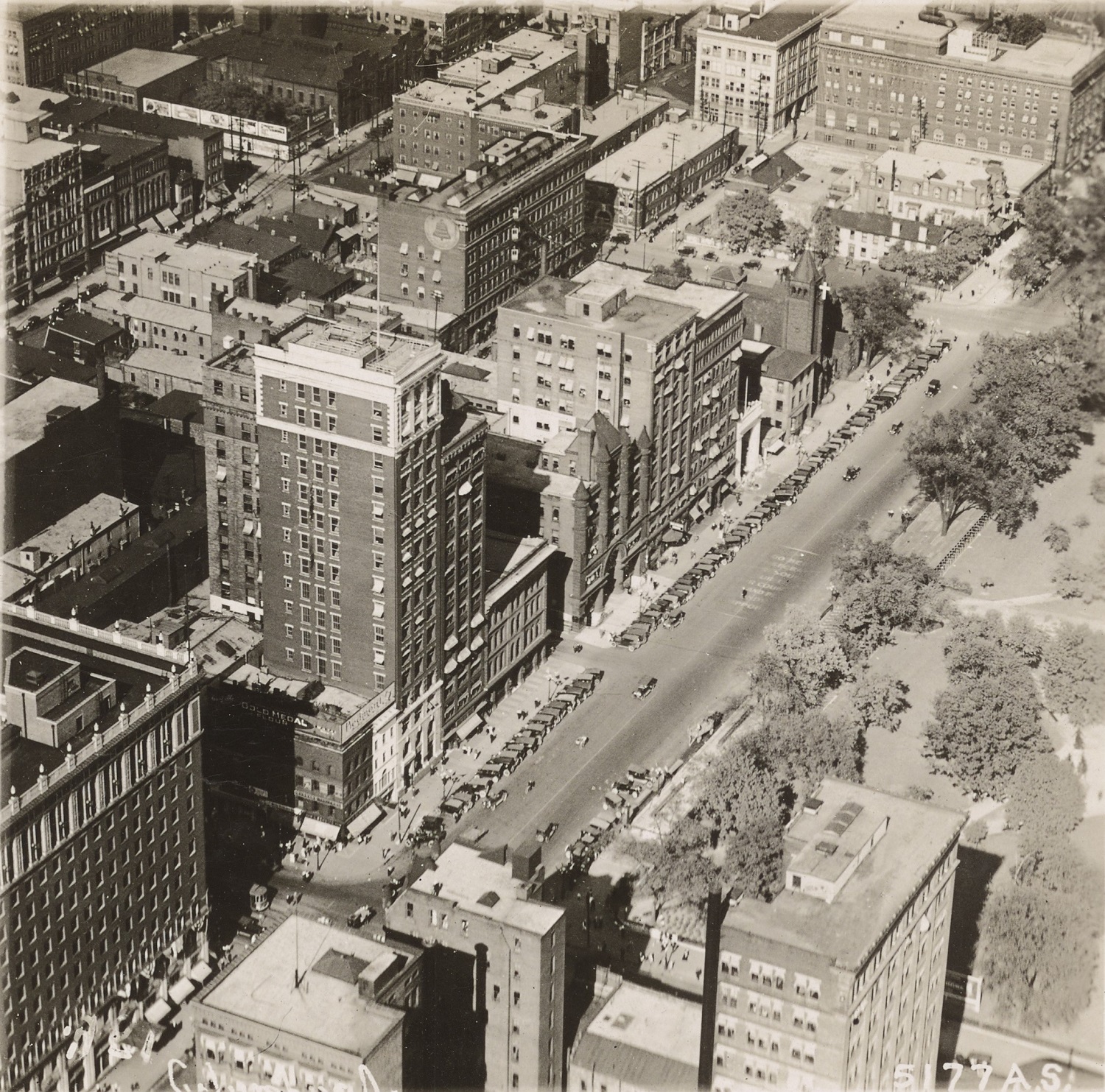
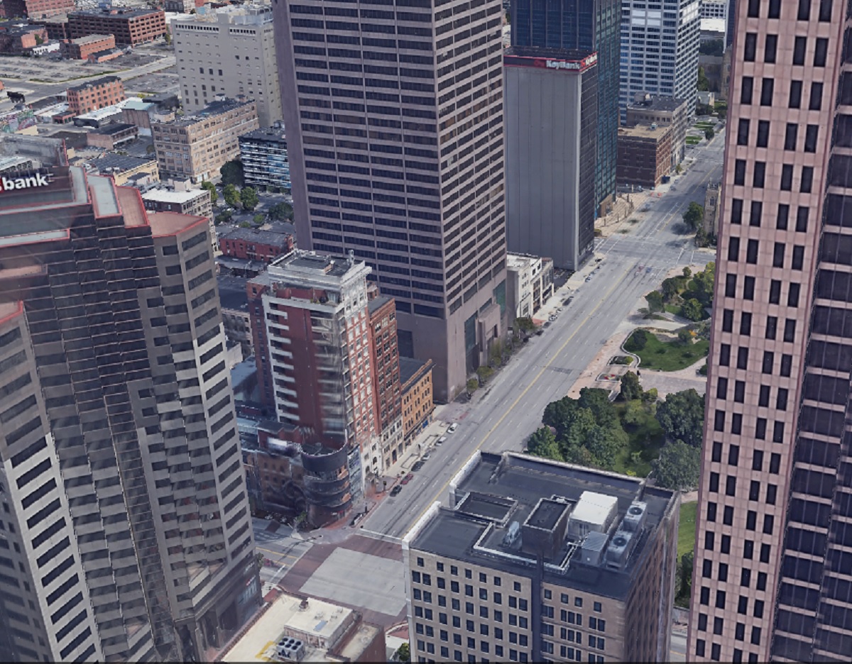
Before This photo of Capitol Square in 1919 is one of the earliest aerials of Downtown I was able to find. This photo predates all highrise construction. The city was compact, dense and dominated by brick buildings. After In the 2019 image, skyscrapers have now replaced many of the older buildings. While the Capitol itself a handful of other buildings remain, the density has largely been lost over the years, with parking lots where many once stood. Before The 1919 image shows the intersection of High and Broad Streets, arguably the very center of Columbus. After Aside from the 8 on the Square building, virtually everything else from 1919 is long gone.
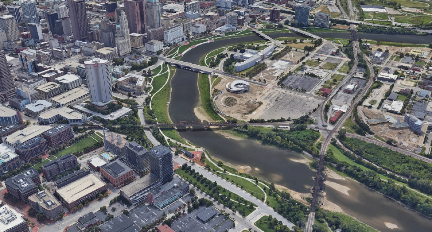
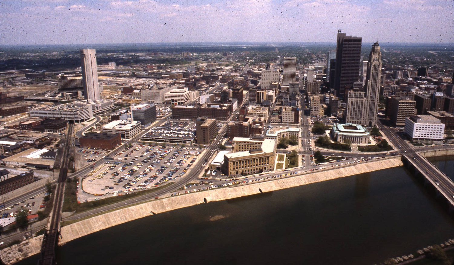
Before This much more modern image of Downtown and the riverfront was taken in 1980. After The 2019 Google Earth image from the same angle shows significant changes in 40 years. New skyscrapers and other development are obvious, but the massive changes to the riverfront itself almost make this look like a different city altogether.
What might these areas look like in another century?
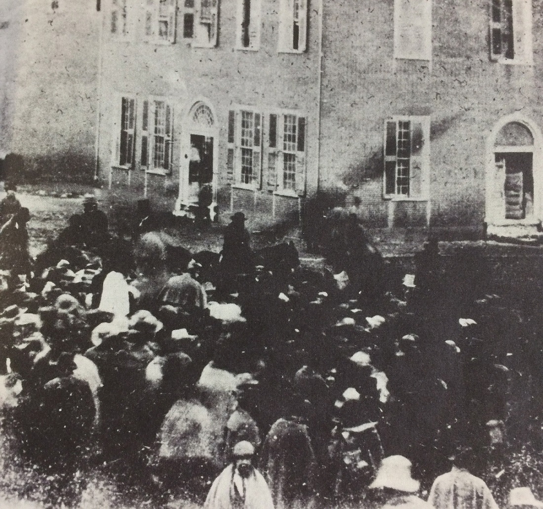
Photo Location: Broad and High Photo Date: Sometime in 1849 Photo History: Random Columbus photo 5 is one of the earliest ever known to have been taken in Columbus, and shows a group of bystanders looking at several people on horseback. The year this was taken, 1849, is significant in that it references the events taking place. 1849, of course, was the year that gold was discovered in California. The men on horseback are 49-ers, getting ready to depart Columbus to join the great California Gold Rush, and the crowd was gathered to see them off.
Click on the image for a better look.
Unfortunately, not much else is known about the photo, who the people were, or in what direction the photo was even taken.
Random Columbus photos 1 is the first edition in a new, very occasional series highlighting historic views in and around the city.
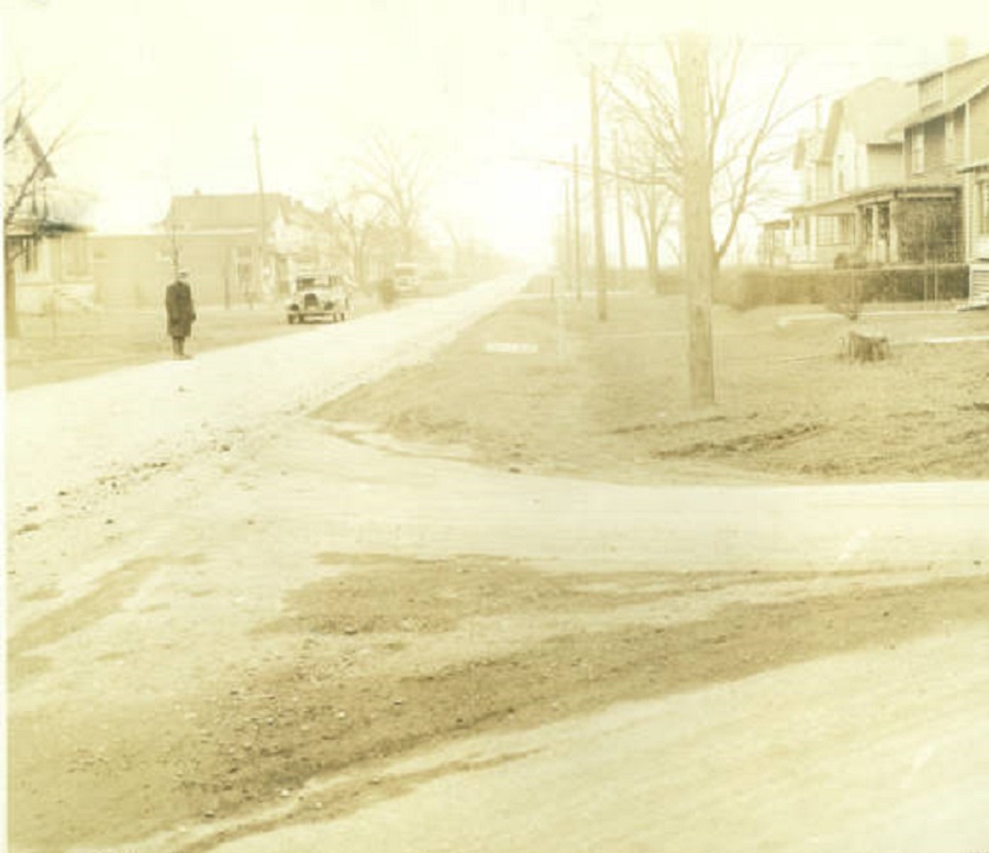
Photo Date: January 15, 1936 Location: Parkwood Avenue, East Linden
This random street scene photo was taken during the frigid winter of 1935-36. I couldn’t pinpoint exactly where the photo was taken, only that the style of homes indicates that it was taken looking north between Earl and Denune Avenues. Little has changed on Parkwood in the last 79 years. The area still looks and feels a little rural, and there are still no sidewalks. The one change, however, is that the roads are no longer dirt.
The day of the photo was fairly mild, with highs in the mid-40s. The next day, however, a snowstorm struck that dropped about 5″ of snow, and just a week later, temperatures hit 16 degrees below zero.