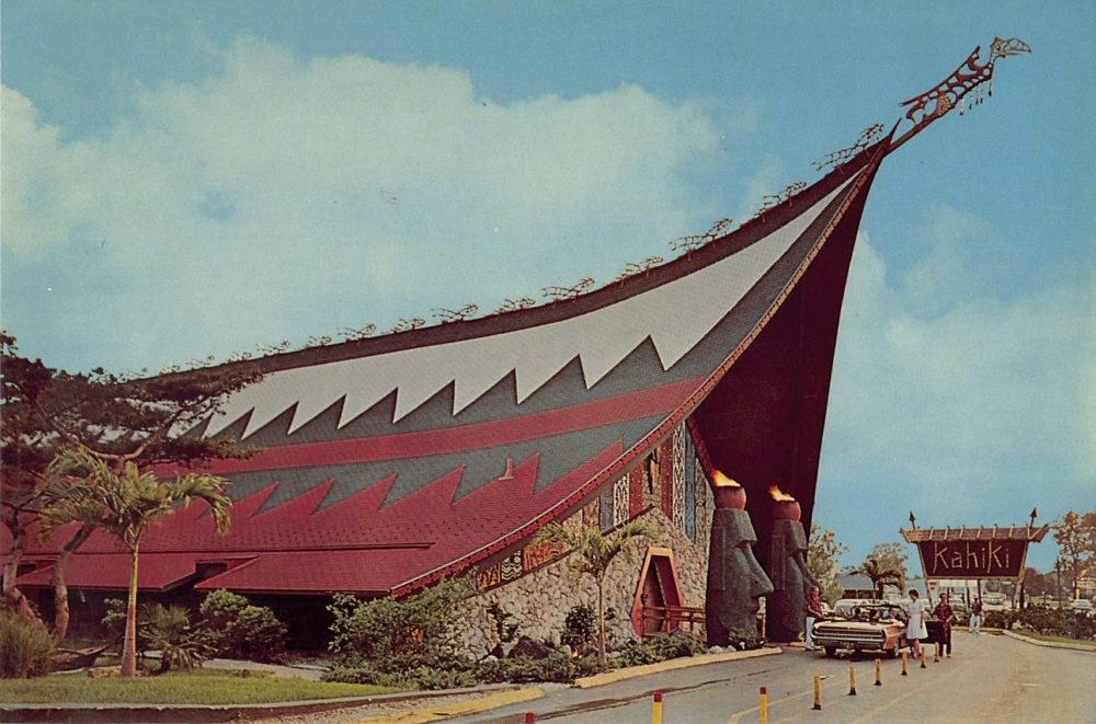
Ever looked at a building and wondered if it was ever a former Pizza Hut? Or wanted to know how long Kahiki was in business? Columbus Restaurant History is a fantastic link for all of the local area’s foodie history. Not only are there stories about individual restaurants and chains, but you can look up former restaurant locations, dates of existence, old menus and so much more! It’s just a really cool link for a niche part of Columbus’ history.
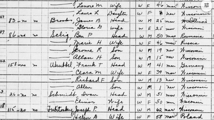
In today’s edition of the series, we have a Cool Link for the 1950 Census. 1950 census data was already available on different websites, but it was general population and demographic data only. The National Archives and Record Administration, or NARA, has now released complete records. Many of these records were unavailable to the general public prior to this release because the data fell under what’s called the “72 Year Rule”, in which the US government will not release any personally identifiable information until 72 years has passed after the date of data collection. With the 1950 Census, that time has come.
You can search the records by place, record type or even by a person’s name. This is great not only for historic population and demographic data, but also for genealogical research into family histories.
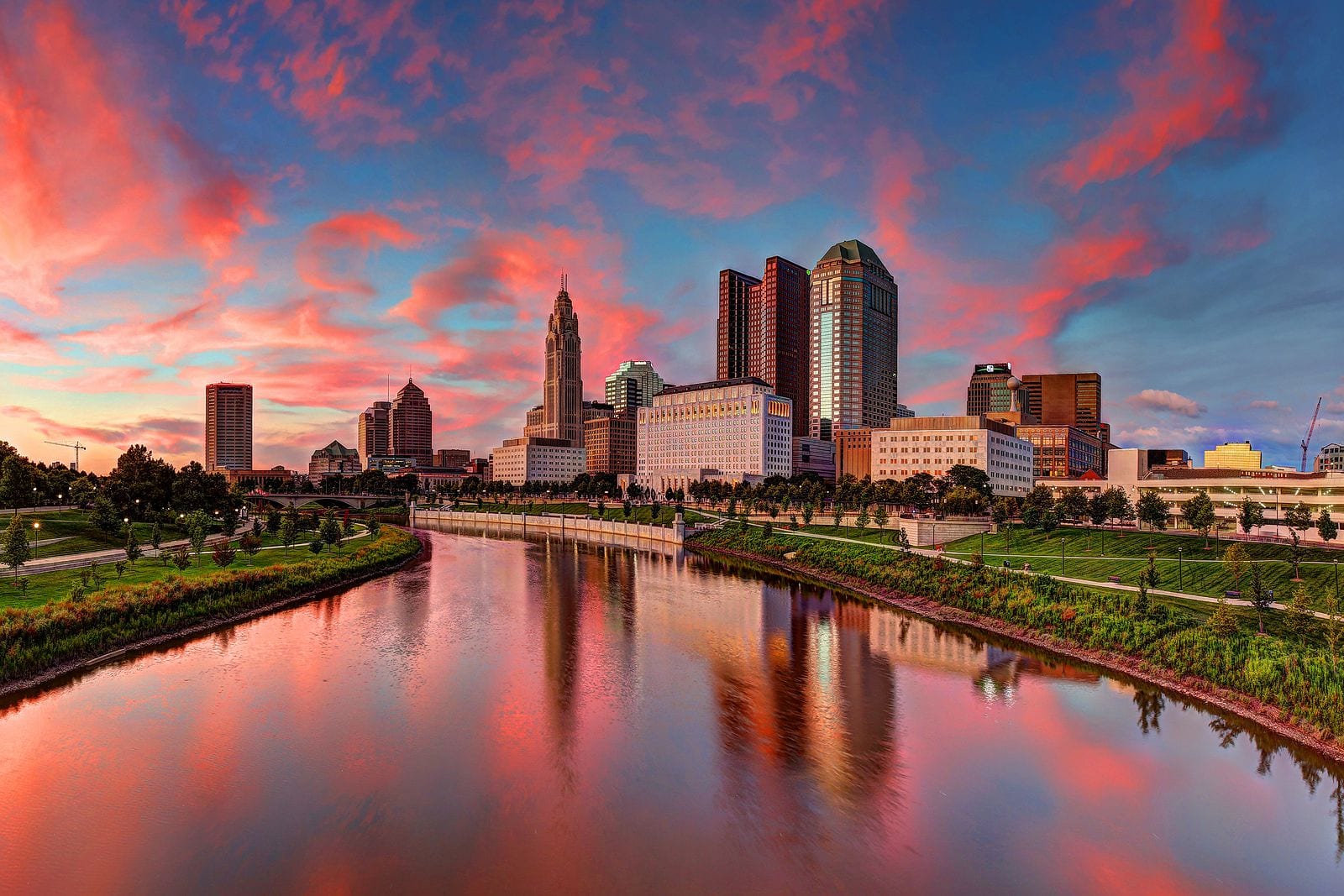
Capital Crossroads has released its latest report for the state of Downtown. The annual report includes population estimates, information on construction and more.
For 2021, Downtown’s population reached 11,200, and is expected to rise to around 15,000 over the next 3 years.
In the last few decades, the Columbus Bhutanese community has grown into one of the largest in the world outside of Bhutan, itself. Many of these immigrants were resettled in other parts of Canada and the US, but an increasing number of them have made their way to Columbus and Central Ohio. According to the Bhutanese Community of Central Ohio, the area’s Bhutanese population now numbers upwards of 27,000, and projected to surpass 30,000 over the next few years.
This community has already made a local impact, opening new restaurants, shops and cultural and religious centers across the city and region.
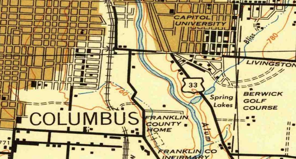
This link is a great resource to find old local maps for cities, counties and states from the US to around the world. For Columbus, maps go back to the 1920s, but other locations have even older versions. The maps are helpful for those doing research on this history of their cities.
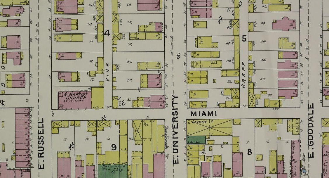
Another favorite link is the Sanborn Fire Insurance Maps. These maps are even more detailed and you can view individual buildings down to the street level back to the 19th Century. These maps are available at the Library of Congress and require a bit more searching to find what you’re looking for.