Just a few May project updates. These represent only a small fraction of what’s going on in terms of local development.
Downtown
1. Neighborhood Launch’s expansion with a pair of new 5-story buildings containing 260 apartments continues. Located on E. Long Street, the buildings’ foundation work has been mostly completed and elevator shafts and the first steel frames are now going up, which means construction should really get going now. The timetable for these to be complete is late fall or winter.
2. Over at Columbus Commons, the Highpoint 300-unit residential project continues and at least one of the buildings is now reaching towards its 6th and final floor.
3. The Liberty Place 200+ unit residential expansion in the Brewery District is getting closer to being done with the external work, as brick and finishes are going on.
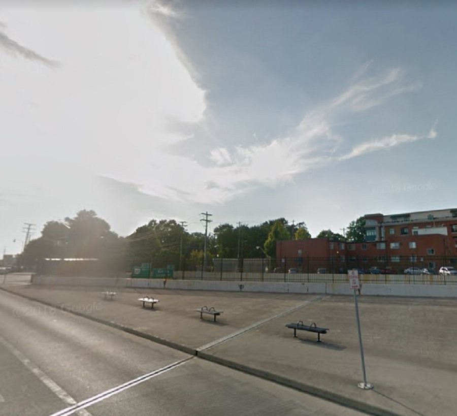
4. The mess that is the reconstruction of 670/71 also continues, but we’re still a year or so away from that being done… before the next phase begins closer to the 70/71 section.
5. Work continues on the restoration of the LeVeque Tower, but more details have emerged. Up to 70 residential units will be created in the tower section, along with lower floors having a new boutique hotel and office space. The lobby will be restored to its original 2-story look, and the entrance outside will get new marble, planters and lighting. The terra cotta exterior of the building will take up to 5 more years to complete, as 80 years of grime and damage have to be fixed. The other improvements should be done late this year or early next year.
6. Columbia Gas’ new HQ building in the Arena District has reached it’s maximum 6-story height with steel, but no exterior work is done yet.
7. The Flats II 120-unit residential building next door to that project is seeing exterior work being done and should be done later this summer or early fall. Reports have been coming out showing this and other residential projects nearby have extremely high rental interest already.
8. 600 Goodale, the 5-story 174-unit residential building is seeing exterior work now and should be done by the end of summer or fall.
Short North
1. Aston Place, a new residential project on Hubbard Avenue, is moving along and the elevator shaft is just about done, so steel should be going up soon.
2. The Hubbard project continues to the east. The 5-story, 68-unit residential building is all framed out and exterior work is beginning. The adjoining parking garage is complete and the 4 concealing townhomes should begin construction soon.
3. The Out of the Closet development at 5th and High is well underway, now completely framed out.