What the Intel Semiconductor Fabs Mean for Columbus


What the Intel Semiconductor Fabs Mean for Columbus

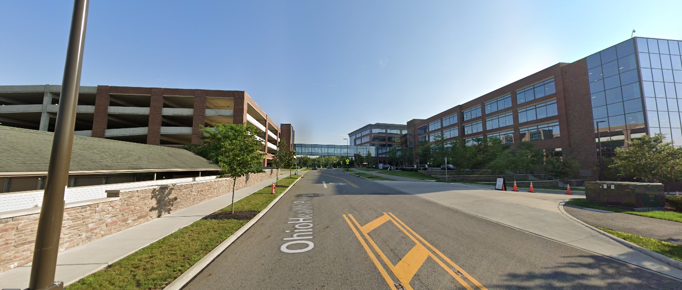
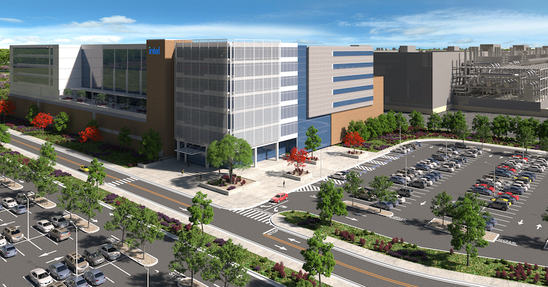
The Columbus area will soon be home to Ohio’s largest private investment in history with the Intel semiconductor fab planned for the Franklin County/Licking County line in New Albany. While this is not within Columbus itself, this project has massive implications for the city, region and possibly even Ohio overall. Let’s examine exactly what the Intel semiconductor fabs mean for Columbus, and some of the potential impacts the project may have for years to come.

What is it?
Semiconductors -at their most basic- conduct electricity, and are essentially what are used to make microchips. As such, they are crucially important for virtually all types of electronics, from cars to computers to ATMS to household appliances. Because they are so important, everyone needs them. Unfortunately, however, their production is more complex than many other types of manufacturing. Their production plants require large amounts of power and water, and manufacturing areas have to be free of things like static electricity and humidity, which can damage semiconductors. Furthermore, the jobs typically require specialized training and degrees. What all this means is that building a semiconductor factory- or fab- is enormously expensive. A single fab can easily cost $10-$20 billion, so there aren’t that many companies in the world that can actually build them- in fact, there are currently just 38 companies in the entire world capable of manufacturing them.

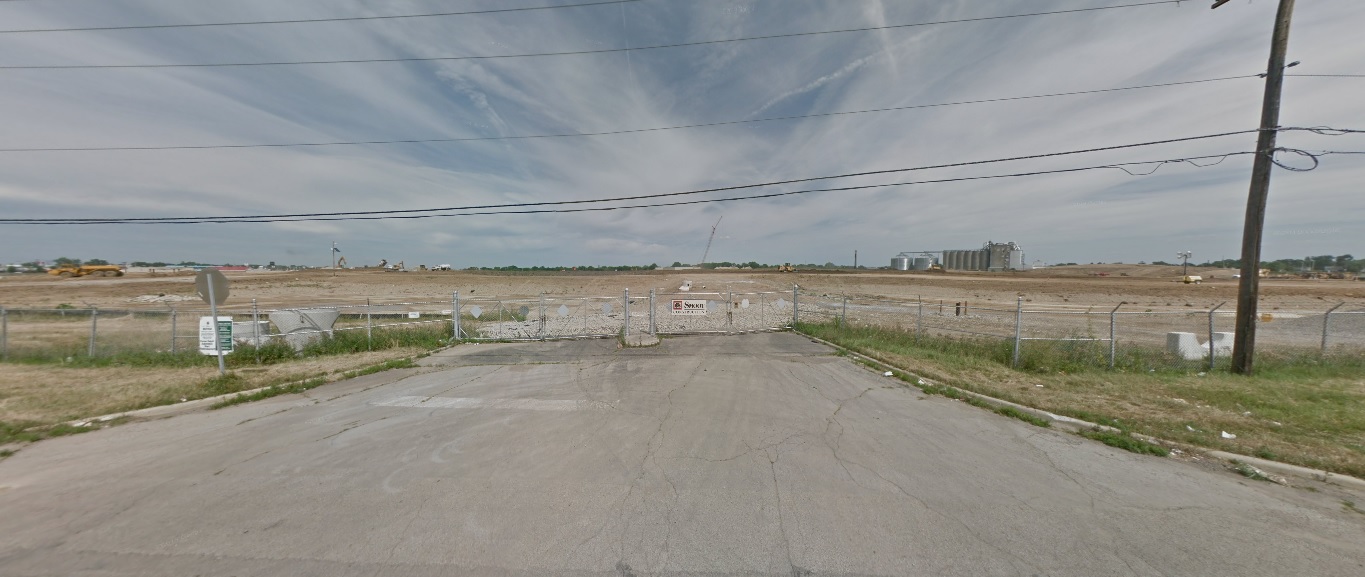
The proposed fab in New Albany is significant in several ways. First of all, as mentioned above, it will be Ohio’s largest single private investment in history, significantly more than any auto manufacturer or other industry. The first phase of the project has been announced, and will include two fabs at a cost of $20 billion, and will provide 3,000 direct jobs, 10,000 ancillary jobs and 7,000 construction jobs. The fab jobs will have an average salary of $135,000, about 2.5x the Ohio average. While this first phase is huge on its own, it seems that it will just be the beginning.

For some time, Intel has been talking about building a “mini-city” type development somewhere in the US. This mini tech city would include up to 8 or more fabs, and along with supporting development would be an investment greater than $100 billion. When news first broke about the New Albany project, there was some speculation that this site would be where this gigantic development would go, especially given that it included more than 3,000 acres of available land. Now, it seems that we have confirmation that Central Ohio is indeed the location of this mini city. In a recent Time article, this section stood out:

“Our expectation is that this becomes the largest silicon manufacturing location on the planet,” Intel CEO Pat Gelsinger told TIME; the company has the option to eventually expand to 2,000 acres and up to eight fabs. “We helped to establish the Silicon Valley,” he said. “Now we’re going to do the Silicon Heartland.”

So now that Central Ohio is about to rocket to the potential forefront of microchip manufacturing on a global scale, what might be the consequences long term?

Impacts

It’s hard to overstate how significant this development will be for the Columbus area. Here are just a few.

Housing Market
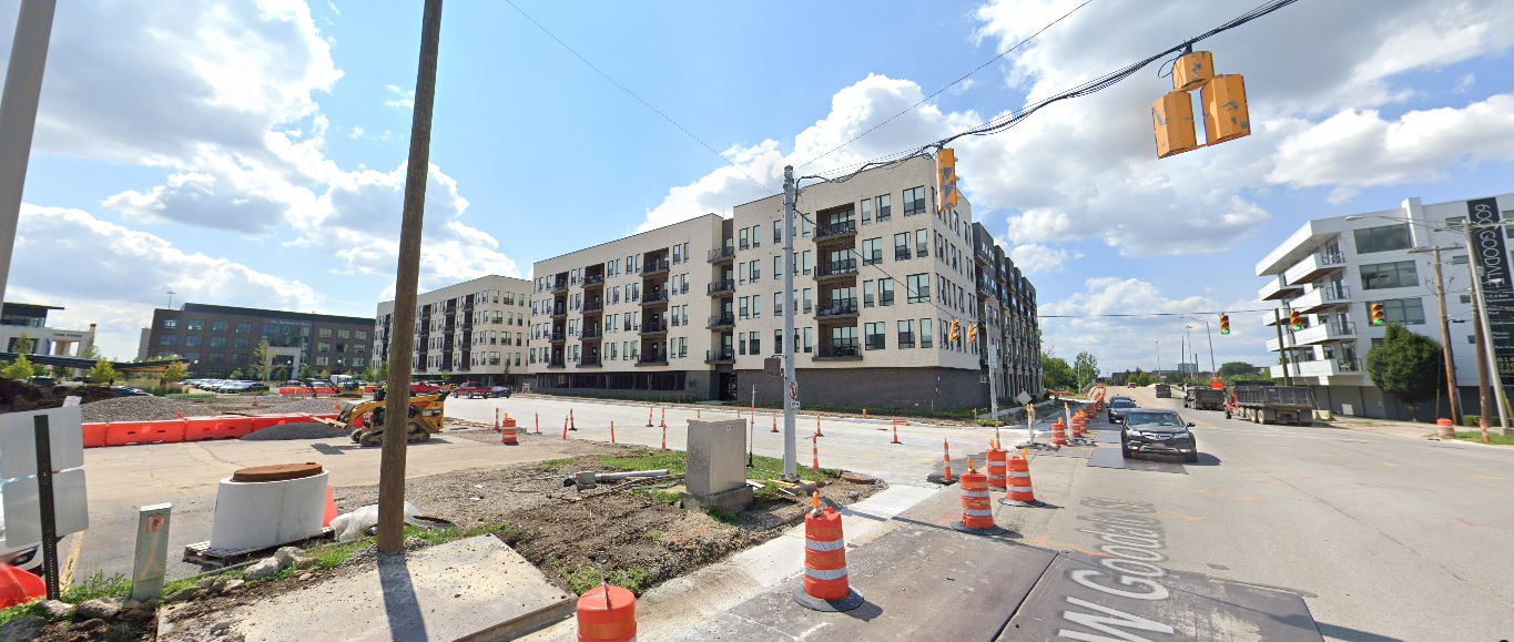
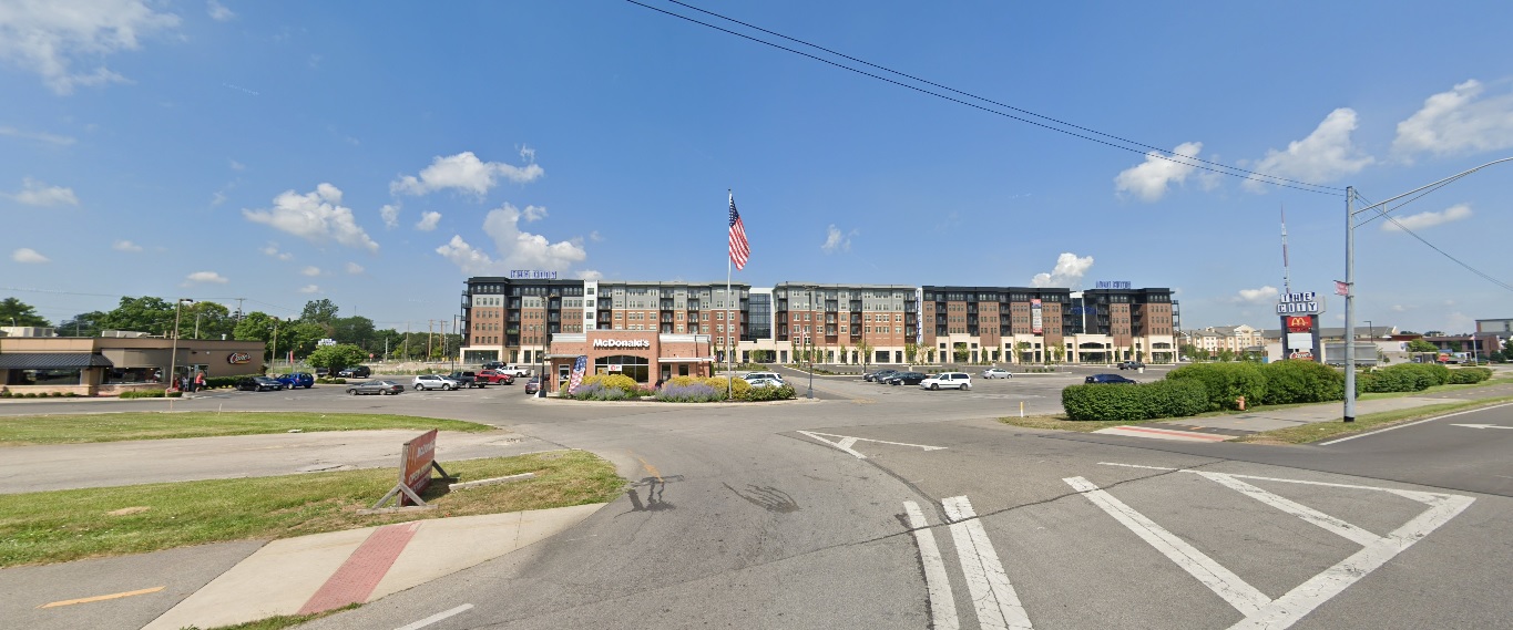
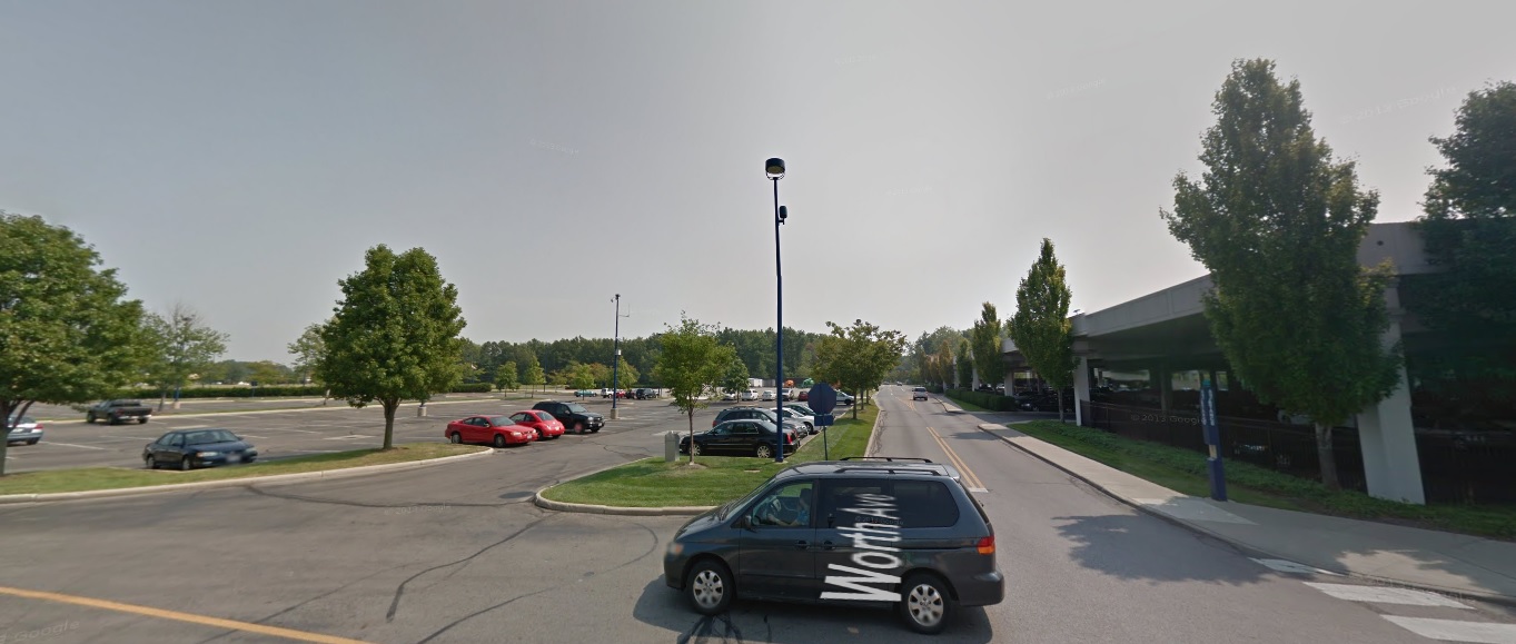
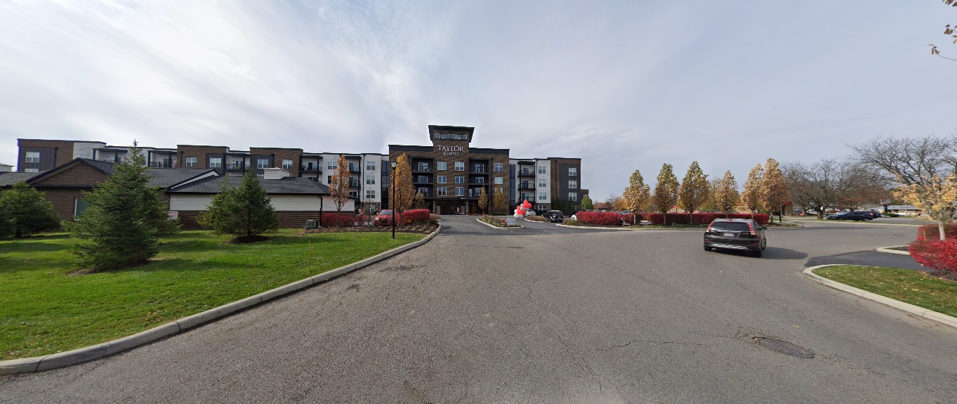
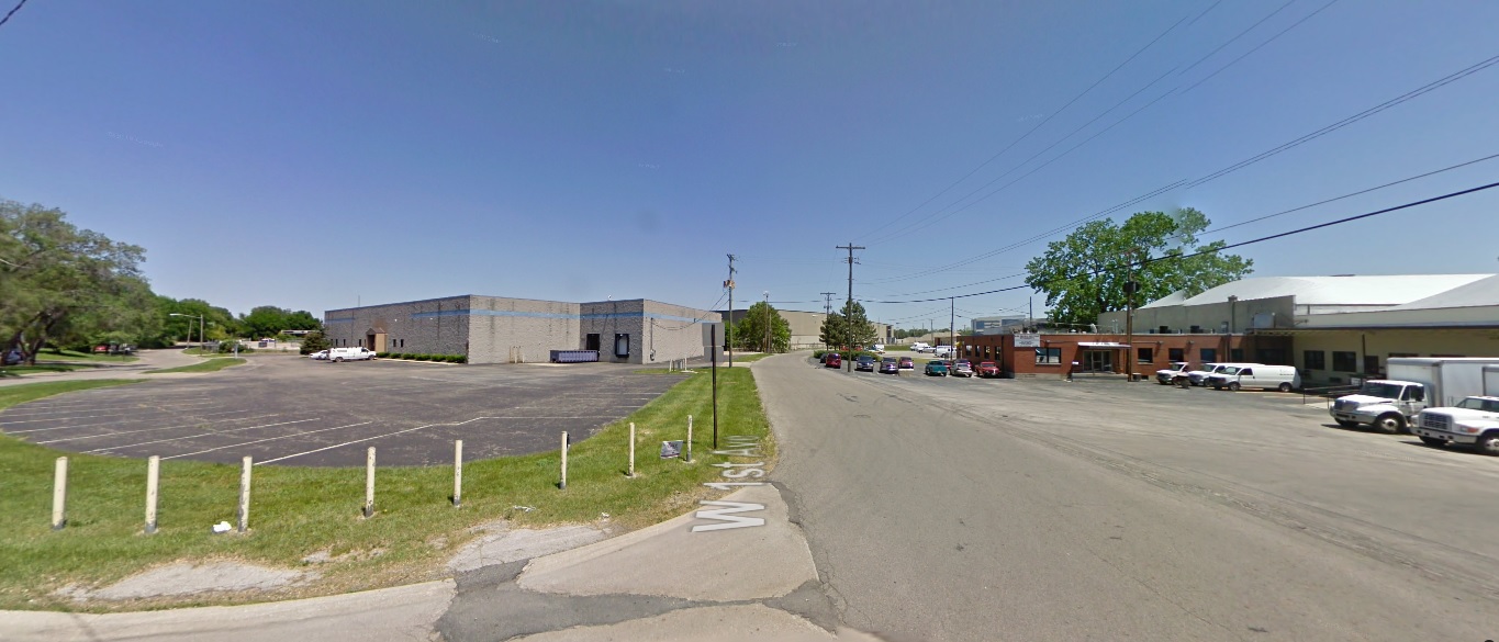
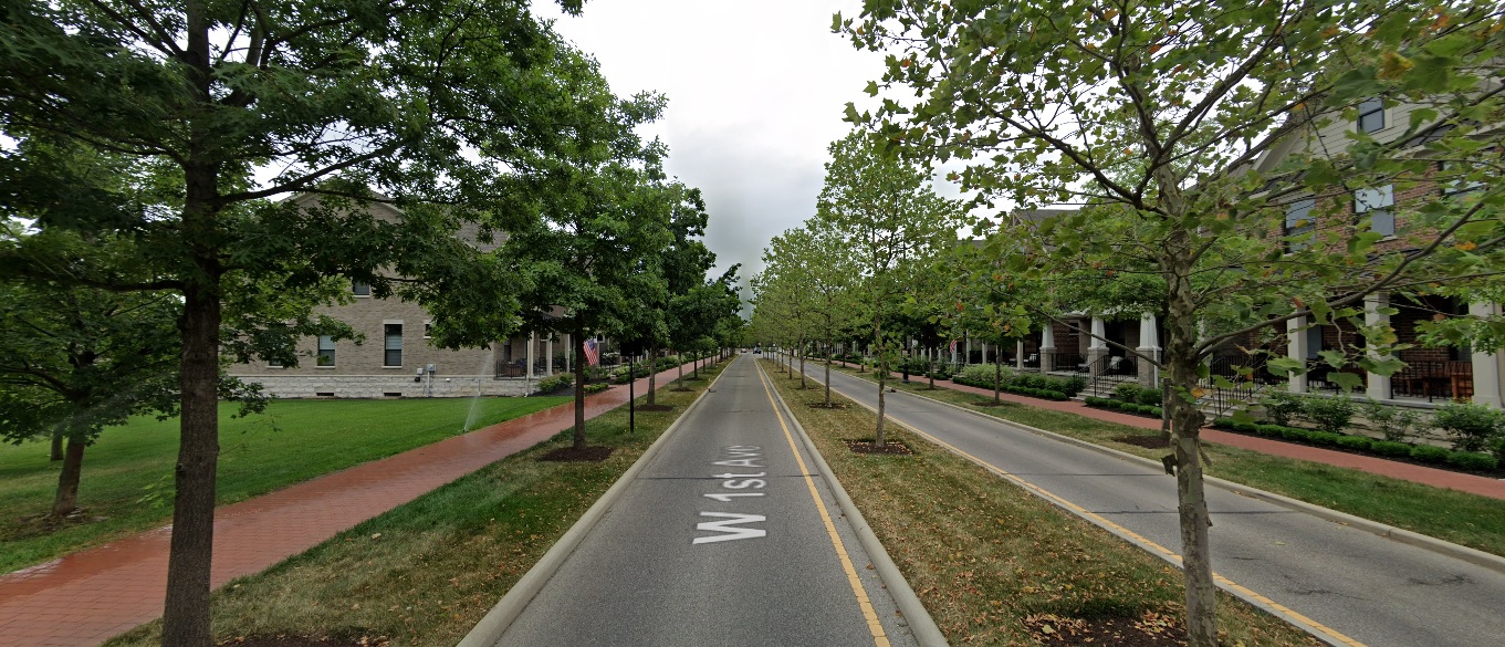
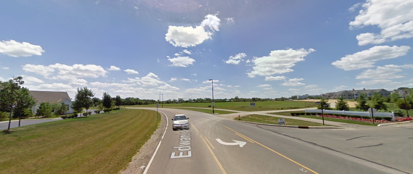
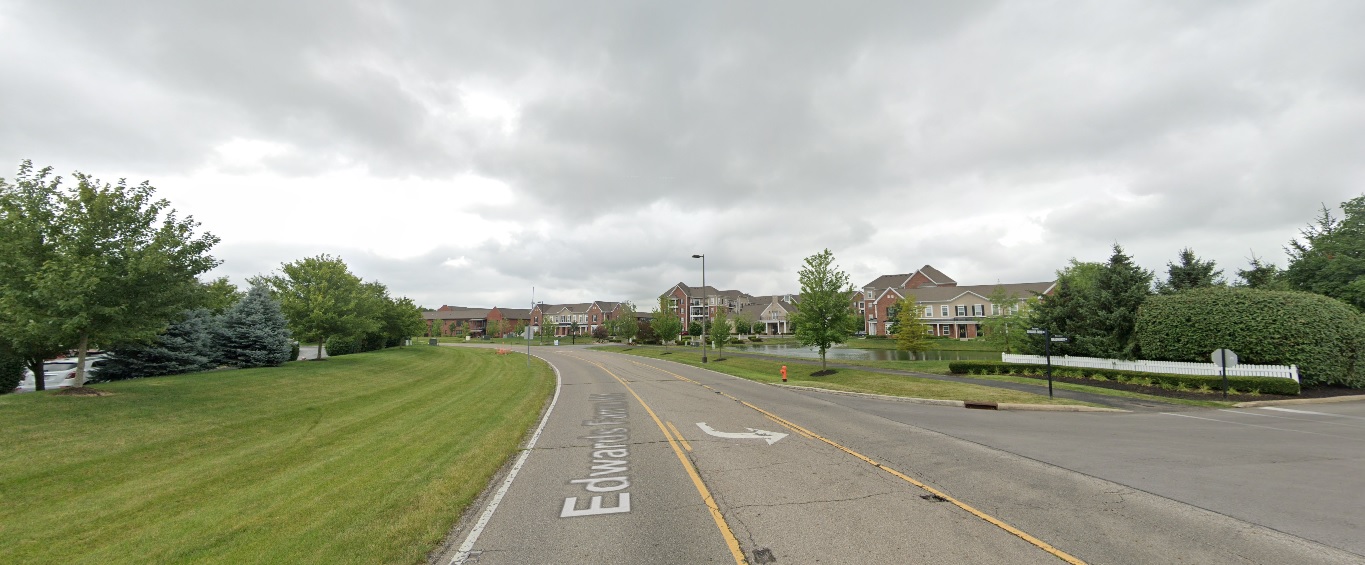
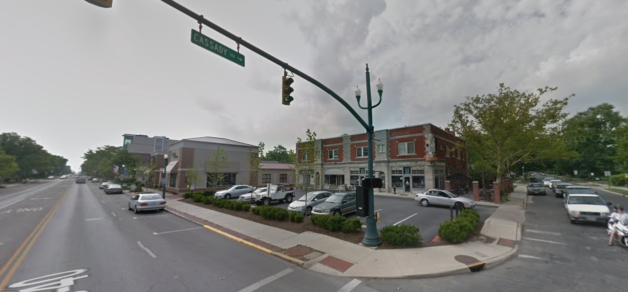
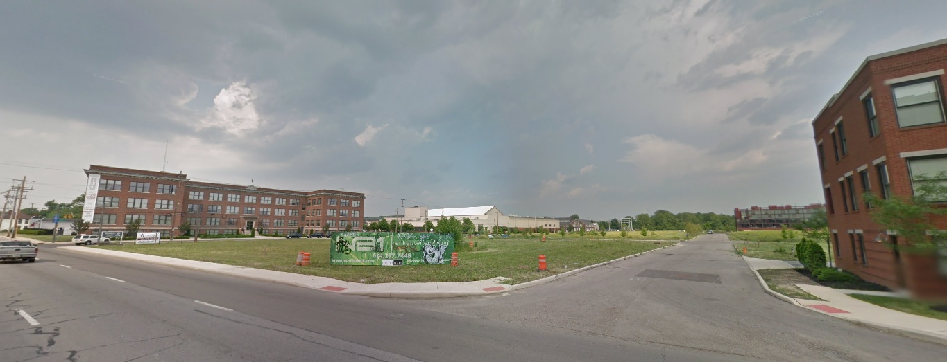
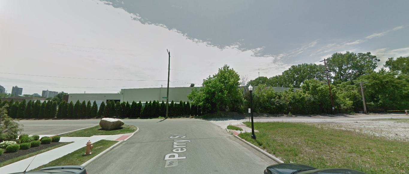
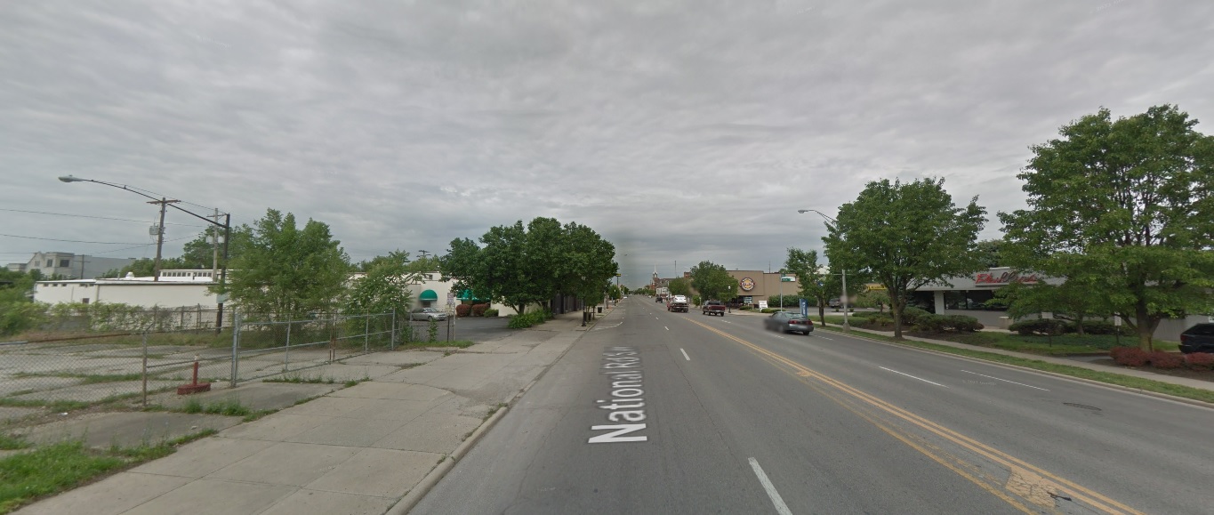
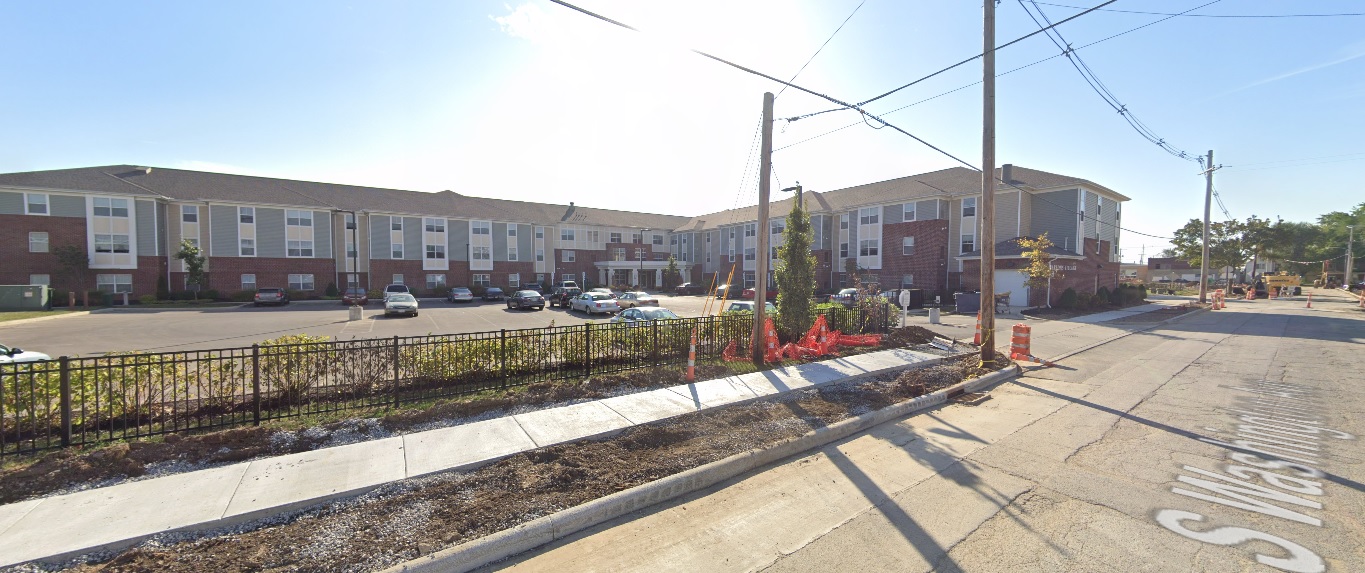
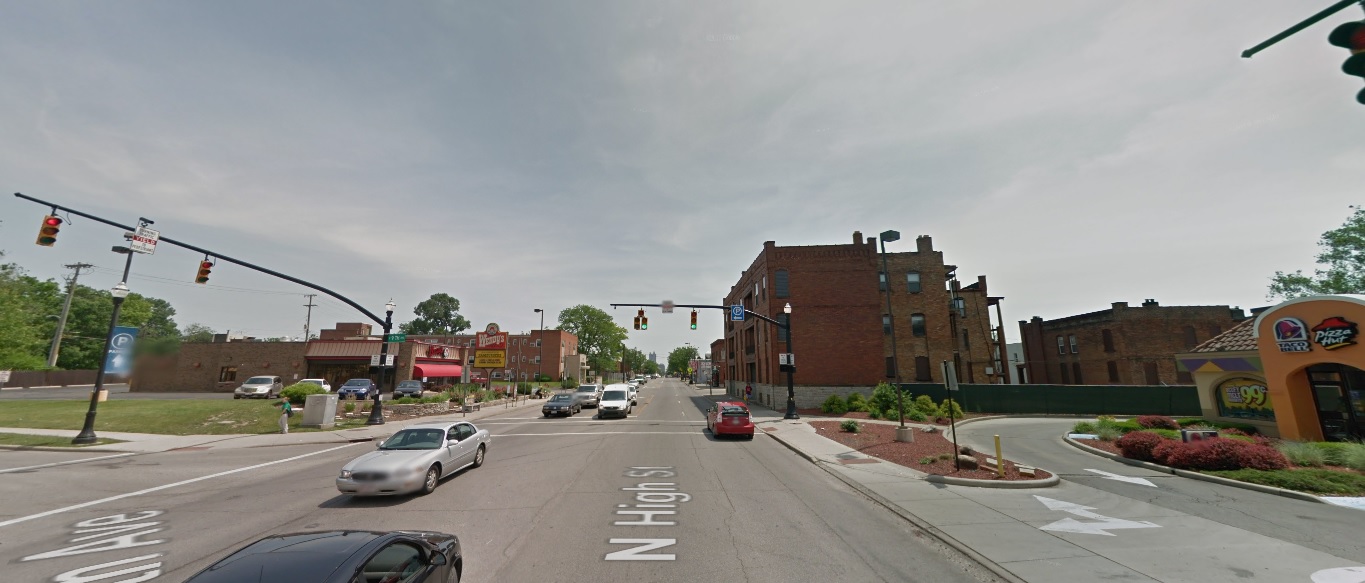
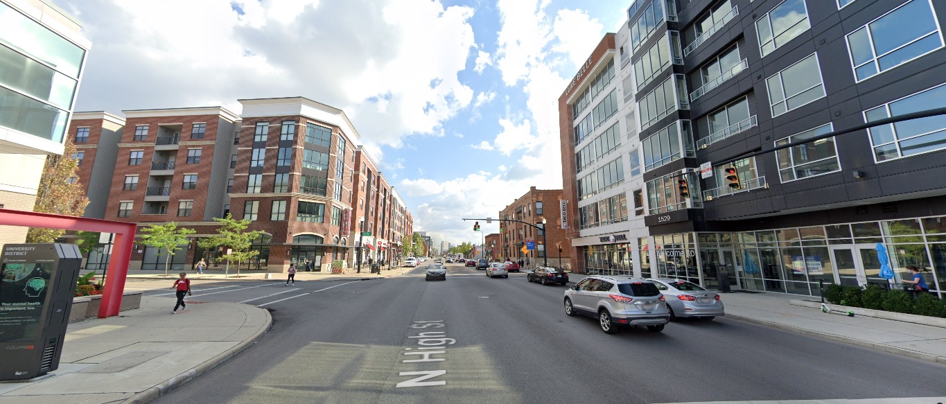
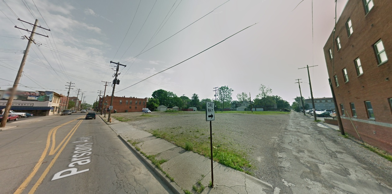
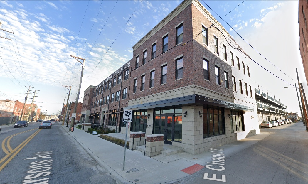
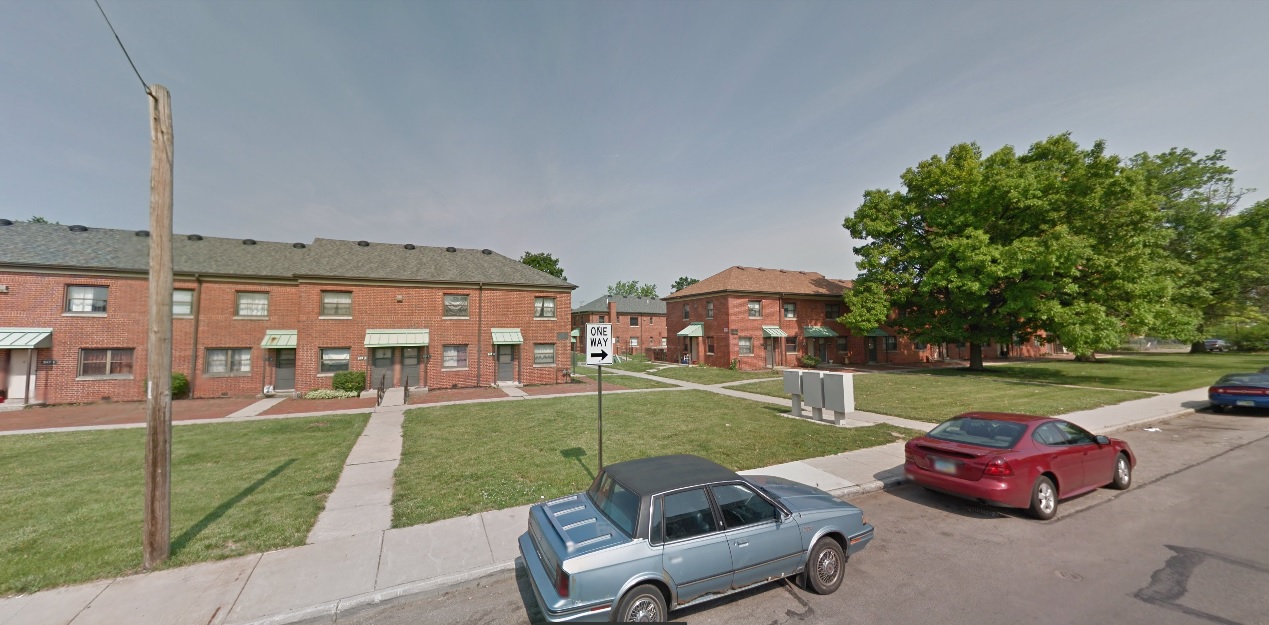
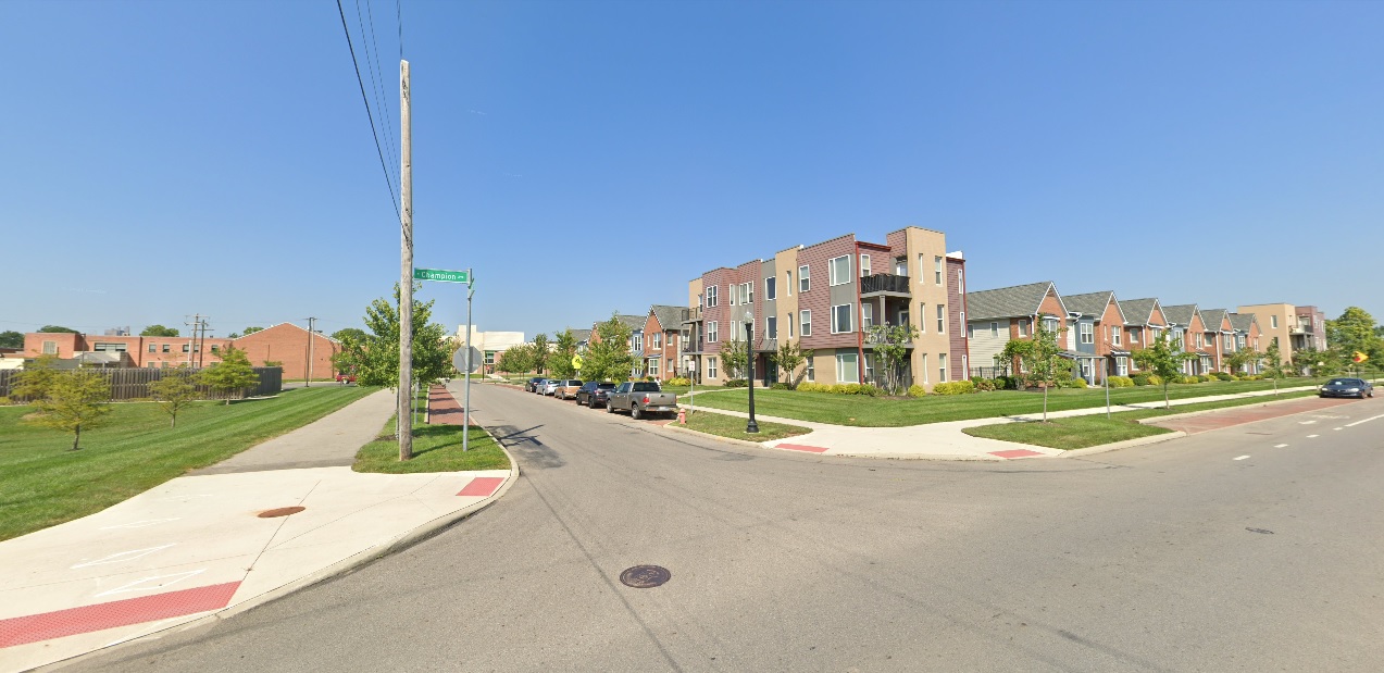
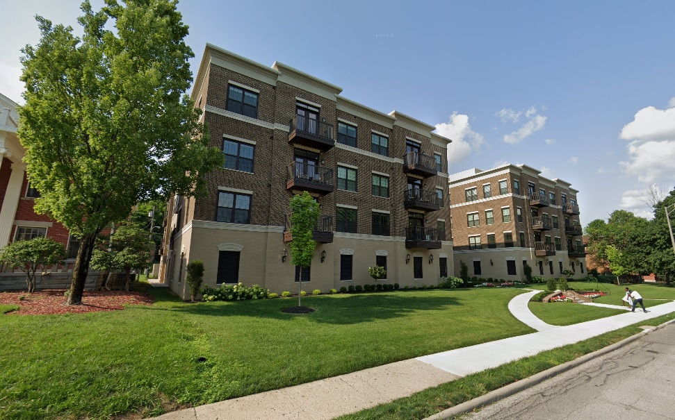
While the effects of this project won’t be felt by most right away, the areas and communities nearest to it will likely see home prices escalate fairly quickly. Places like Johnstown, New Albany, Alexandria and Granville, among others, will likely see the fastest- and most significant- realization of this increase, but virtually every community within 50 miles will likely see upward pressure- certainly including Columbus, which will probably end up with a healthy majority of any new workers into the region.
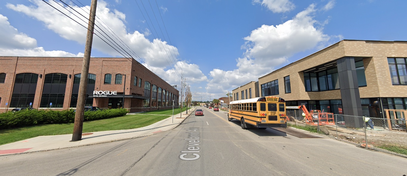
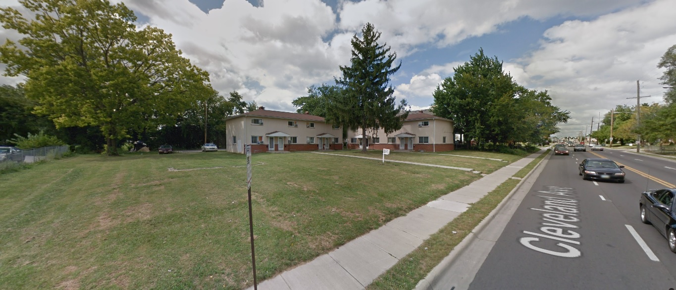
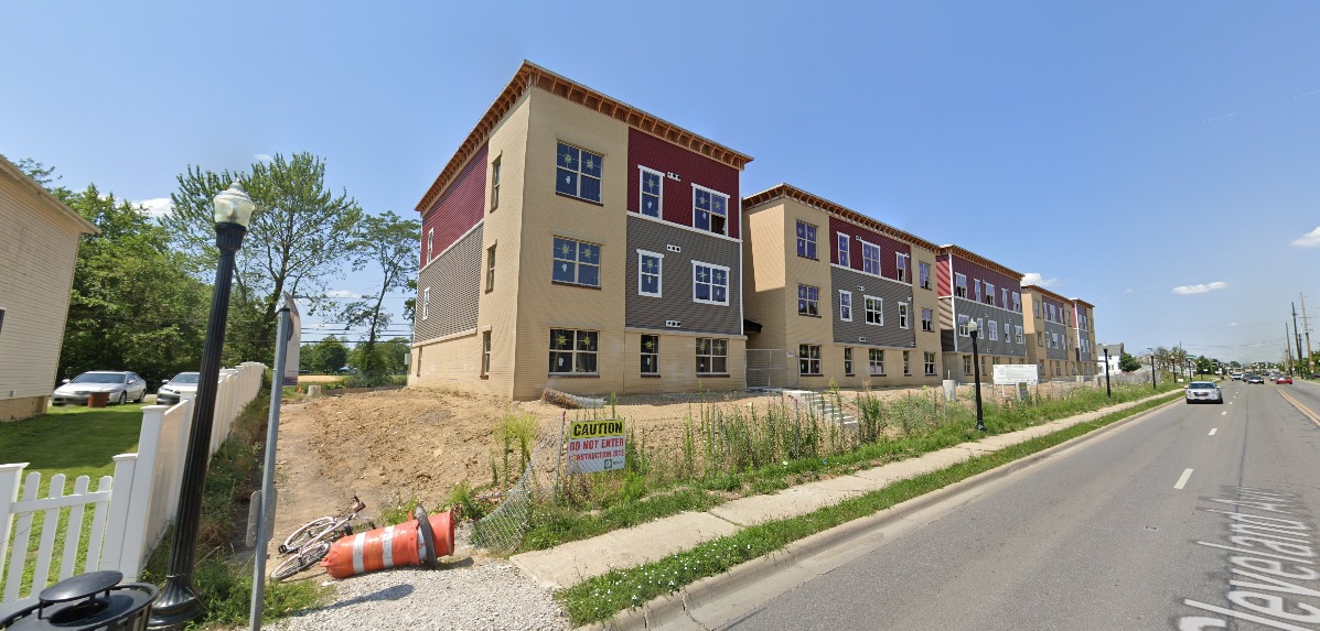
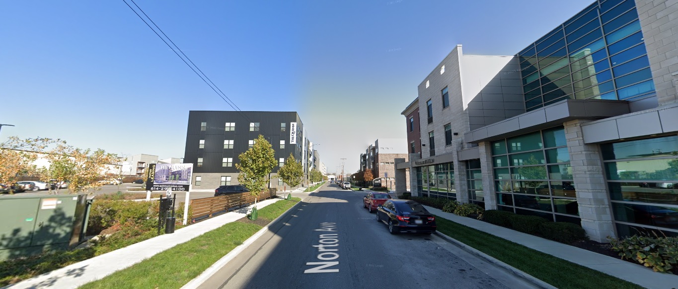
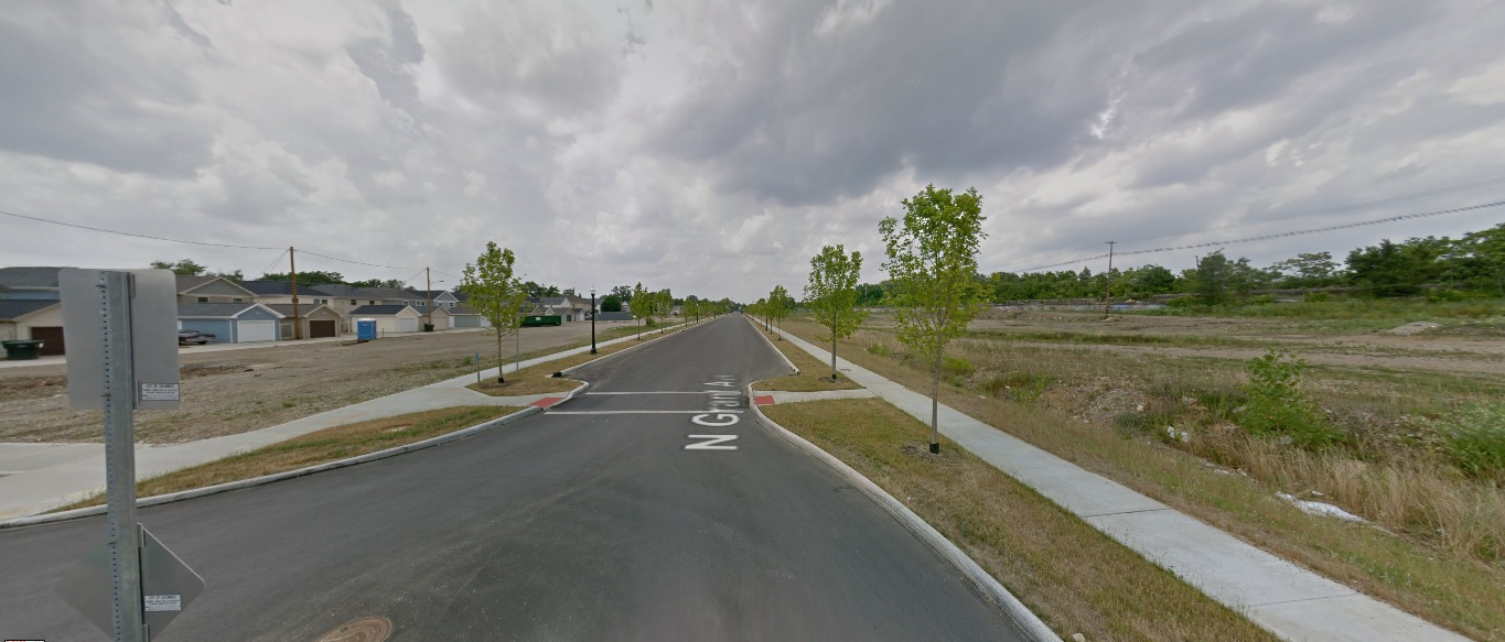
What that means long term is that housing construction will also explode. The region, if anything, has been underbuilding for years despite high demand. Even before this news, it was estimated that Central Ohio needed roughly 2x-4x the residential units constructed each year just to meet existing demand. Because of that existing issue, the area has faced a deep housing shortage and a near monthly new median housing price record.
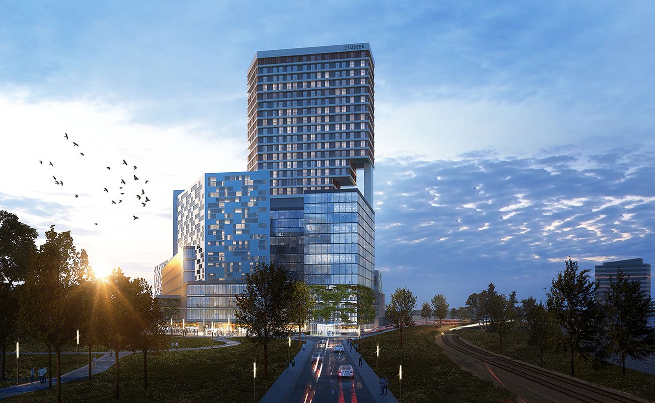
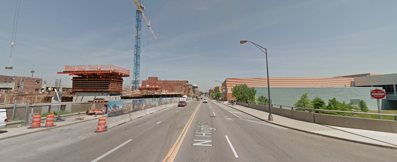
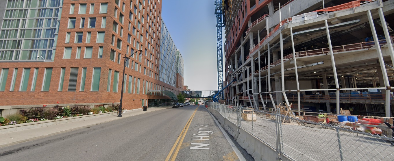
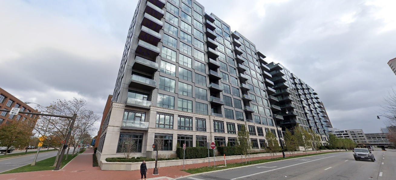
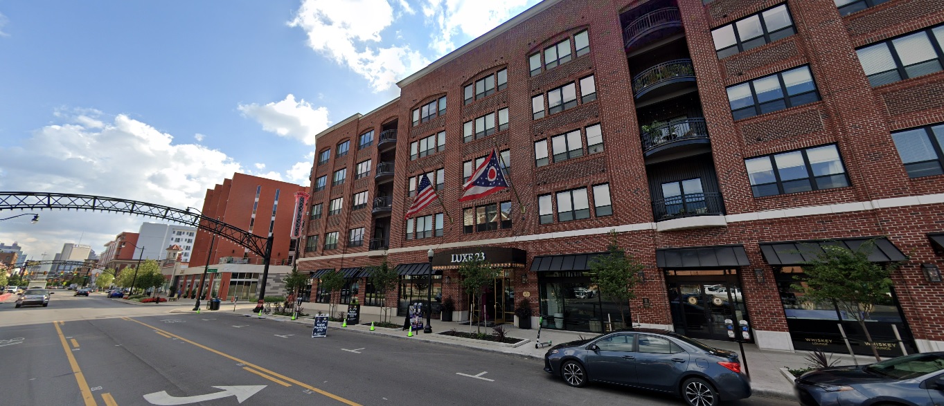
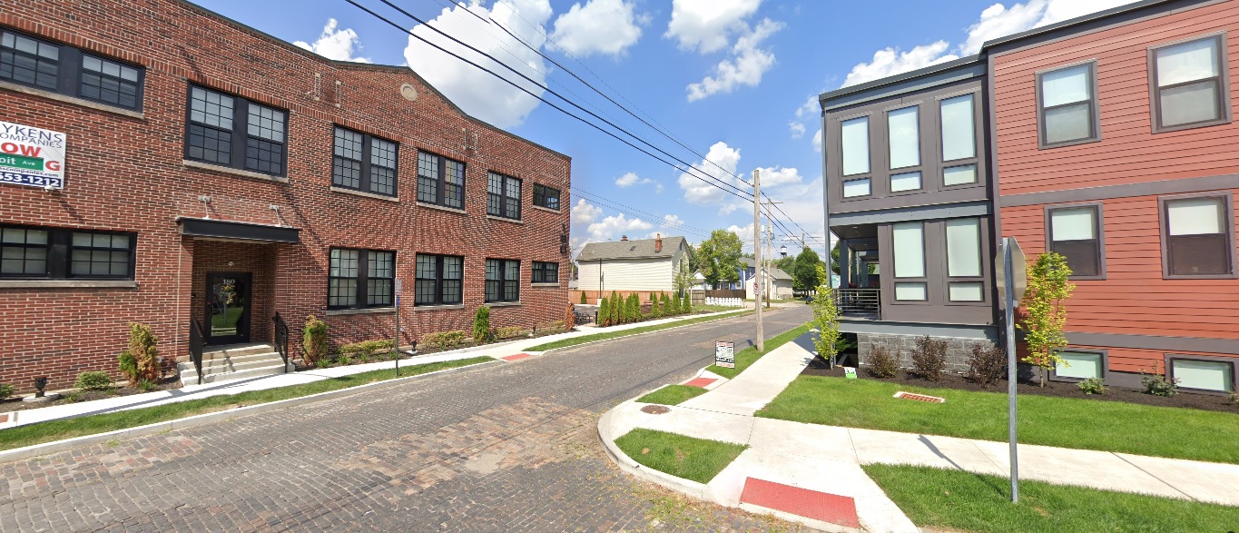
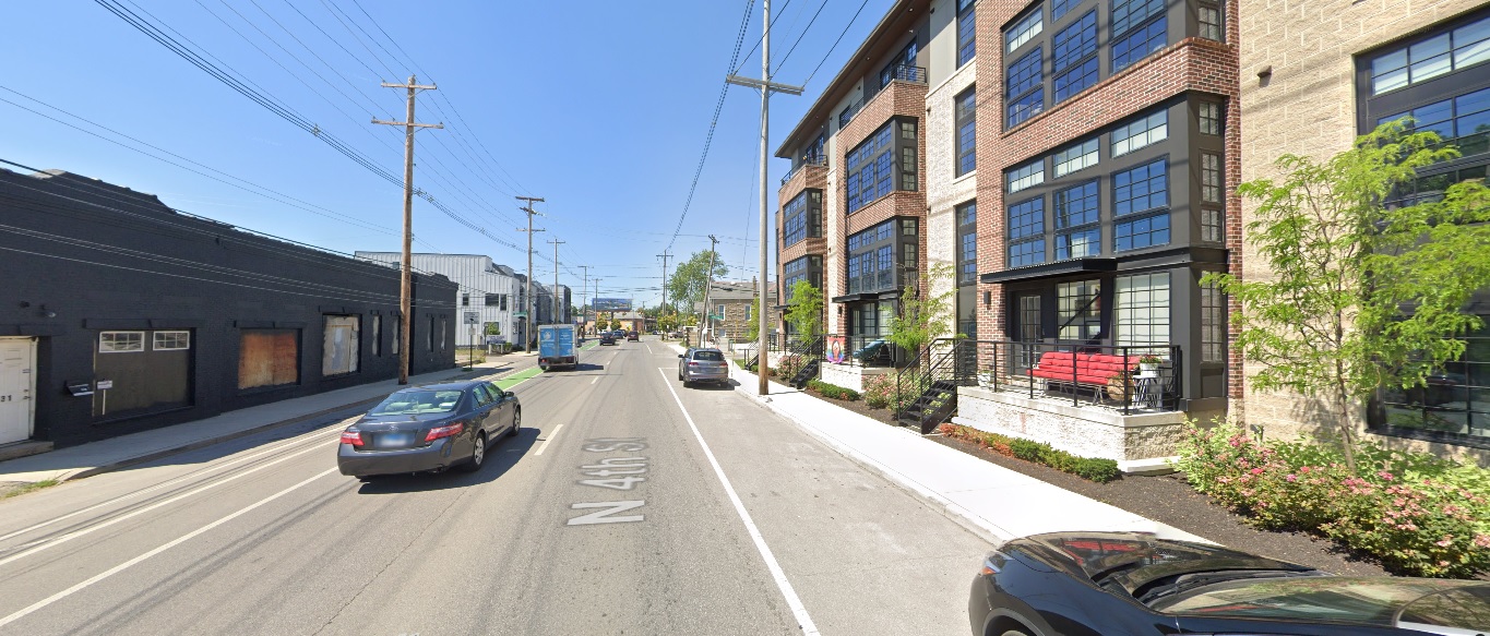
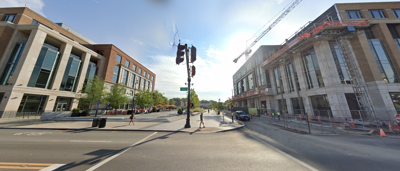
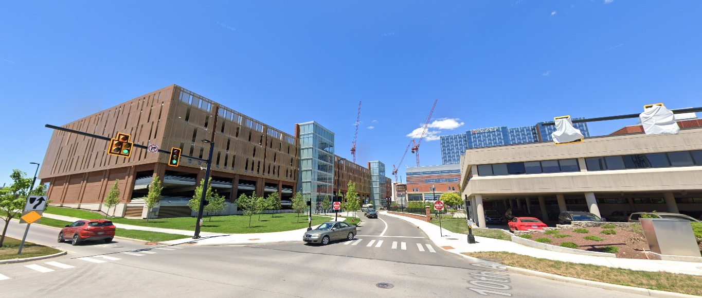
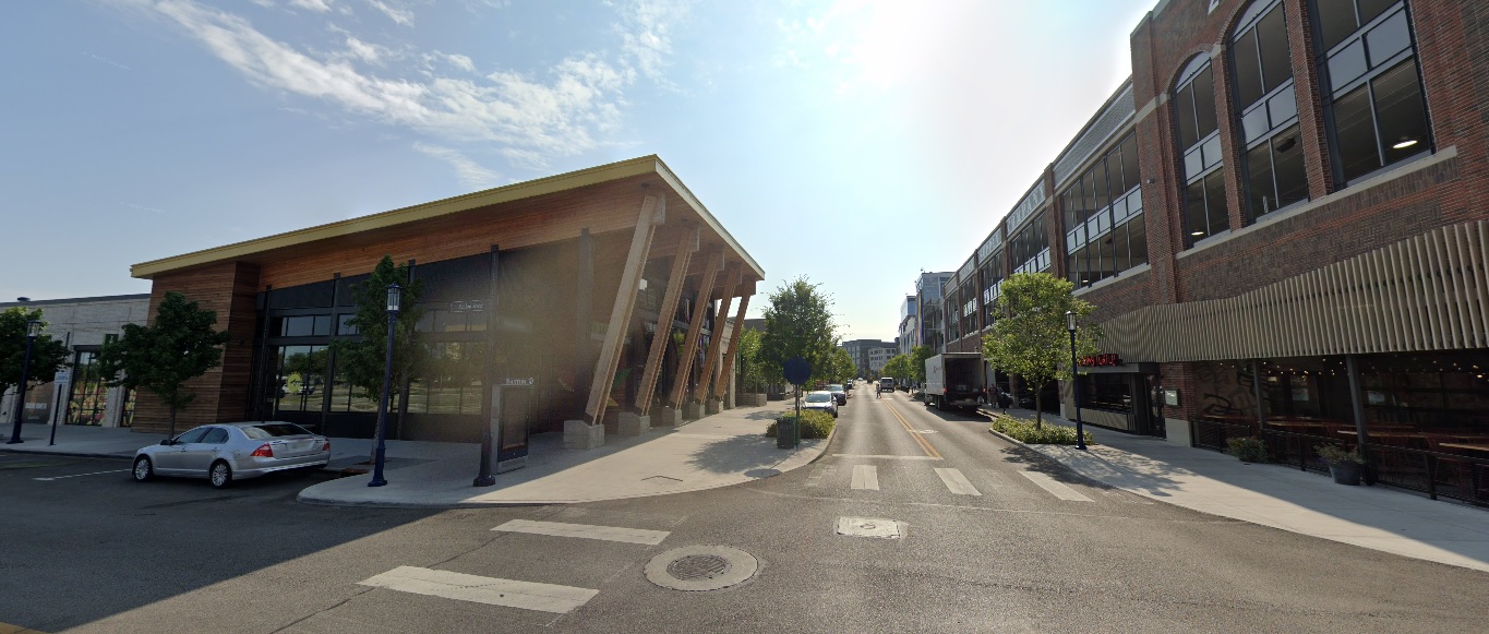
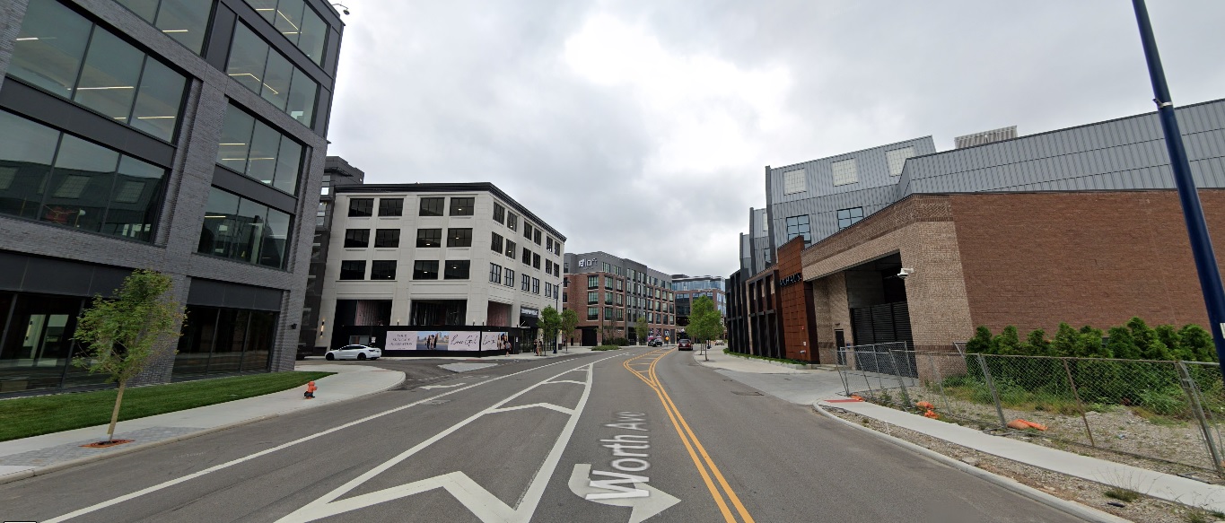
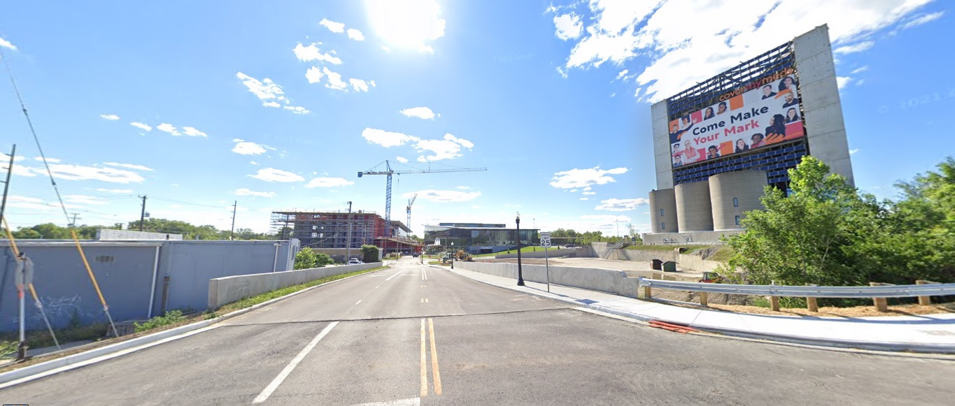
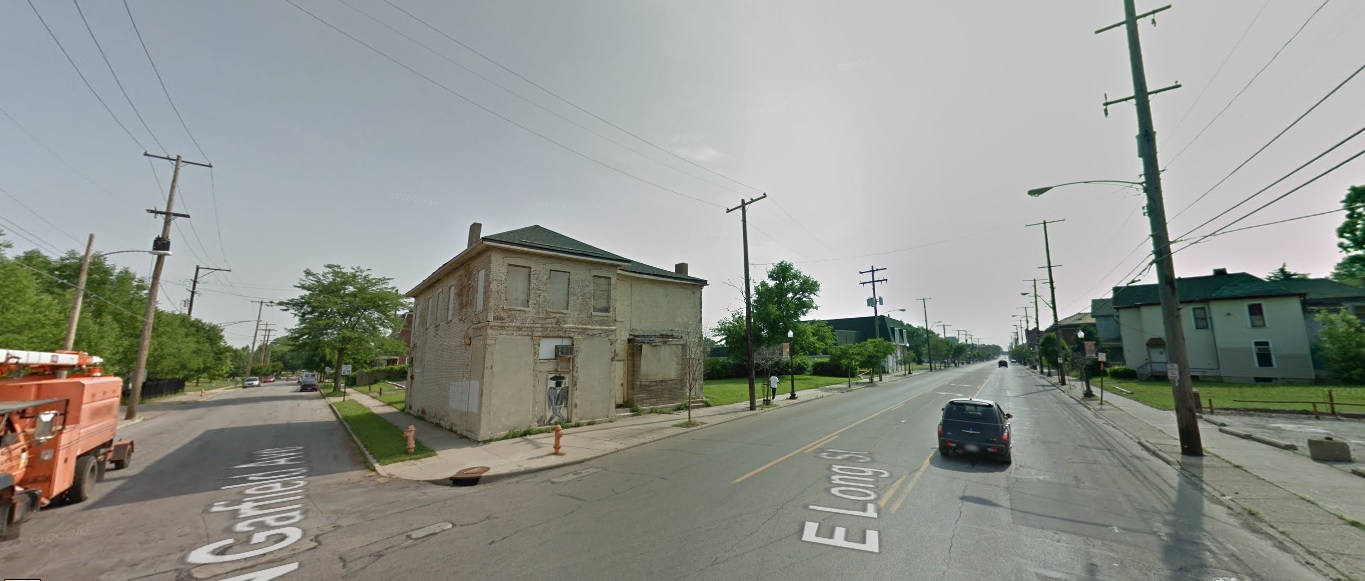
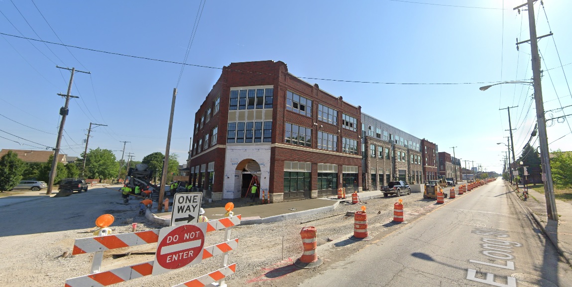
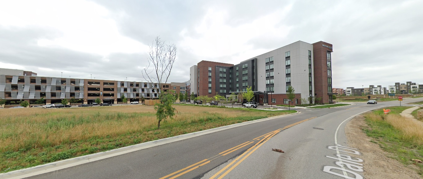
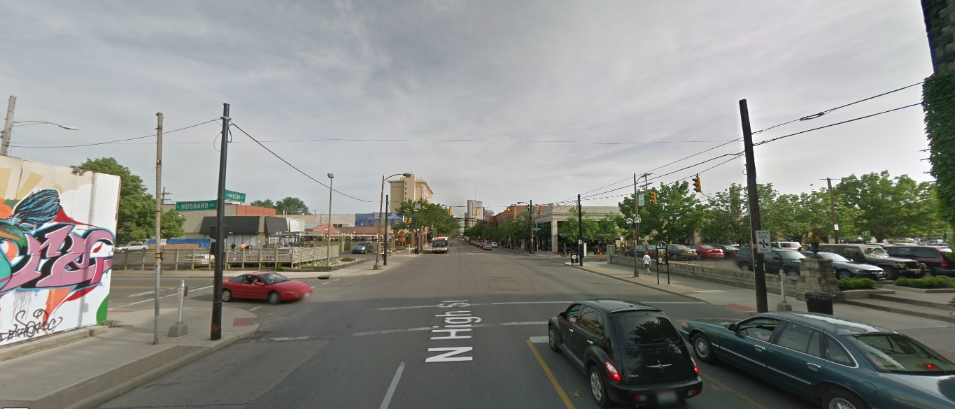
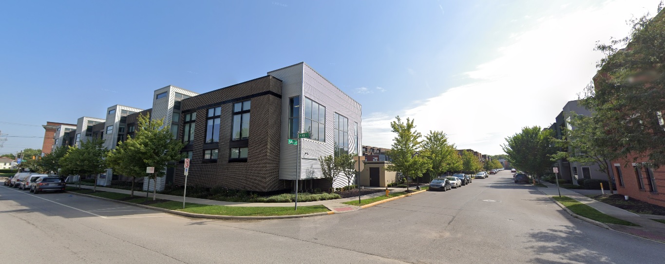
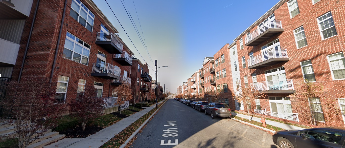
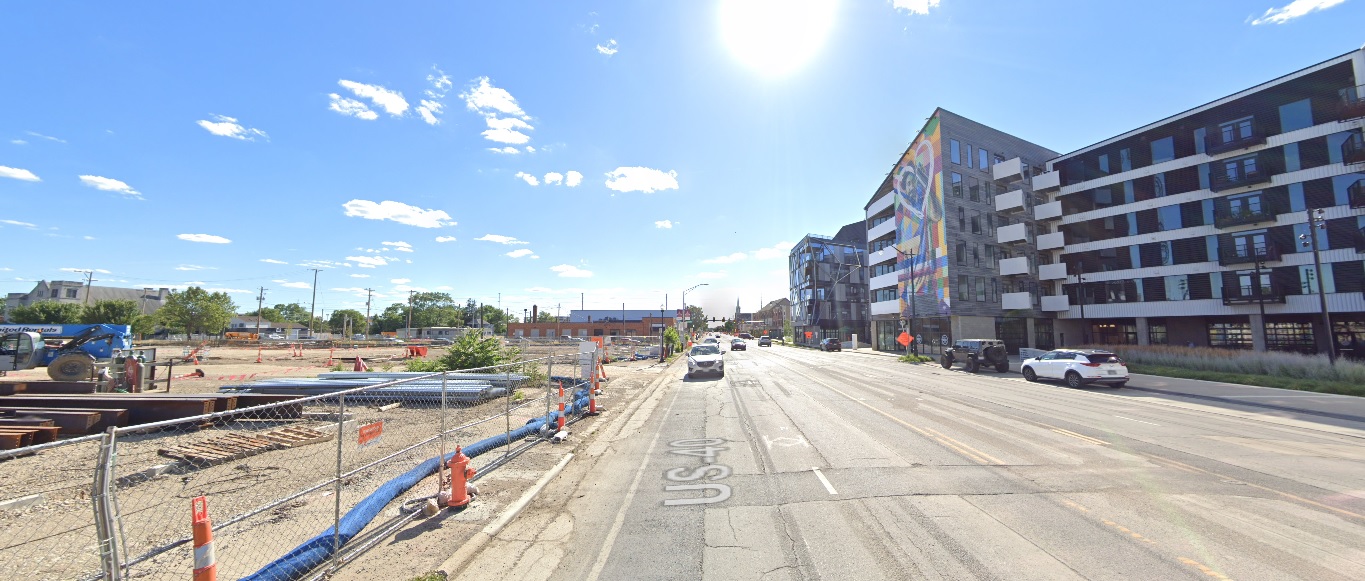
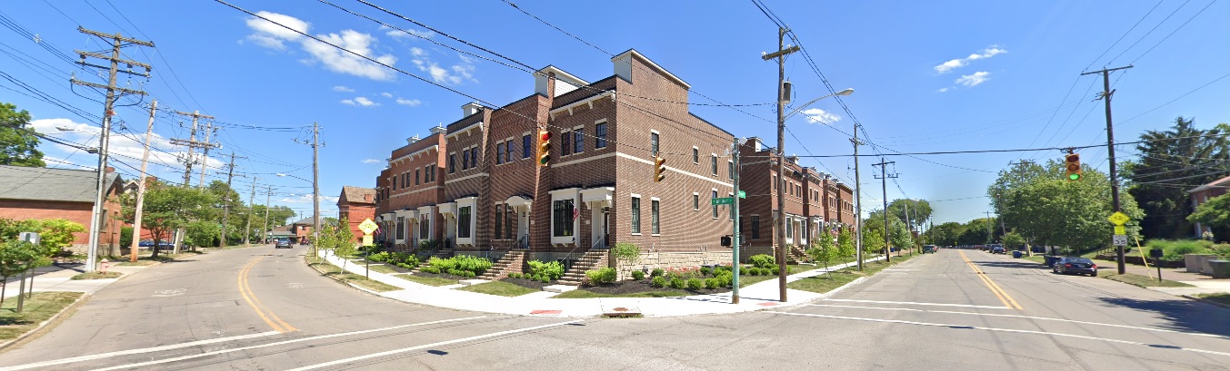
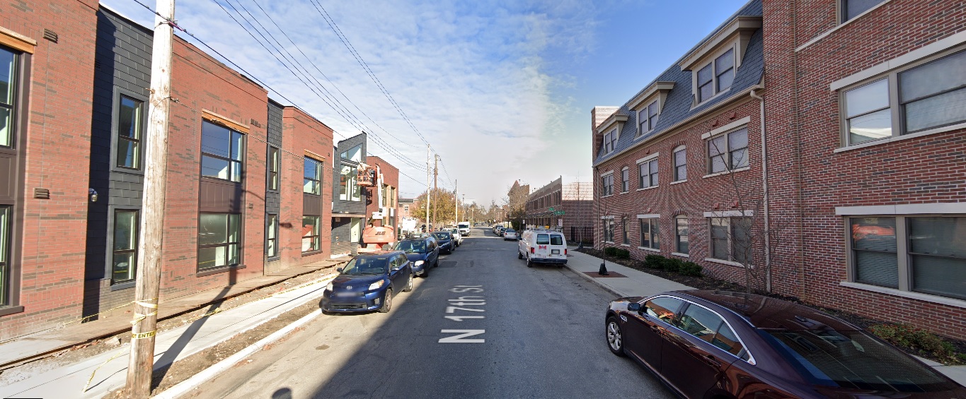
So housing construction will almost inevitably increase, but the makeup of that housing and where it will be built remains to be seen. No doubt suburban sprawl around the construction area will accelerate, but what happens in Columbus itself is likely to be somewhat different. The city could see a massive upward movement in urban infill projects that make the past decade look paltry in comparison.
You might be wondering why all this development would even occur just because of this one project, no matter how large it is, and that brings us to the next impact.

Population
A project as large as the Intel mini-city doesn’t happen everyday, and arguably nowhere else in the country is going to have something like it in the industry. Because of the scale and notoriety alone, it is inevitable that other companies- and not just tech- take notice and give the Columbus are a new look for investment or relocation. Columbus, and indeed Ohio, doesn’t have the high costs associated with the West Coast or even parts of the Sun Belt. Ohio doesn’t struggle with water supplies like the Southwest, has stable power, does not suffer from significant natural disaster threats, is positioned well for climate change and is arguably the best-located state for access to a majority of the US population. Seeing Intel make such a large investment in the state will attract other investments as well, and these new companies investing will need supporting infrastructure and companies of their own, as well.
In fact, this process has already begun. Intel itself has said that multiple other companies, such as Air Products, Applied Materials, LAM Research and Ultra Clean Technology, among others, are already moving to invest in the area. Many more will follow.
Over time, this will lead to a greater influx of people, spurring more and more development.
Obviously, this is not going to happen overnight. Intel’s first fab isn’t even due to be completed for potentially another 3-4 years, but the stars are aligning for the Columbus population to really begin taking off and enter a true golden age.

Infrastructure
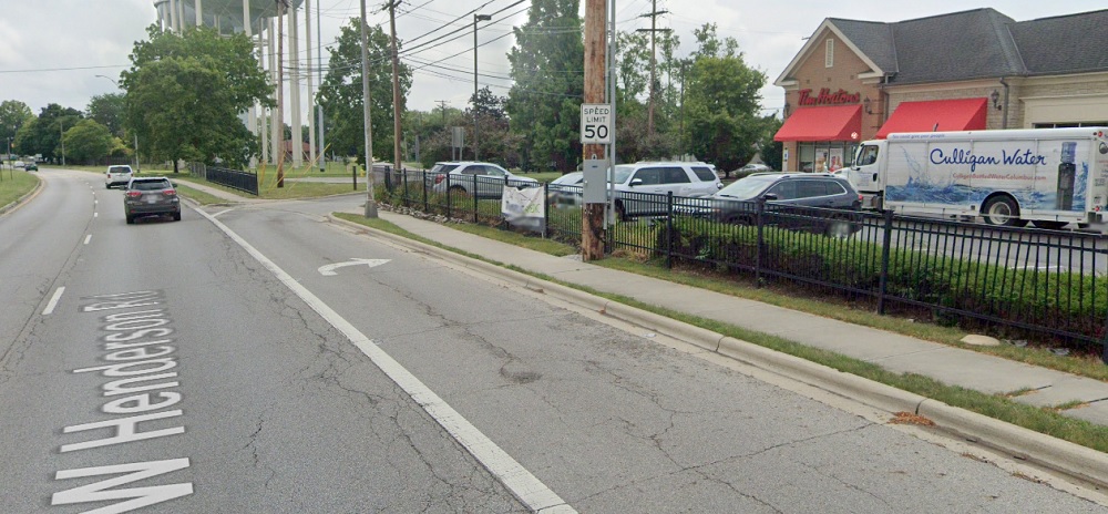
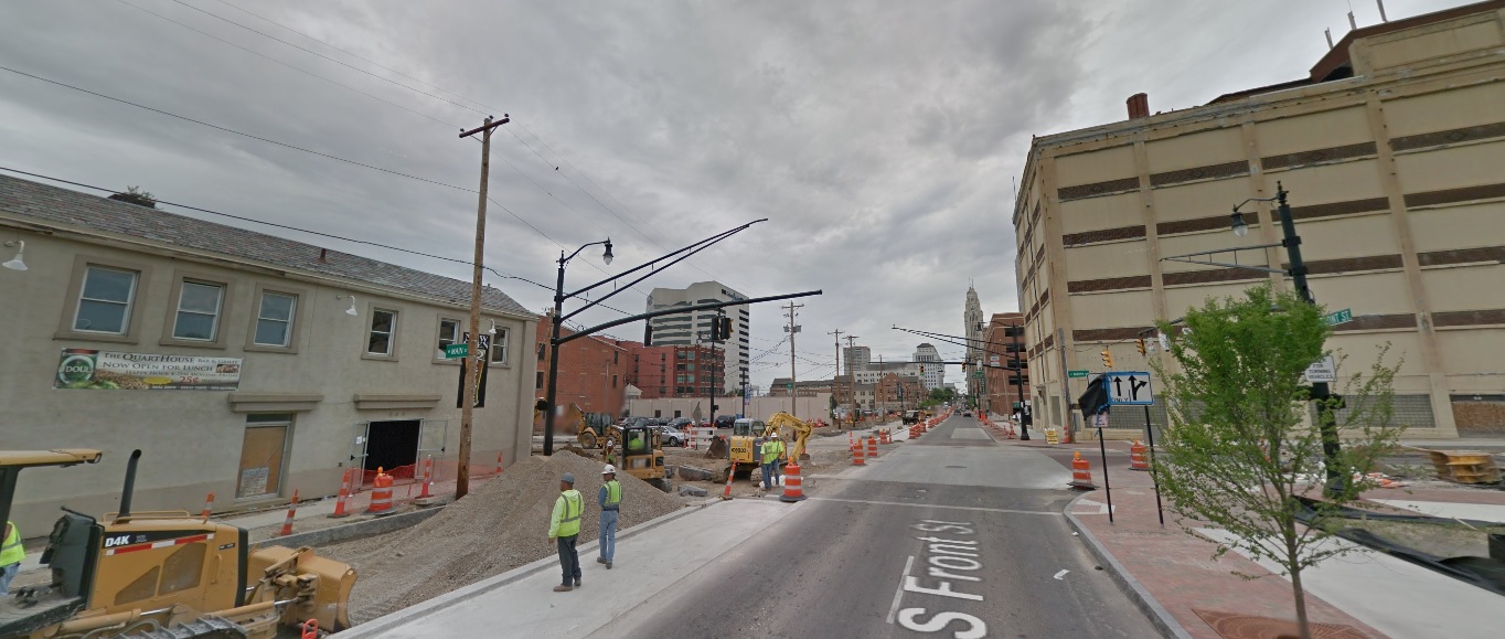
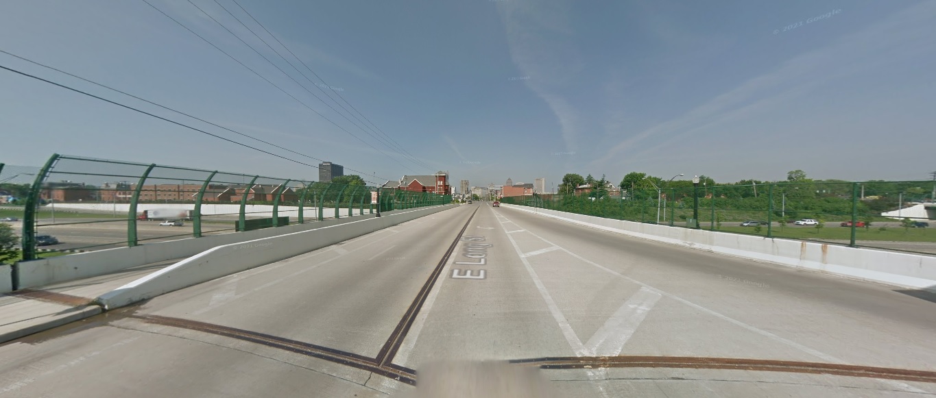
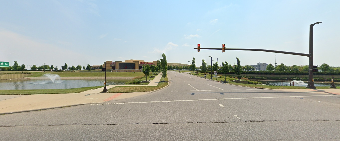
Up to now, the Columbus region’s infrastructure has been more or less sufficient in handling the needs of the population, with some exceptions. The highway system has been more than adequate to ensure that most trips around the area are relatively quick and easy, but should a rapidly-rising population manifest, that highway and road system may quickly fall behind. Even with current growth levels, traffic is becoming more of an issue. It’s been rumored that the State is going to invest up to a billion dollars improving infrastructure in the area surrounding the site, but this most likely is limited to roadway expansion, if anything.
One big negative for the region has always been mass transit. Columbus remains one of the few large US cities without rail service of any kind. It’s certainly possible, if not likely, that MORPC and other local planning groups are going to be faced with increasing pressure to invest in driving alternatives. COTA can only go so far. The plan to build BRT routes in some areas of the city is a start, but rail needs to be part of the longer-term picture. At the very least, a few lines between Downtown and the airport, and perhaps the airport and New Albany is something that needs to seriously be considered. The Columbus region can no longer afford to keep putting these investments off. Planning needs to start now, not later.

John Glenn International Airport is another potential weakness. While it is fine as a regional airport, all this news should put greater emphasis on the plan to replace the current terminal with a new one. Originally, city planners were talking about 2030 or later for this to happen. Due to the pandemic and a drop in overall air traffic, those plans were likely moved back even later, but if anything, the plans should go forward even sooner. This will allow the city to gain more flights- perhaps even some truly international ones- that are going to be increasingly in-demand.

The reality is that these are just a handful of the potential long-term impacts for the city and region, but they are the ones most obviously likely to be impacted the greatest. In effect, Intel’s mini-city is not just a single economic boost for Central Ohio, but it could also be the first wave in a tsunami of transformation that will change Columbus- good or bad- forever.


3 Major Columbus Proposals that Died in 2021


Columbus saw a ton of new development proposals the past year, but not all of them have a future. Here are 3 major Columbus proposals that died in 2021.

Harmony Tower
Originally announced in the summer of 2020, this proposal called for a 30-story, mixed-use tower to replace a parking lot at 158 N. High Street Downtown. The $100+ million project would’ve included a hotel, 15 floors of condos, office and retail space.
After announcing the project, Schiff Capital went silent and the project basically disappeared. There were no updates, no news. In some ways, it was a reminder of the way Arshot had gone silent on the SPARC project years earlier.

Sometime over the summer of 2021, plans for the tower were quietly abandoned, though no reason was given as to why. Speculation for its cancellation mostly revolved around Covid and its consequences related to supply chains and rapidly rising costs of construction materials.
Sadly, this was not the only skyline-altering proposal that went belly-up this year.

Whittier Peninsula Tower
At the end of 2019, a North Carolina company announced a proposal for a significant new development along the railroad tracks just to the east of Scioto-Audubon Metro Park in the Brewery District. The plan called for for the multi-phase development of 10 buildings, including a mixed-use tower that would reach up to 30-stories, with a 7-story and 12-story containing another 400 residential units and retail and office space making up the first phase. The use makeup of the 30-story tower and other buildings had not been determined fully at the time.

Rendering of the original 30-story tower.


As with Harmony tower, after the initial announcement there was radio silence for months. 18 months later, in June of this year, new renderings for the proposal all but confirmed that the project had gone through a serious downsizing. Instead of 10 buildings with heights between 7-30 stories, the update consisted of just 5 6-story apartment and retail buildings.
Unfortunately, the scaling down wasn’t finished. In early October of this year, yet another update was released. In it, the 5 6-story buildings had been reduced to to just 3. So the number of buildings had been reduced by 70%, and the top height was now 5x shorter than the original proposal. To me, it seems like a pretty blatant case of the developer never having the necessary resources- or ability to access the necessary resources- required for the original proposal, and by the end of it, the neighborhood development commission was just happy to approve whatever leftovers the developer had really intended to build all along.

The Mondrian
The Mondrian was originally a 13-story tower for 567 W. Broad in Franklinton. It was by far the largest proposal for Franklinton to date in its new revival. The Mondrian would’ve had 80 residential units and ground-floor retail space along Broad Street.

The 15-story Mondrian proposal rendering from Spring 2021.


In April we found out that the proposal had actually increased in height to 15 stories, likely to try to take advantage of new, large-project state tax credits, but otherwise, there was no known movement on this project.
We know by now that no news on a big project tends to be bad news, and while there has been no official word that this project has been canceled, the evidence points that it has met an end. It was reported earlier this month that the listed site for the project is now up for sale, indicating that the proposal is likely dead.
That said, this project could still have some legs to it and the situation will be monitored until a more definitive answer is known.

Proposals come and go, and in a city growing as fast as Columbus, the more proposals the city gets, the more likely it is that some of them never come to fruition.


Things Developers Say


On occasion, city leaders and developers say some absurd, ridiculous and hilariously tone-deaf comments regarding development and other urban issues in and around Columbus. And sometimes, as is the case with this example, those comments will highlight the often underwhelming results compared to the rhetoric.

15 years ago, the southeast corner of West Henderson and Reed Road was filled with a family-owned Italian restaurant called Da Vinci’s Ristorante. The restaurant had sat at the location since the mid-1970s and had become something of a local institution for the area.

For reasons that have been lost if ever reported, Da Vinci’s was closed and torn down in the spring of 2006. The family, it seems were either tired of the restaurant business, or had decided that a prominent location such as theirs could be a better money-making operation if it was redeveloped. Hence, Arlington Pointe, the current development on the site, came into being.

In a Dispatch article from that time, the developer- Ruscilli Real Estate Services- talked about the development in somewhat glowing terms.
“We wanted something that had more of a streetscape appeal,” said Ruscilli Real Estate President Tim Kelton. “There’s a lot of parking in the back and a hallway in the center. We wanted the shops and restaurants and everything very close to Henderson Road to fit into the neighborhood better.”

And what exactly did this development with lots of “streetscape appeal” look like? Yeah, it was just a standard strip center, the same kind that has been built 100,000x over across Ohio and the country, and now dominate the suburbs.
Things developers say Columbus, Ohio
Do the shops look close to Henderson? They are set well back from Henderson, actually, and a large parking lot wraps the entire way around the building. In fact, there is more parking fronting Reed and Henderson than there is in the lot behind the building, as can be seen from the aerial.

Like so many of these suburban strip centers, getting to the shops and office space by any means other than a car was completely ignored. In fact, the development caters to cars so thoroughly that it actually has its own mini-off ramp from Henderson.

Now, there are sidewalks around, but the chances that anyone actually uses them in what must be an unpleasant, loud and dangerous walk seem slim.

Ruscilli did get one thing correct, though- the project did fit in with the area given that the vast majority of neighboring development is much the same.

You can peruse the Proposed Development for upcoming projects.


How Columbus Changed in 10 Years Part 2


how Columbus changed in 10 years part 2 Columbus, Ohio

An overcast day in 2011.

I received a massive positive response for the first version of this series, which was just a simple mashup of before and after photos of different parts of Columbus urban neighborhoods over the course of a decade. Because of that response, I have decided to do this How Columbus has changed in 10 years part 2 series. This time, besides adding more photos from core neighborhoods, I will expand the series out to other parts of the city and some suburbs, though still remaining within the 270 Outerbelt. In some ways, these before and after photos are even more drastic than the first set.

Downtown

Front Street, looking north from Main Street.
Before: 2011

After: 2021

Gay Street, looking west from Front Street.
Before: 2011

After: 2020

Gay Street, looking northeast from Normandy Avenue.
Before: 2011

After: 2021

High Street, looking north at the Convention Center.
Before: 2011

After: 2021

Nationwide Boulevard, looking north just east of Front Street.
Before: 2011

After: 2021

Nationwide Boulevard, looking east from the Olentangy River.
Before: 2011

After: 2021

Spring Street, looking northeast from Neil Avenue.
Before: 2011

After: 2020

Spruce Street, looking south from 670.
Before: 2011

After: 2021

Goodale Street, looking west from the 315 Exit.
Before: 2011

After: 2021

Short North

High Street, looking south just north of 3rd Avenue.
Before: 2009

After: 2021

Weinland Park

High Street, looking north at 7th Avenue.
Before: 2011

After: 2021

Italian Village

Detroit Avenue, looking east at Hamlet.
Before: 2009

After: 2019

4th Street, looking north from 4th Avenue.
Before: 2011

After: 2021

OSU Campus

Fred Taylor Drive, looking east at Defiance Drive.
Before: 2011

After: 2021

High Street, looking east at 15th Avenue.
Before: 2011

After: 2021

Medical Center Drive, looking north at Old Cannon Drive.
Before: 2009

After: 2021

Olentangy River Road, looking west at J Edward Weaver Memorial Drive.
Before: 2011

After: 2021

Milo-Grogan

Cleveland Avenue, looking north towards 5th Avenue.
Before: 2011

After: 2021

American Addition

Lee Avenue, looking south from 12th Avenue.
Before: 2009

After: 2019

Linden

Cleveland Avenue, looking north at Agler Road.
Before: 2011

After: 2021

Easton

Worth Avenue, looking east from Fenlon Street.
Before: 2011

After: 2021

Worth Avenue, looking east from Stelzer Road.
Before: 2011

After: 2021

Franklinton

Souder Avenue, looking west just south of I-70.
Before: 2011

After: 2021

Fifth by Northwest

Norton Avenue, looking north halfway between 3rd and 5th.
Before: 2011

After: 2020

Chesapeake Avenue, looking west.
Before: 2011

After: 2020

King-Lincoln

Long Street, looking west at I-71.
Before: 2011


After: 2021

Long Street, looking northeast at Garfield Avenue.
Before: 2011


After: 2021

Long Street, looking north just west of 21st Street.
Before: 2011


After: 2021

West Side

Georgesville Road, looking east south of Broad Street.
Before: 2011

After: 2021


North Side

Wakeford Street, looking west from Olentangy River Road.
Before: 2011

After: 2021

Ohio Health Parkway, looking north from Healthy Community Way.
Before: 2015

After: 2021

East North Broadway, looking north at 315.
Before: 2011

After: 2021

Grandview Heights

Yard Street, looking north from just south of Burr Avenue.
Before: 2011

After: 2020

First Avenue, looking northeast at Edgehill Road.
Before: 2012

After: 2021

Dublin

Edwards Farms Drive, looking south at Frawley Drive.
Before: 2011

After: 2021

Dale Drive, looking northwest north of Banker Drive.
Before: 2011

After: 2021

High Street, looking north from North Street.
Before: 2011

After: 2021

High Street, looking east at Rock Cress Parkway.
Before: 2011

After: 2021

Upper Arlington

Riverside Drive, looking east just south of Bethel Road.
Before: 2011

After: 2021

Bexley

Parkview Avenue, looking southwest just north of Main Street.
Before: 2011


After: 2021

Main Street, looking northwest at Cassady Avenue.
Before: 2011


After: 2021

As I stated in the previous installment, these photos still just represent a small fraction of the development and changes that have occurred across the city and its suburbs in the past decade. These are meant to be representative of those changes, not to suggest that other neighborhoods not featured didn’t change as well. Either way, enjoy!

This 2-part before and after series highlights many projects that have changed the landscape around the city. Many other projects that will continue to transform the area for the next decade and beyond are still in development or construction phases. A list of local area commissions provide monthly updates on potential new projects around the city.


Before and After: How Columbus Changed in 10 Years


How Columbus changed in 10 years

Part 2 is now available for more great before and after comparisons.

How Columbus has changed in 10 years is not always easily quantifiable. Columbus added more people in the past decade than during any previous similar period in its history. I’ve posted a lot about the 2020 Census data and updated many pages worth of information to the site. However, examining only population change through numbers is just one part of the story. How has that population growth manifested in terms of how the city appears in its built environment? This before and after look shows how the city has been transformed on a visual scale, and shows how some of the hottest neighborhoods have been radically altered in a short time.

Downtown
High Street, looking north from Rich Street
Before: 2011

After: 2021

High Street, looking north from Gay Street
Before: 2011

After: 2021

Long Street, looking east from 6th Street
Before: 2011

After: 2020

Neil Avenue, looking east at Broadbelt Lane
Before: 2011

After: 2021

The Short North
High Street, looking north from Milay Alley
Before: 2011

After: 2020

High Street, looking south from Buttles Avenue
Before: 2011

After: 2021

Fourth Street, looking east at Auden Avenue
Before: 2011

Before: 2021

Summit Street, looking west at 5th Avenue
Before: 2011

After: 2021

Perry Street, looking south at Quality Place
Before: 2011

After: 2021

Weinland Park
Grant Avenue, looking north from 7th Avenue
Before: 2012

After: 2021

Eighth Avenue, looking west from Section Alley
Before: 2011

After: 2020

Franklinton
Rich Street, looking east from McDowell Street
Before: 2011

After: 2021

Broad Street, looking west from the railroad tracks.
Before: 2011

After: 2021

South Side
Livingston Avenue, looking east at Parsons Avenue
Before: 2009

After: 2020

Washington Avenue, looking southeast from Innis Avenue
Before: 2011

After: 2020

Front Street, looking south at Whittier Street
Before: 2011

After: 2021


Campus
High Street, looking south from Lane Avenue
Before: 2011

After: 2020

10th Avenue near Dodd Drive, looking northwest.
Before: 2011

After: 2021

High Street, looking south from 8th Avenue
Before: 2011

After: 2021

West Side
Parsons Avenue, looking northeast from Chapel Street
Before: 2011

After: 2020

Champion Avenue, looking northwest at Phale D. Hale Drive
Before: 2011

After: 2021

17th Avenue, looking north from Gay Street
Before: 2011

After: 2020

Broad Street, looking northeast west of Woodland Avenue
Before: 2011

After: 2021

Oak Street, looking east from Ohio Avenue
Before: 2011

After: 2021

These images represent just a small fraction of the development and changes that have occurred in and around the city, and don’t even include the large developments in suburban areas like Grandview Yard in Grandview or Bridge Park in Dublin. The next 10 years looks to be even more significant, with new mixed-use towers for Downtown, potential skyscrapers for Easton, and large numbers of infill development projects continuing in central neighborhoods from Franklinton to Linden to the South Side. With them, the city will continue to grow more dense and more vibrant and- with any luck- will also help spur much needed change to Columbus’ underwhelming transit system.

These Columbus development links show many of the projects seen in the photos, as well as projects that are still just in the proposal stages. The City provides a master list of area development commissions to keep track of the latest proposals.