
This page details non-thunderstorm wind events, meaning that they are severe wind events that weren’t driven primarily by thunderstorm activity.
Last Updated: 9/6/2022- Added to the 1950-1959 period.
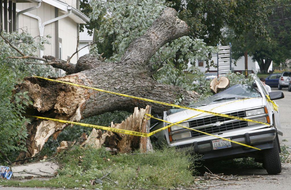
2020-2029
November 15, 2020
A low pressure brought a strong gradient across the region, with the Columbus region seeing wind guys to more than 60MPH during the early afternoon, causing tree and minor structural damage.
https://www.weather.gov/iln/20201115
https://www.dispatch.com/story/news/2020/11/15/high-wind-leaves-thousands-without-power-across-ohio/6304327002/
January 11, 2020
Ahead of a strong cold front, temperatures reached record highs into the 70s, but as the cold front moved through, a high wind warning was issued. Winds gusted above 50MPH throughout the region, causing power outages and downed trees.
https://www.weather.gov/iln/20200111
2010-2019
2019
December 30, 2019
A strong low pressure system brought winds of 50-70MPH, knocking out power to thousands across the Columbus area.
https://www.weather.gov/iln/20191230
November 27, 2019
A low pressure system with a tight gradient brought winds of 50MPH to the area.
https://www.weather.gov/iln/20191127
February 24, 2019
A tight gradient caused high winds across the area of between 50-60MPH. See details here: https://www.weather.gov/iln/20190224
October 20, 2018
A low pressure and strong gradient brought winds of 40-50MPH during the afternoon and evening. See details here: https://www.weather.gov/iln/20181020
2000-2009
September 14, 2008- Hurricane Ike
The remnants of Hurricane Ike brought Ohio one of its worst windstorms ever and was the costliest natural disaster in Ohio history.
**More details coming soon**
1990-1999
May 1, 1997
Strong winds hit most of Northern Ohio during the morning hours of the 1st, including parts of the northern Columbus Metro. Winds gusts over 60MPH toppled a 135′ advertising sign in Mt Gilead in Morrow County, crushing 3 cars.
March 25, 1997
Low pressure brought strong winds to central and northwestern Ohio during the morning and afternoon. Wind gusts reached up to 60MPH. In Union County, a pair of tractor trailers were blown over on Rt. 33, closing the highway for more than 2 hours. Other areas saw trees blown down and windows broken from flying debris.
1980-1989
1970-1979
1960-1969
1950-1959
January 14-15, 1950
A powerful weather system moved across the northern US the 2nd week of the month. As it passed Ohio, a strong gradient produced winds of between 50-60MPH across most of the state.
1940-1949
January 14-15, 1940
A strong cold front brought high winds to the region. Highs in the low 50s early that Sunday fell into the 20s by the following morning, as the front brought winds that reached 60MPH in gusts at Port Columbus at least 3 separate times before falling to 20-30MPH by Monday morning. The high winds blew shingles off roofs, downed trees, snapped power poles and broke windows across the Columbus area.
1930-1939
April 2, 1932
Strong winds began blowing from the west just before Noon and gradually increased through the afternoon. The strong winds reached an average speed between 35MPH-42MPH with gusts over 50MPH before falling off in the evening. Windows were blown out in buildings across the city, and tree limbs fell on trolley lines at High and 18th, delaying 19 cars.